|
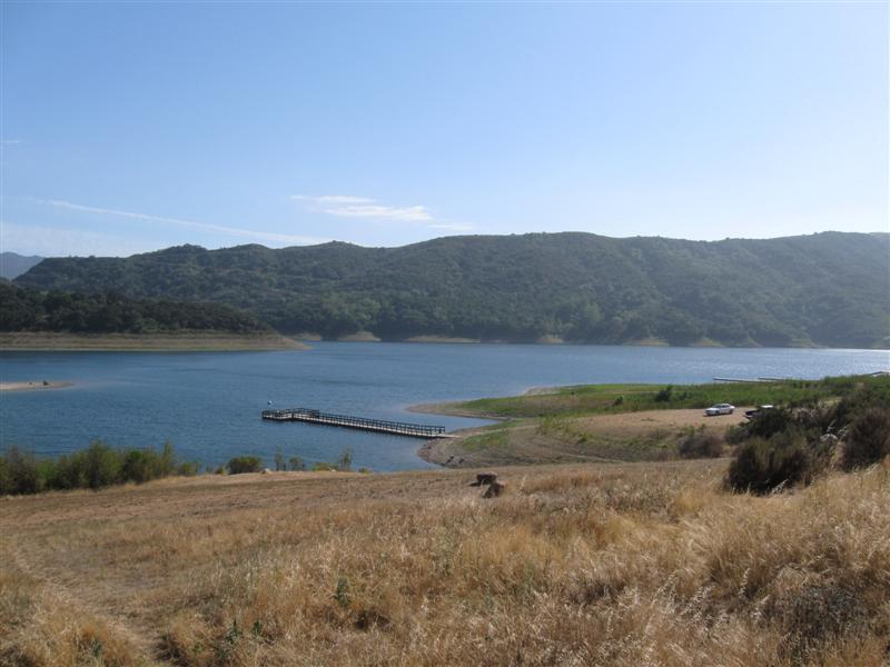
[Home] [Camper Add-Ons] [Campsite Map] [Interviews] [Photo Albums] [Sporadic Blog] [Tips] [My Music] [Contact Me]
|
- You might get an occasional tweet if you follow me on Twitter @RamblinRalph
- The "big picture" of where I've camped
- Sign my guest book and leave comments
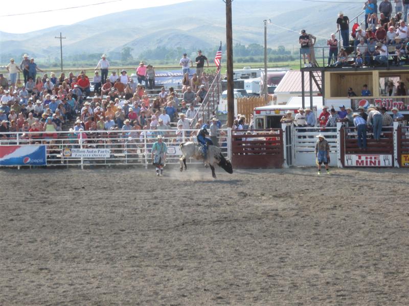
- One of my photos was a winner in the Truck Camper Magazine 2011 Calendar Photo Contest! See it here.
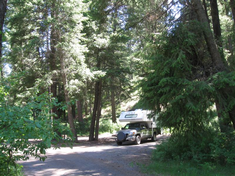
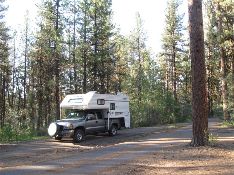
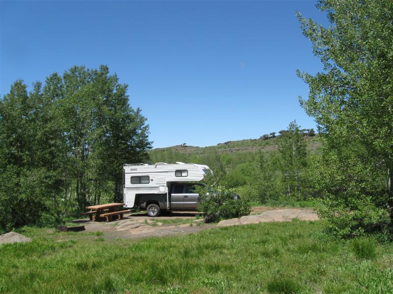
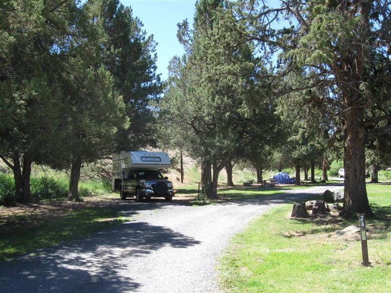
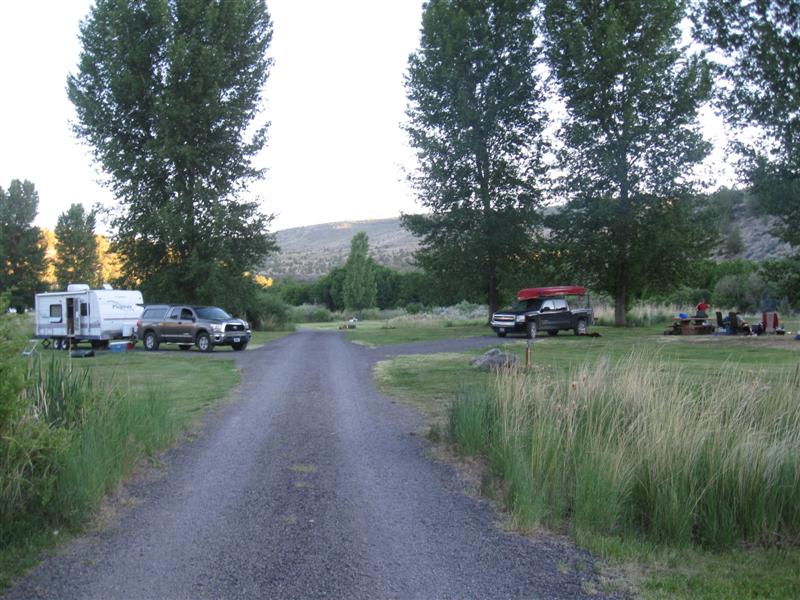
![]()
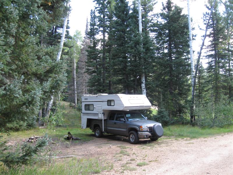
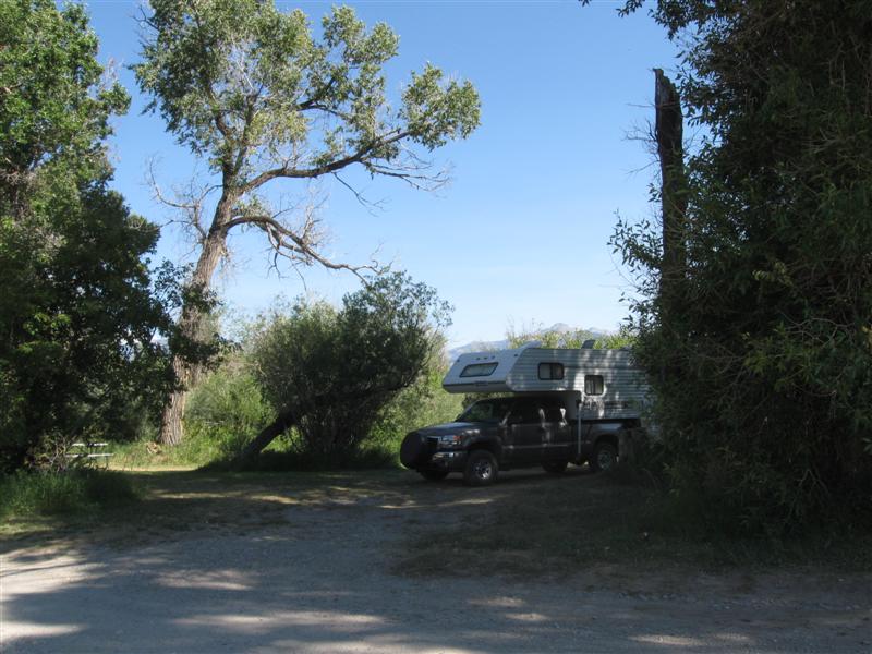
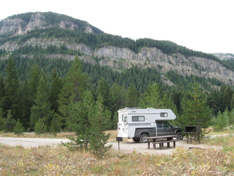
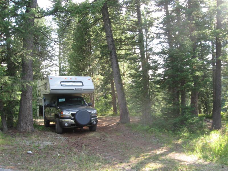
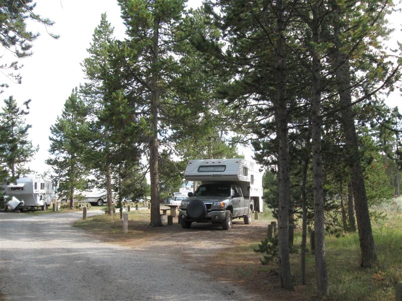
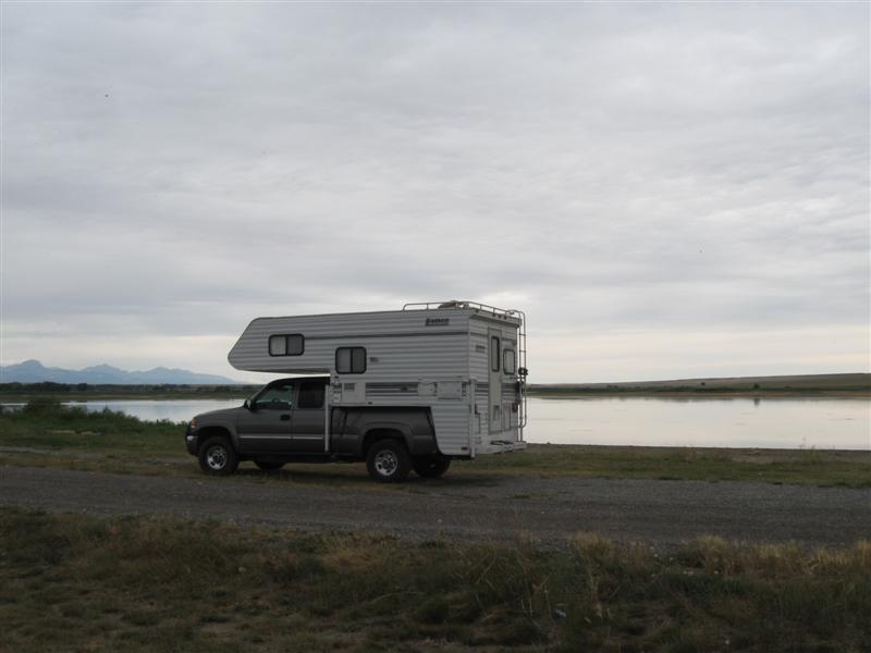
2006
GMC 2500HD w/2001 Lance 845 Previous years' travels: 2006
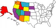
2007 2008 2009 States
Visited Map (plus BC/AB/YT in Canada)
2010 2011
2012-Alaska
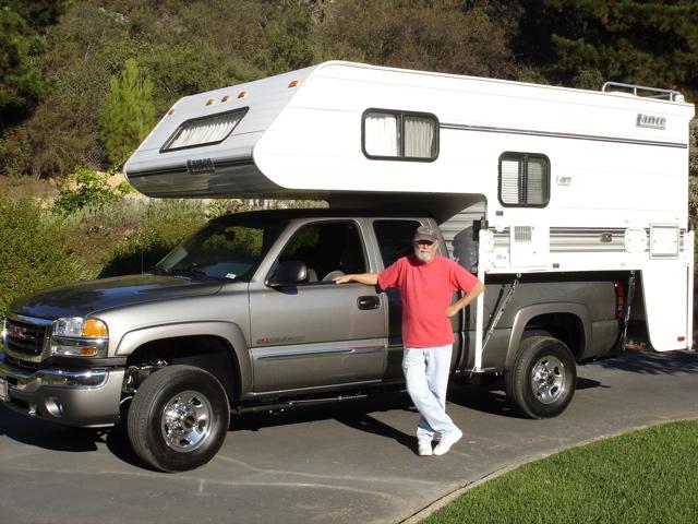
I bought my new truck and used camper in late October of 2005. The following May, I "hit the road" full-time for 6 months. I've done the same every year since, and now 2013 will be my 8th year of ramblin'! My how time flies. Not all of my nights are spent camping, but most are. I don't make entries that are repeats of previous campgrounds or when I stay with my kids or friends. Campsite fees are for one night with no discount (and no hookups, unless specified). However, being the old geezer that I am, I get 50% off at U.S. Guvmint CGs with the valuable Golden Age card, plus free entry to National Parks.. One of the few ways (in addition to retirement) it pays to get older. All the aches and pains sure aren't fun. :)
I started my travels this year with almost 70K miles on my camper and 107K miles on my truck.
Note: Click on small photos for a larger one. Click on
the USA map/flag (![]() )
to see the actual camp location (green arrow) on a map (+/- 50 ft).
)
to see the actual camp location (green arrow) on a map (+/- 50 ft).
|
Ref # |
Date |
Location |
Campsite & Other Photos (click links) |
Comments |
|
|
11/12/13 |
That's it folks. Road Trip 2013 is over. I'm back at my winter residence on the Central Coast of California. Had another great year of ramblin'. Thanks for traveling along with me! This year's stats:
You can contact me via my Guest Book or email. The quick way to see where I've been is to look at my Campsite Map. Standby for Road Trip 2014 starting in May, 2014!! |
|
|
|
78 |
11/11/13 |
Antelope
Valley Fairgrounds RV Park. In Lancaster,
CA. 2300 ft. |
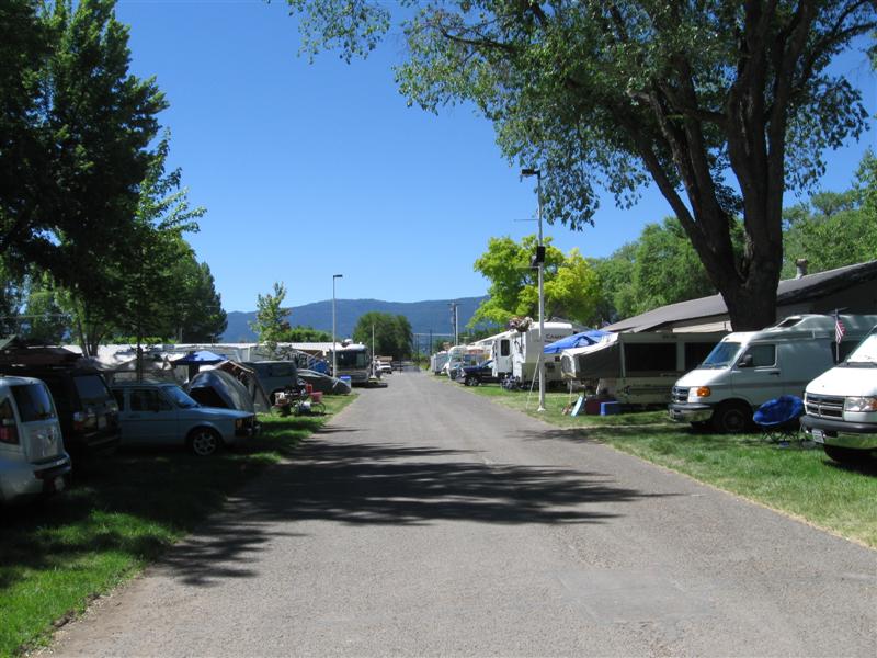
80+ paved spaces, pull-thru & back-in. Water, electric & sewer at all. No shade. Large building with flush toilets and showers. Free WiFi. Some "hum" from freeway about 1/2 mi away. $20 (w/full hookups). I normally avoid commercial RV parks. I must say, though, this a pretty nice one at a very reasonable price. I camped here so I could visit the Lance Camper factory the next day. Have a problem with my camper that I wanted them to look at. Looks like it will cost me quite a bit, but one has to pay the piper (if they want to keep ramblin'). |
|
|
|
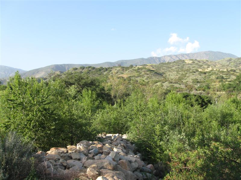
10/31/13 |
Same CG as (5/7/13). Steckel Park CG (County), 700 ft. |
|
|
|
77 |
10/15/13 |
San Lorenzo CG (County). In King City, CA.
290 ft. |
|
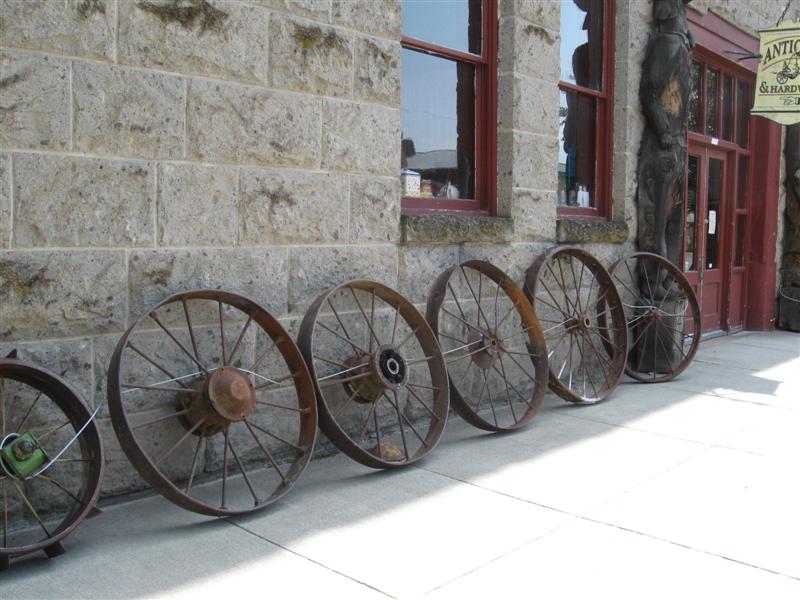
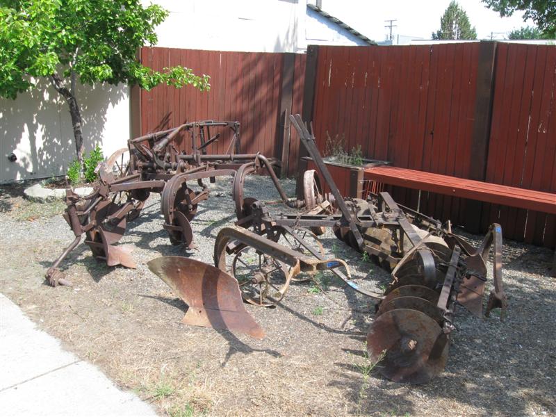
Part of a large county park. Amost 100 sites, close together, on level land. In 3 concentric loops. A mix of paved and grass sites. Most sites have water & electric (25 have sewer, also). Many sites have significant shade, due to large leafy trees. About 1/2 mile away from busy US101, but noise fairly low level. Flush toilets, showers & laundry. Agriculture museum in the park, along with much old farm equipment spread around the grounds. $33 (off season) w/water + elec. $35 in summer. |
|
|
10/2/13 |
My Montana trip has officially ended, as I have reached my daughter's in Napa, CA. Left here on June 20 to start the trip. Hard to believe 3-1/2 months has gone by. I'll be traveling in my camper for another month, but will only be doing sporadic camping. So, not many more posts this year.. Thanks for traveling along with me. We'll do it again next year. :) |
|
|
|
76 |
10/1/13 |
Sandy
Beach CG (County). About 2 mi S of hwy 12
at Rio Vista, CA. 30 ft. |
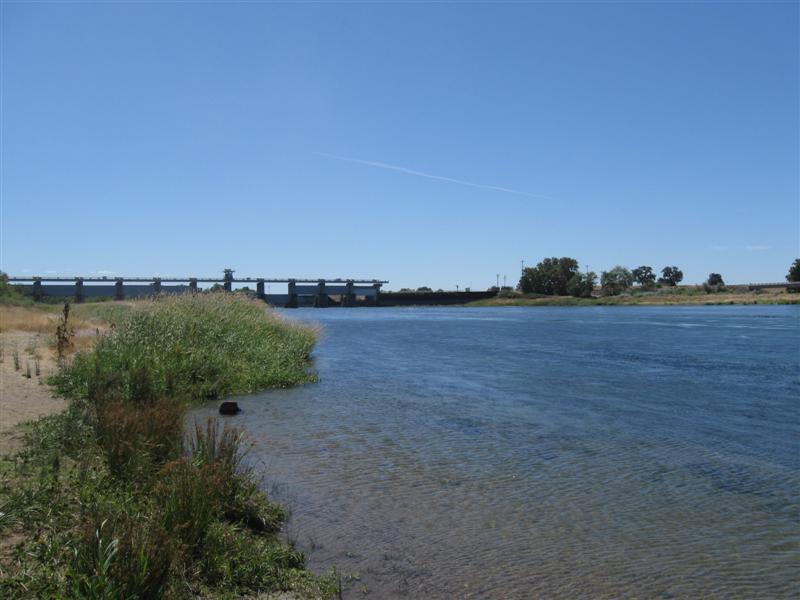
About 40 paved sites on level land, in 2 loops. All sites are pull-thru, parallel to the road. Shade varies a lot with site. The wide Sacramento River is a short walk away and visible from some sites. Flush toilets and showers. Free-if-camping dump station. Launch ramp. $30 (w/water & elec); $18 if 65+ geezer (a good deal). When I pulled in, many of the sites in the only open loop had "reserved" cones. I took one of the 2 that didn't have a cone. No one stayed in those sites that night. I asked a Ranger the next morning and he said they put the cones on all unoccupied sites on Sunday and expect campers to check the reservation board (at the unmanned entrance station) to see if a site is really reserved or not. Hmmm. Doesn't work too good for first-time-there campers (like me). |
|
|
75 |
9/30/13 |
Indian Grinding Rock State Park. 1.5 mi NE of Pine Grove,
CA on Pine Grove - Volcano Rd. 2500 ft. |
23 paved sites on sloping ground. Most sites very shady due to heavy stand of trees. All sorts of various trees and shrubs. A tree lover's delight! Nature trail, also. Most sites on the small side, by today's standards (mine wasn't). Flush toilets & showers. $30. |
|
|
74 |
9/29/13 |
Big Oak CG on New Melones Lake (BOR). From Angels
Camp, CA go 2 mi S on hwy 49 then 4 mi S on paved
Whittle Ranch Rd. 1100 ft. My lowest elevation CG since June 20 (also in CA)!! |
|
54 paved sites on hilly land. Scattered live oak trees for just a bit of shade in some sites. Some sites have a view of the lake, which is very low now. Flush toilets and pay showers. Launch ramp and marina nearby. The larger (about 90 sites) Iron Horse CG is across the road. $22. I was going to stay another night. But when I told the camp host, she advised me the CG had abruptly been closed that day (Monday)! All federal CGs were affected (no new budget yet). Bummer. Now I can't use my 50% discount Golden Geezer card. :( |
|
73 |
9/27/13- |
Wa Ka Luu Hep Yoo CG (USFS) near Dorrington, CA.
Take Boards Crossing Rd from hwy 4 for about
5 miles. 4100 ft. Note: A bit confusing at first when winding through the residential area off hwy 4. Watch for a campground symbol sign. |
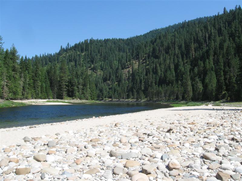
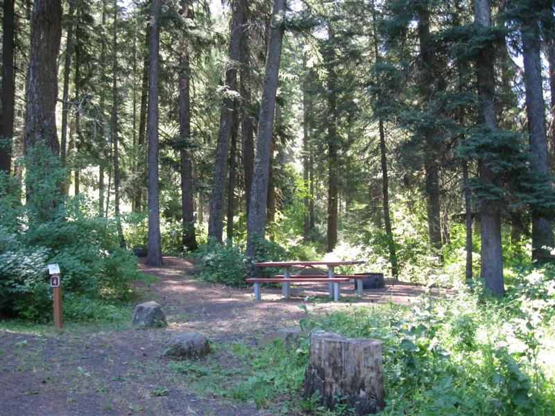
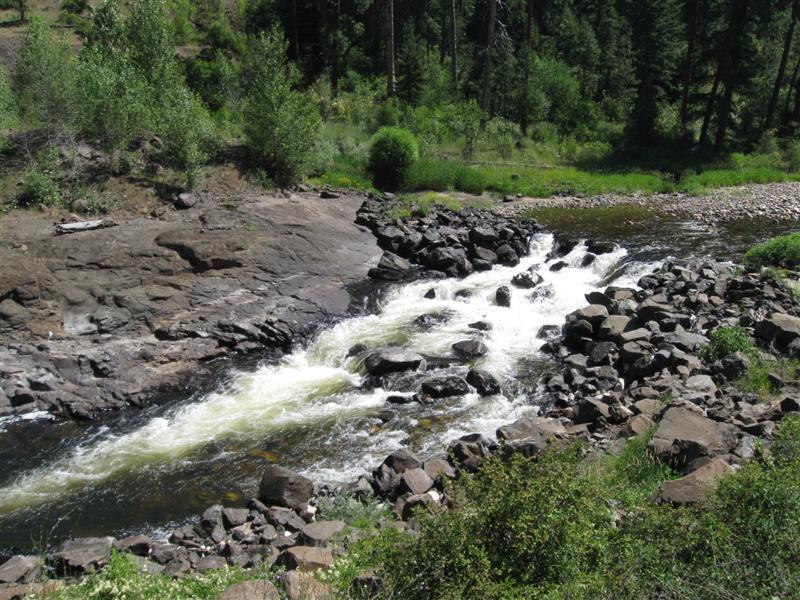
Very nice campground in tall, tall pines and shorter cedars and oaks. Lots of shade. 50+ sites on hilly land. Over 1/2 are tent only. The pretty Stanislaus River (N Fork) a short walk away. One restroom with flush toilets and showers. The others are vaults. Was here in 2010. $16. |
|
|
|
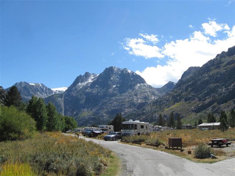
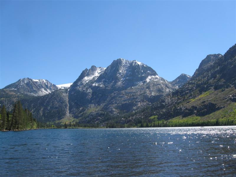
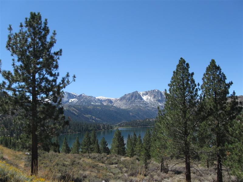
9/25/13- |
Same CG as 6/5/13 (Robinson Creek). 7000 ft.
|
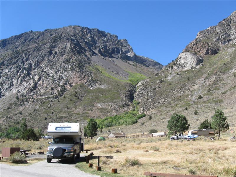
Fall Colors Starting |
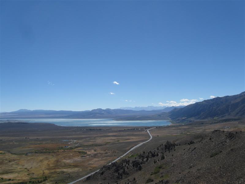
Back at my favorite CG in the Eastern Sierra. First morning I woke up to about an inch of snow on the picnic table and a low of 30F. Second night had a low of 19F and my camper was 31F inside when I woke up! I'm outa here. Heading over the Sierras to low elevation (and higher temps) on the west side. $20. 19F is the lowest temp I've ever experienced in my camper. Beats the 20F record set in Alaska in late August last year. Thankfully, no evidence of water pipes breaking. |
|
72 |
9/23/13- |
Silver Lake CG (USFS). About 5 mi W of June
Lake, CA on hwy 158. 7100
ft. |
|
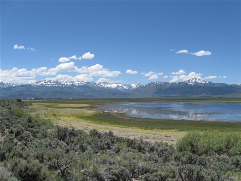
60+ paved sites in 2 loops on level land. Very widely separated sites. S loop is near the lake, while the N loop is near a creek (outflow of lake). Can't see either lake or creek from sites, due to trees/bushes. Essentially no shade in N loop. S loop has some sites somewhat shaded by tall bushes. No shade isn't that big of a deal this time of year with mild temperatures. The fantastic view of the Sierras more than makes up for it. You can always bring shade, but you can't bring views. :) Flush toilets and pay showers. $20. Got really windy the 2nd night and next a.m. My camper was rocking around. Reminded me of my Navy days. :) |
|
71 |
9/22/13 |
Big Springs CG (USFS). 18+ mi S of Lee Vining,
CA on US395 then 2 mi NE on Owens River Rd. 7300
ft. |
|
26 large dirt sites on sloped and level land. Primitive CG (no water/trash and pit toliets). Part time shade in sites from tall pines. Spring fed head waters of the Owens River alongside in a small canyon. CG almost full when I got there late Sunday afternoon. Most people were deer hunters. Saw evidence of some success. Low of 36F. $0 w/donation box. I'm back in my absolutely favorite part of California for recreation - The Eastern Sierra! Been fishing this area for 40+ years. |
|
70 |
9/21/13 |
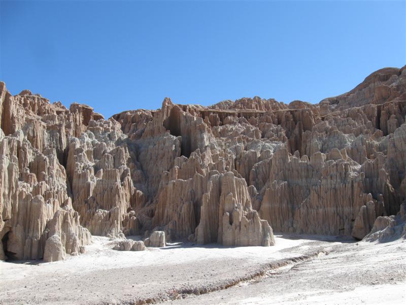
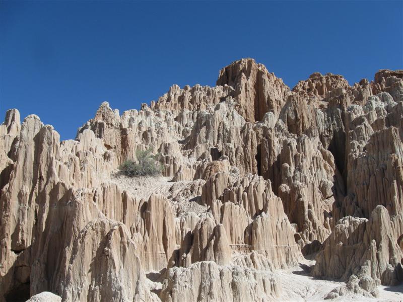
Berlin-Ichthyosaur State Park CG. From Gabbs,
NV go N on NV361 for about 2 mi then turn E on hwy 844.
Stay on 844 for about 18 mi and watch for signs to Park
(about another 2 mi). 6800 ft. Note: Above GPS coordinates are for the Park entrance. CG is about 2 more mi through the Park . |
|
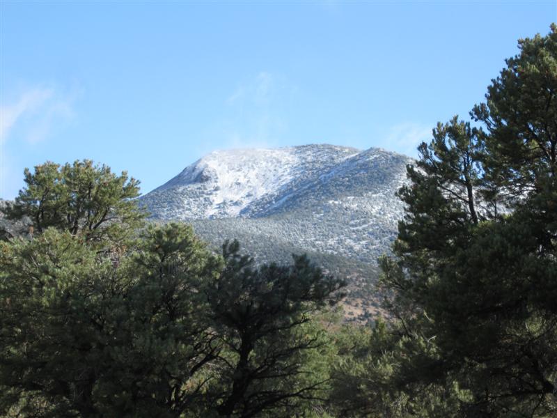
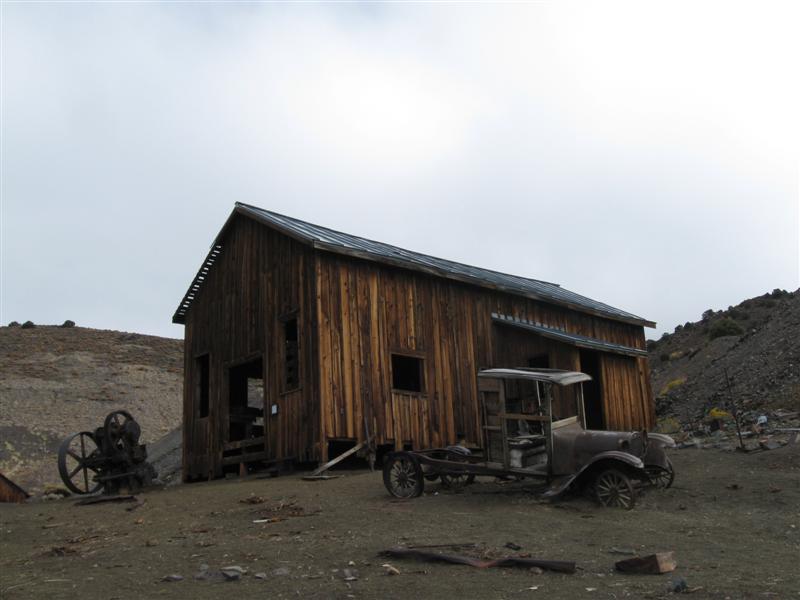
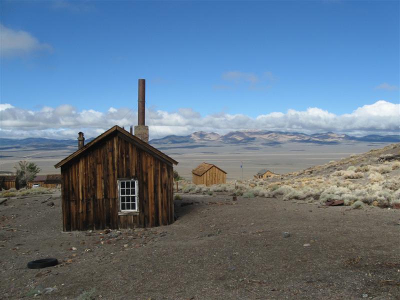
About 14 gravel sites on sloping land. Lots of small trees, but not much good for shade. However, there are shade structures over the picnic tables. Several buildings from old mining town (Berlin) at the Park entrance. Dump station. Rained steadily most of the night. Low of 36F. Light snow on nearby mountain tops in the a.m.. $17. Coming here today I took a suggested scenic route through the Reese River Valley. Interesting drive, but would have been more scenic with snow in the mountains. Goes through another mining "ghost town" called Ione. You'll most likely have the road almost to yourself. |
|
69 |
9/20/13 |
Big Creek CG (USFS). 14 mi S of Austin, NV.
Go NW from town on US50 about 3/4 mi and turn
left on paved road at CG sign. From there follow
Big Creek Rd (which becomes gravel) to the CG. Watch
for CG signs at road junctions. 6600 ft. Note: My GPS got me there. Hopefully yours will too. |
|
Five primitive gravel/dirt sites and one group site on level land in a canyon. The group site even has a horseshoe pit. Hardly any trees for shade, except the first site on entry (which I was in). The misnamed Big Creek is alongside the CG. Vault toilets. I was the only one here and it was very peaceful. Nice little CG. $0. The low last night was only 44F at about the same elevation it was 26F the prior night. ?????? |
|
68 |
9/19/13 |
Illipah Reservoir CG (BLM). Almost 36 mi W
from Ely, NV on US50, then turn left on Green Springs
Rd,
then quickly left on NF400. Continue about 1.2
mi to CG. 6800 ft. Note: My GPS said to turn off US50 on CR-11, but there was no such road. Green Springs Rd just a bit further W. |
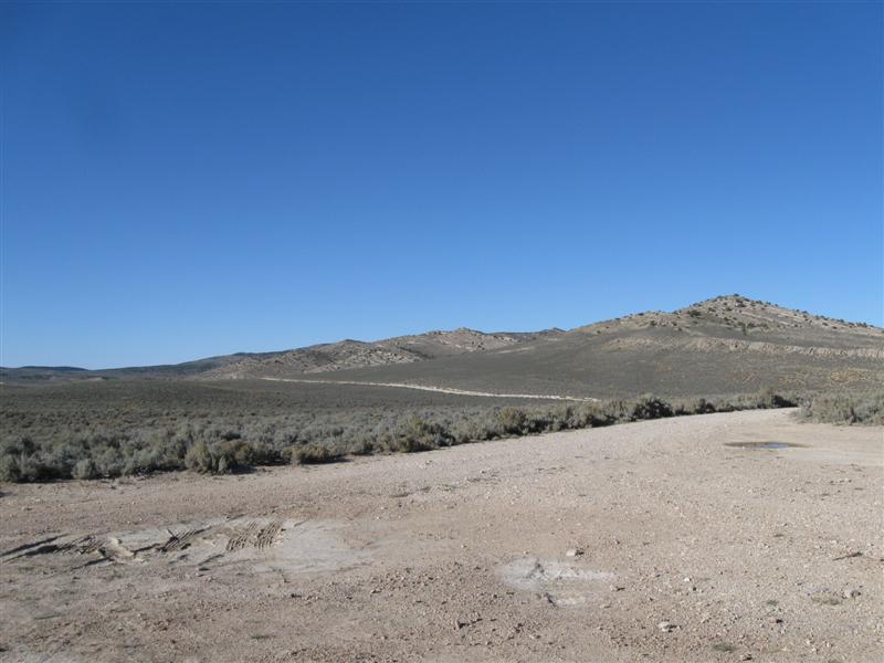
About 15 dirt sites on level land widely apart. Not "sites" in the usual sense, since this is more a camping "area" than a typical campground. Most sites have a shade structure. Some sites overlook the reservoir (very low now). Clean vault toilets. It seems to me the main reason to camp in this desolate place is to fish or get a freebie campground for a one night stop while traveling US50 (like moi). $0. The low at night was 26F (low of this trip) and my camper was 40F when I woke up! No wonder I was searching for another blanket. :) |
|
|
67 |
9/18/13 |
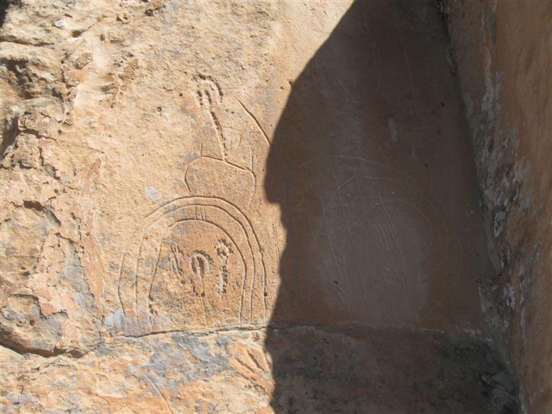
Cathedral Gorge State Park CG. From the US93/NV319
junction near Panaca, NV go about 1 mi N on US93 then
W on paved park road for about 1.5 mi (follow campground
signs). 4800 ft. |
|
Desert environment CG with 22 gravel sites on level land. Some small trees, but real shade will come from the man-made structures. A convenient stop for US93 travelers and you won't hear any noise from the hwy. The CG is surrounded by rosy colored hills. Via a 1/4 mile walk to the E (or you can drive) mother nature has created some quite interesting rock formations in the hillside. Nice restrooms with flush toilets and showers. Dump station. $17. At the location of the "On The Way Here" picture, I saw a guy parked and turning a radio antenna around. Turns out he was tracking California Condors that had radio transmitters on them. He said he had tracked about 25 in that valley. |
|
66 |
9/17/13 |
Duck Creek CG (USFS). 28 mi SE of Cedar City,
UT on hwy 14. 8500 ft. |
|
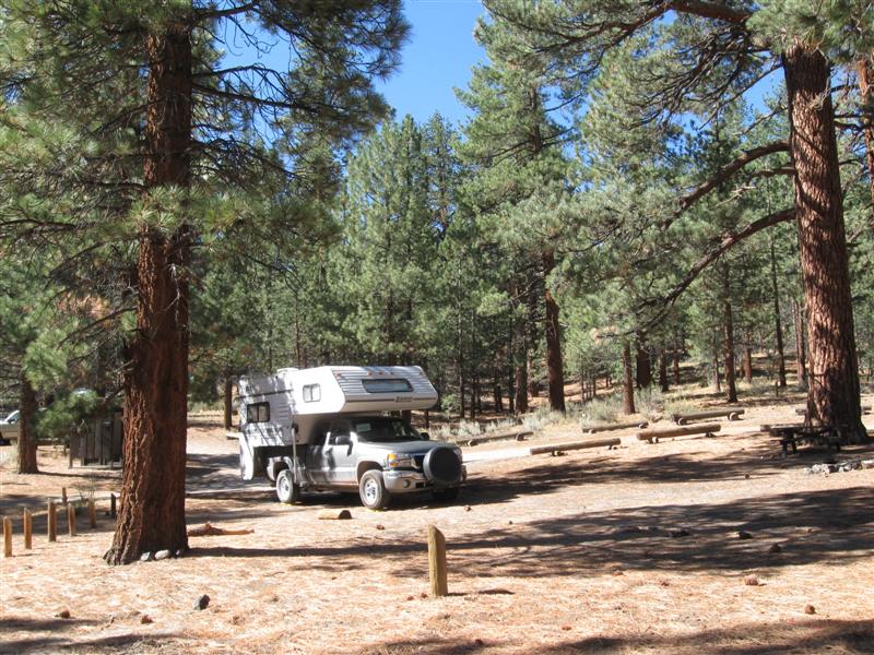
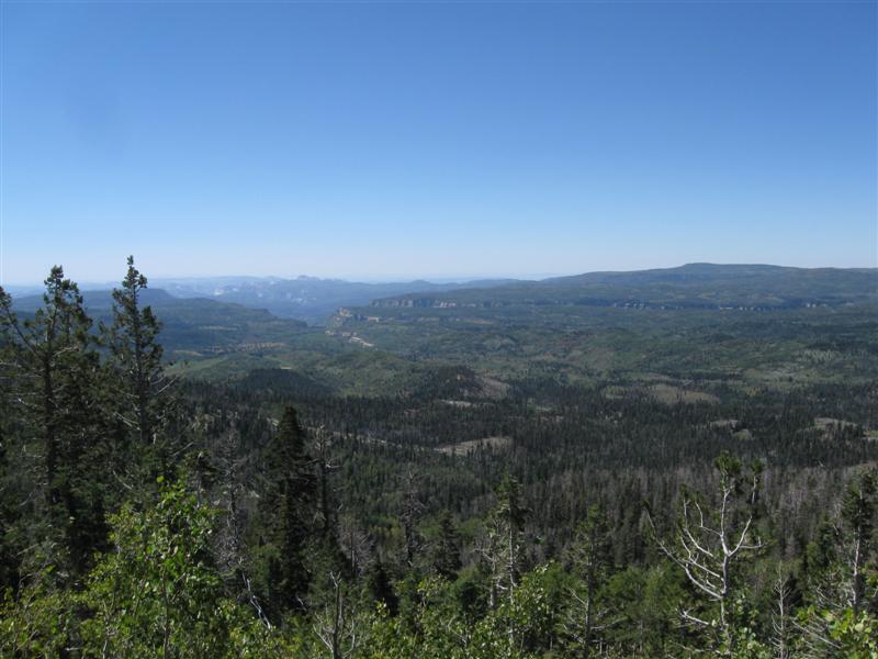
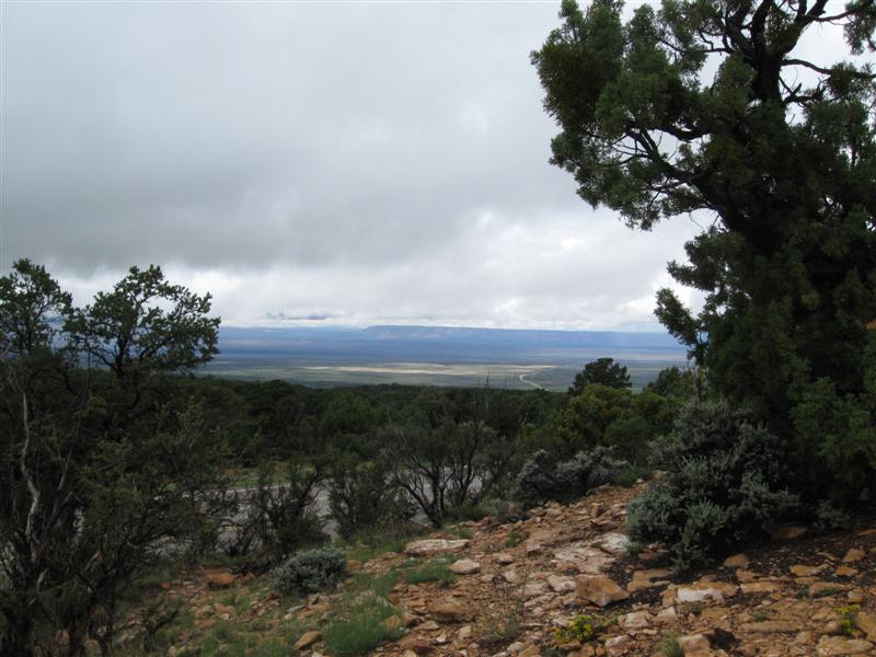
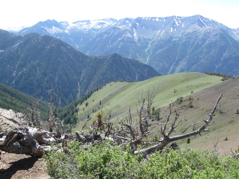
Very nice CG with 90+ sites in 5 loops. Only the A loop is open now with about 35 paved sites. Sites in the other loops are gravel. Many sites in the A loop are very deep for big rigs. However, some very close together. A mix of very sunny sites and very shady ones in the CG. Shade provided by conifers and aspens. Sites farthest back in CG have dense woods behind them. Campground host says you'll see more wildlife there. You'll definitely hear the nearby hwy during the day. Should be somewhat quieter in loops C,D & E, which are further back from the hwy. Free-for-campers dump station. $17. I sure loved my stay on the beautiful Kaibab Plateau. I'd definitely like to go back again. |
|
65 |
9/16/13 |
Boondocking site (USFS) Not a developed campground. From Jacob
Lake, AZ take AZ67 S about 8.7 mi and then turn
W on generally decent dirt/gravel NF212. Site
is 3.6 mi on the left. 8100 ft. Note: NF212 sometimes less than 2 lanes. |
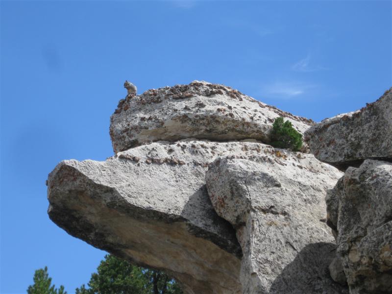
Nice open spot in the forest with plenty of room for more than one vehicle. Fortunately, I'm the only one here (otherwise I wouldn't have picked it). Another night at $0. While here heard coyotes howling several times. On the way out I saw a unique-to-this-area white tailed Kaibab Squirrel and two groups of deer that ran back into the woods as I approached. Yesterday afternoon I drove about 20 miles of dirt roads exploring and looking for boondocking sites (saw plenty). During that time I never saw another vehicle on those roads! A few boondockeers off the road, though. While at my camping site, only one truck passed by on NF212. |
|
|
64 |
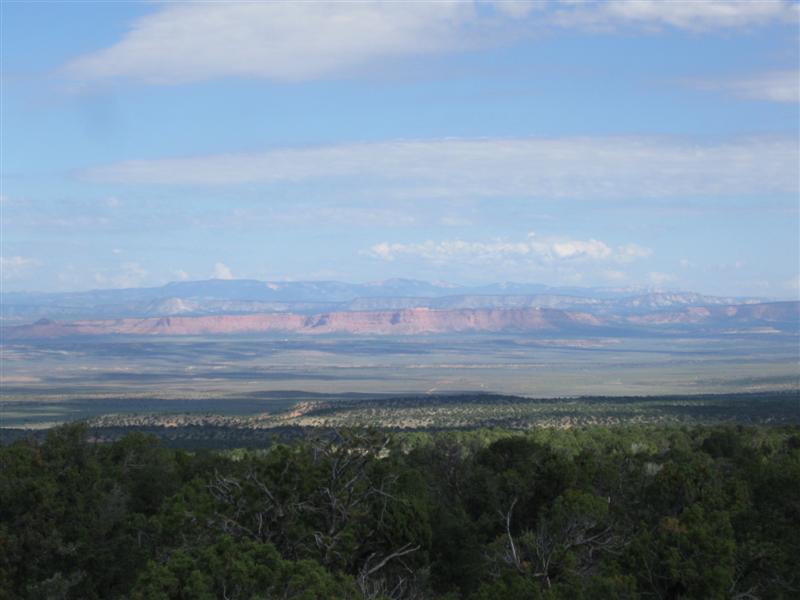
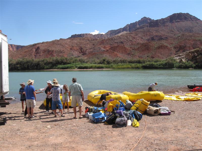
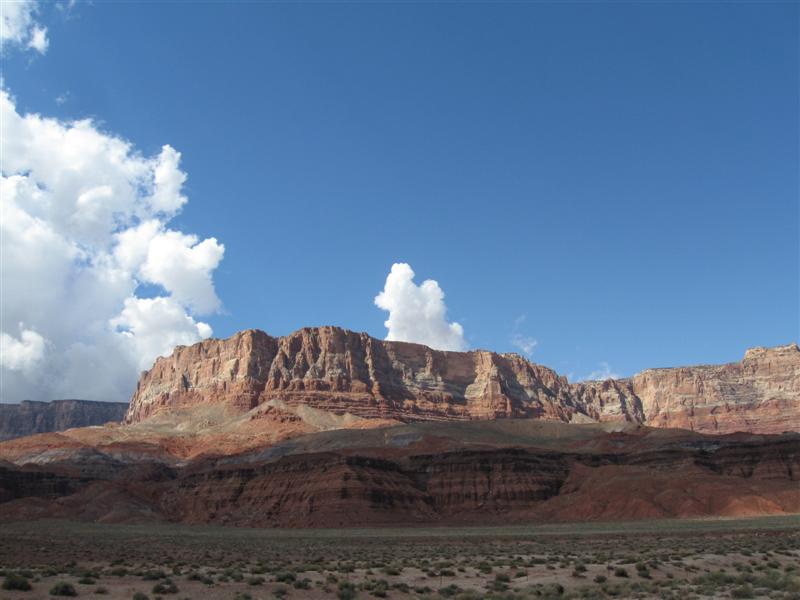
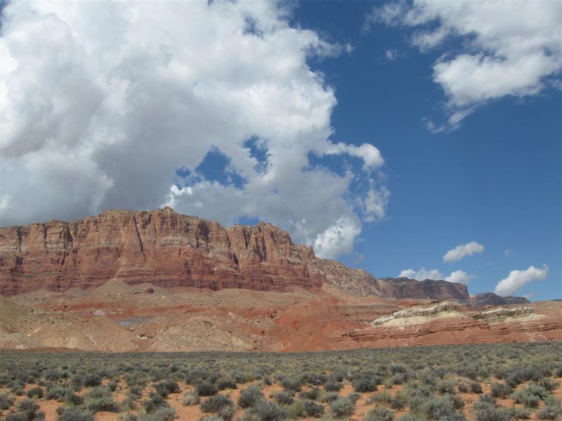
9/15/13 |
Lees Ferry CG (NPS?). About 5 mi NE of Marble
Canyon, AZ on paved Lees Ferry Rd. 3200 ft. |
|
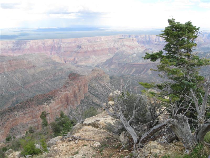
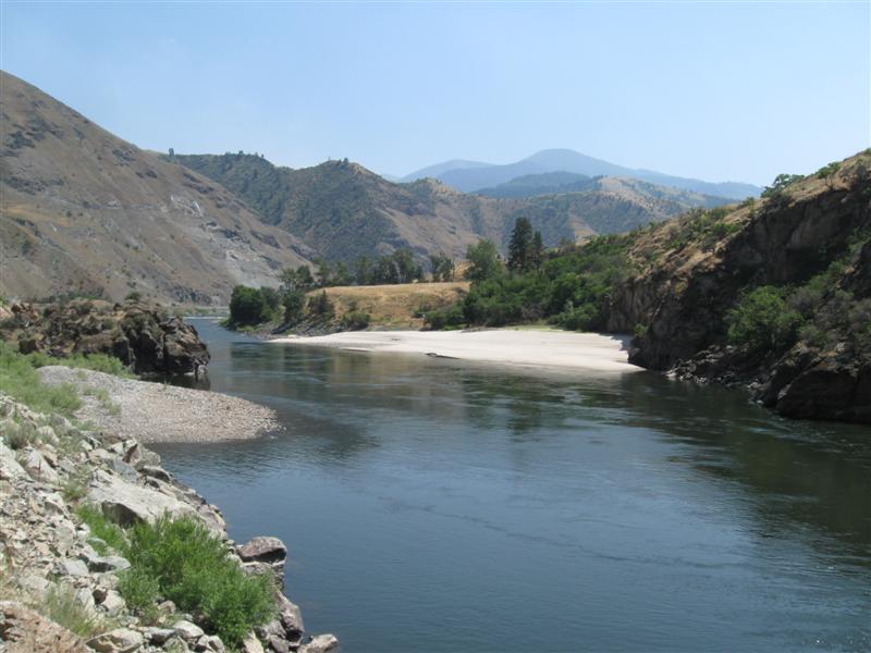
54 gravel sites on sloping land, with decent spacing. However, little privacy since no low vegetation. Only shade will come from some spotty, small trees and shade structures. Beautiful red rock bluffs all around. Colorado River views from lower end of CG. Flush toilets. $12. I had only intended to come to nearby Marble Canyon, AZ for the afternoon and return to Jacob Lake for camping that night. However, I saw a sign to Lees Ferry and checked it out. Turns out this campground was there, so I decided to stay. What a change in environment: From 8K feet to 3K feet and from pine trees to desert and red rocks. 36F previous night near Jacob Lake and about 60F here. |
|
63 |
9/14/13 |
Boondocking site (USFS) Not a developed campground. North
of the entrance to the North Rim of the Grand Canyon.
From AZ67, about 1/2 mile S of the road to
the De Motte CG, turn W on dirt NF22. In
1/2 mi turn left and you'll find about 4 sites. 8800 ft. |
|
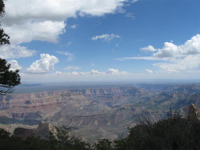
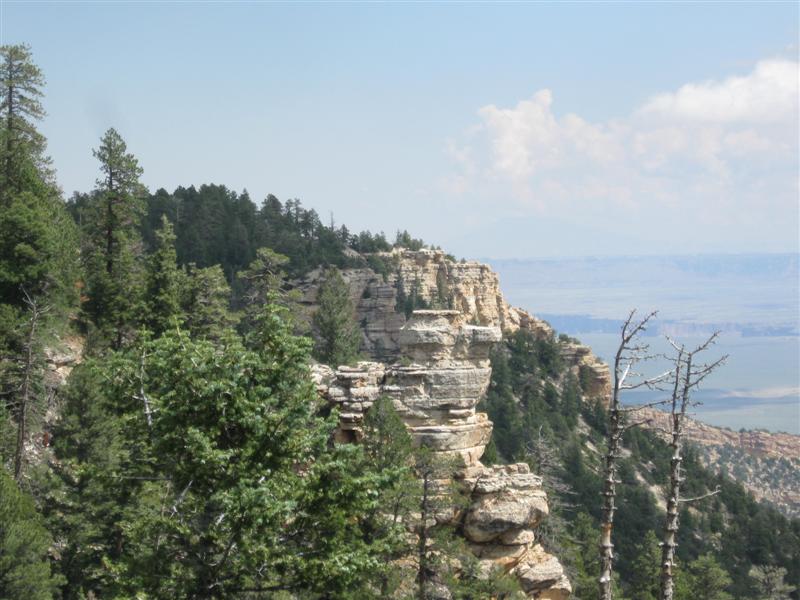
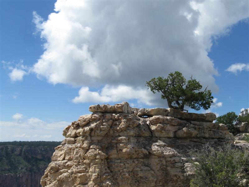
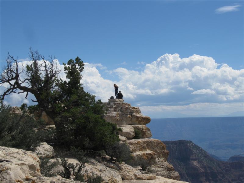
A nice boondocking site, but I'm spoiled by the view of the one yesterday. :) This one is very convenient to the paved hwy, though. Hardly any cars went by on NF22 while I was there. Road off NF22 turns to jeep trail just after the 4 sites. The standard boondocking fee of $0. Today I drove out to Imperial Point, the highest point in the Park at 8803 ft. I think the views from there are more impressive than at the lodge. |
|
62 |
9/12/13- |
Boondocking site (USFS) Not a developed campground. North
of the entrance to the North Rim of the Grand Canyon.
From AZ67, about 1/2 mile S of the road to
the De Motte CG, turn E on NF610 In
about a mile, take NF611. Follow this road
past the East Rim trailhead until you see the small
NF611V road sign on the right. About 6 mi from
AZ67. 8800 ft. My highest campground this year!! |
|
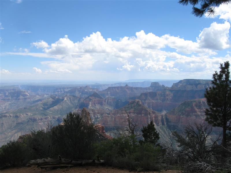
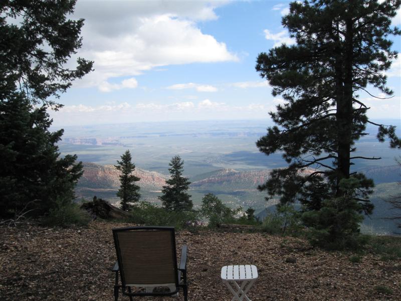
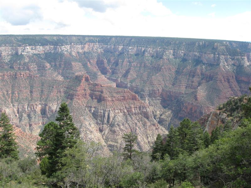
Wow, what a boondocking spot!! Got a 10 million dollar view (inflation you know). I'm parked about 30 feet from the east edge of the Kaibab Plateau. It drops off fast here. I'm guessing I can see 30 or more miles. The Colorado River carved Marble Canyon is about 10 miles away. Room for one other camper nearby, but I'm the only one here. Other spots along the same road. I was talking to a guy in the parking lot at the North Rim and he told me about this area. Can't beat the price at $0. Visted the North Rim today. Plenty of great views! Took the 1/2 mile Bright Angel Point walk. |
|
61 |
9/11/13 |
Jacob Lake CG (USFS). 37 mi SE of Kanab, UT
on US89-Alt. 7700 ft.. |
Very nice CG with 51 gravel sites on level land. Two loops; one first-come and the other reservable. Lots of tall pines, but not very dense. Reservable loop seems to have more shade. Right beside the hwy, with quite a few trucks passing. Quiet at night, though. Low of 41 F at night. $18. It was interesting how much the terrain and scenery changed in just 15-20 miles of driving from Kanab. From red rocks desert to pine tree forest. |
|
|
60 |
9/10/13 |
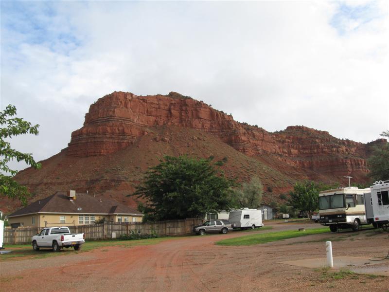
Crazy Horse RV Park in Kanab, UT. 4900 ft. |
|
70+ sites, close together (naturally). I usually avoid commercial RV Parks. However, I wanted to explore the town of Kanab a bit. Lots of interesting old Western movie history here. The surrounding "red rock" country was used for many movies. There are plaques along the sidewalks with the pictures of people who starred in the movies. Being the old geezer I am, I recognized several. I always thought it was "Hi Ho Silver", but the plaque said "Hi Yo Silver". :) |
|
59 |
9/9/13 |
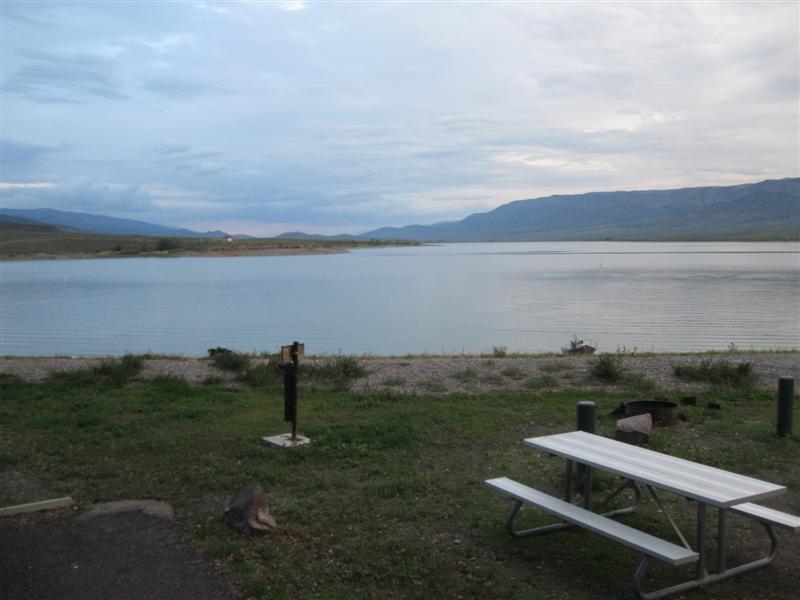
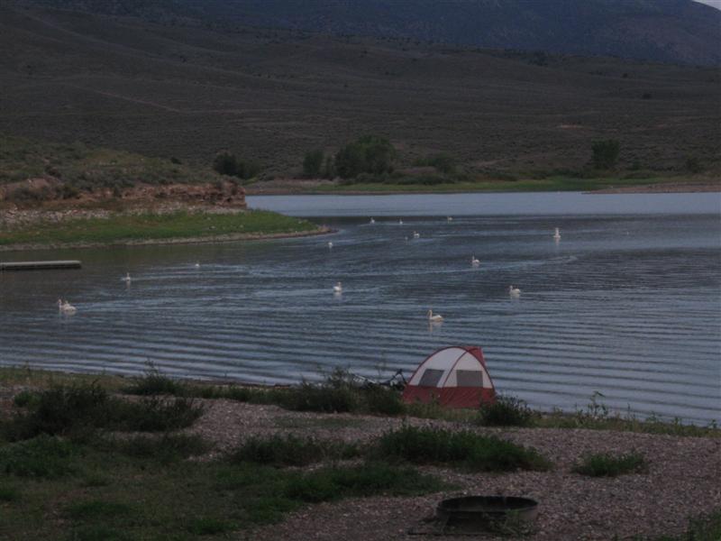
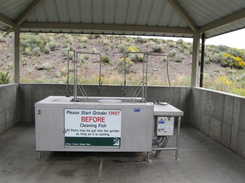
Otter Creek State Park CG. 11 mi E of Kingston,
UT on hwy 62 . 6300 ft. |
|
Nice little State Park CG, with about 50 paved, gravel or grass sites on level land. Beside Otter Creek Reservoir Sites close together. About 15 sites back onto the lake, with nice views. Cottonwood trees provide some shade to mostly lakeside sites. Restroom has showers. Free dump station for campers. People next to me said reservoir has good fishing reputation for rainbow trout. $16. Hadn't planned on staying here, but my first choice didn't appeal to me. Drove a bit farther to here. In doing so, saw some nice rock scenery in Kingston Canyon. |
|
58 |
9/8/13 |
Diamond CG (USFS). 12+ mi S of Springville,
UT via US89, then 5 mi NE on paved Diamond Canyon Rd.
5000 ft. |
|
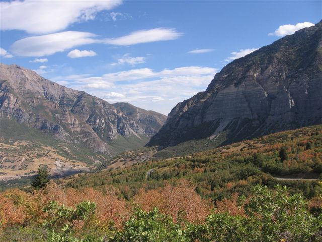
Very nice CG with 61 paved sites on level land in 2 well separated loops. Well developed sites and paved interior road. Loop A (where I am) has plenty of tall cottonwood trees for shade. Loop B has few trees, but gazebos for man-made shade. Sites generally closer together in Loop A than B. Small Diamond Fork River along one side of CG. Well off the hwy, so very quiet here. $18 (highest FS fee since leaving CA this year). This a.m. I continued along hwy 150 towards Provo. This hwy is loaded with USFS CGs and boondocking spots. Normally the scenery would be great, but It was raining all the way down the mountain (bummer, no pictures). I came over the highest pass of the year at 10,700 ft. Near Provo I drove though the beautiful Provo Canyon.. |
|
57 |
9/6/13- |
East Fork Bear River CG (USFS). 29 mi S of
Evanston, WY on hwy 150. 8300 ft.
|
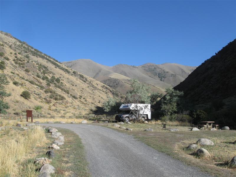
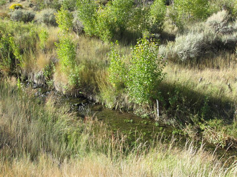
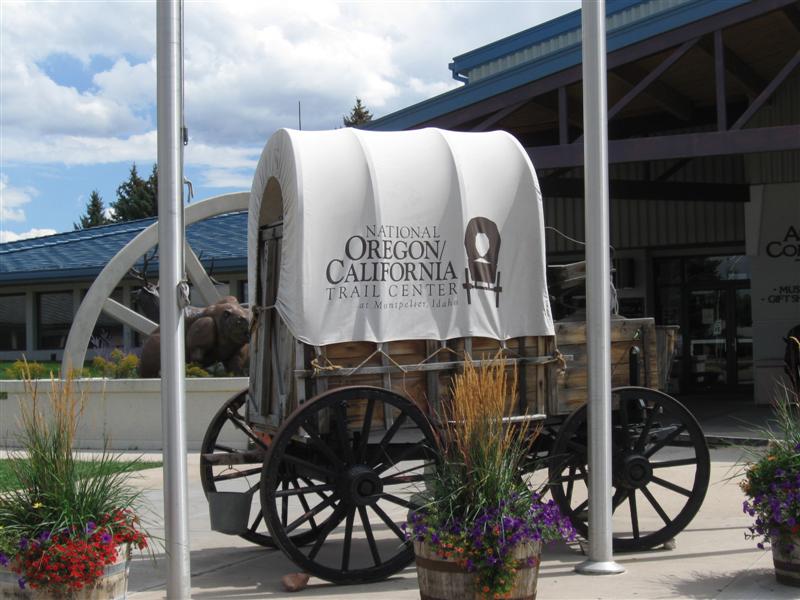
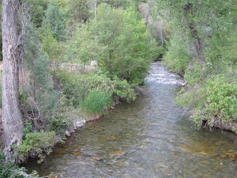
7 gravel sites, in a line, on level land alongside the pretty East Fork Bear River. This is a primarily a "small rig" CG. My 22 ft truck camper just fits in some sites. Also, usually no room for 2 vehicles. Hwy alongside the CG, but it's above the CG 20 ft, or so. This and the river music cuts down on the noise. Thanks to a lady in the CG who told me about the primo site - #1. Great river view and very private. No CG traffic will drive by it. If you come here, get it! $6 (off season). Made a quick visit to the Oregon-California Trail Center in Montpelier, ID. Was there in 2010, also. Worth a stop, plus they have a free dump & water station. Today I was in 3 states during 140 miles of driving: ID->UT->WY->UT. |
|
|
56 |
9/5/13 |
Emigration CG (USFS). 29+ mi NE of Preston,
ID on hwy 34 and hwy 36. 7200 ft. |
25 paved sites, in 2 loops, on sloping land in a mix of conifers and aspens (no color yet). Medium busy hwy near the CG, with mostly daytime noise. Flush and vault toilets. $12. Drove 220 mi today. Waaay more than my usual. Very nice farming scenery along hwy 36 coming into the mountains from Preston, ID. |
|
|
55 |
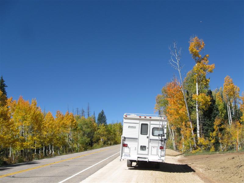
9/3/13- |
Stoddard Creek CG (USFS). 12 mi S of MT/ID
line on I15 then 1 mi W on campground road. 6300
ft. |
Very nice CG in a heavily wooded area. 24 gravel sites (including 1 group and some doubles), split between 2 levels. Well developed sites, with parking, eating and tent areas nice and level and boxed in with wood. I'm on the "hilltop" level. Many sites very long for large rigs. Very handy to I15 with only very slight truck noise. Was here in 2010. $10. Lots of rain the first night. Most I've had on this trip, by far. Kept me awake beating down on my aluminum roof. Yawn! |
|
|
|
8/20/13- |
Spent 2 weeks at my cousin's in Dillon, MT.
Time to ramble again! |
Had a fun 2 weeks visiting and fishing. Had one outstanding fishing day, one OK day and the rest flops. Unfortunately, our annual guided float trip on the Beaverhead River was a flop. Very unusual. Oh well, that's why they call it fishing and not catching. Not as clear skies as usual, due to fires in MT and ID. Also hotter than usual. |
|
|
54 |
8/19/13 |
Ennis Fishing Access CG (State). On Madison River and MT287 just outside
Ennis, MT. 5000 ft. |
About 15 dirt/gravel sites, on level land, alongside the Madison River. Somewhat primitive CG, but does have picnic tables. Some sites have good shade at various times of day. Lots of activity at the boat ramp, as fishermen end their float trips. The small town of Ennis is just across the river. Convenient for eating out. $7 w/MT fishing license, $12 w/o. |
|
|
53 |
8/18/13 |
Palisades CG (BLM). 25+ mi S of Ennis, MT on
US287, then 1 mi W on paved, then gravel, road. 5600
ft. |
|
11 well developed gravel sites, far apart, on level land. Bring your own shade, cause zippo here. Most sites very close to the Madison River. Far enough from hwy for no noise. "Buffalo Jump" type cliffs across river. Be a very nice CG in 75F weather (vs. about 90). $8. Spent about 3 hours fly fishing the Madison, over the last 2 days, with only a 7 inch brown trout caught. However, fished here the morning I left and hooked into a nice 15 incher. It spit the hook after about a minute, but that's better than no hits. :). Many boats floated by with fishermen (OK, OK, saw some women, too). |
|
52 |
8/16/13- |
Madison CG (USFS). 34 mi S of Ennis, MT on
US287, then across river and 1+ mi S on dirt road. 6000
ft. |
|
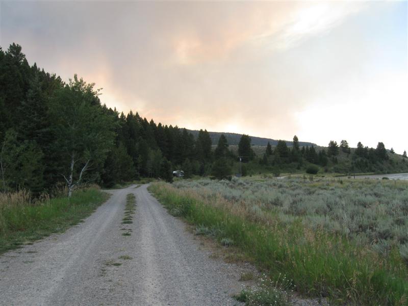
10 gravel sites, in a line, well apart. All sites should have shade by late afternoon, due to steep hillside just behind sites. Famous-for-fishing Madison River on the other side of the dirt access road, within walking distance. Hwy across river a bit noisy. Was here in 2010. $12. On the way here, I visited the Harriman State Park, near Island Park, ID (last 3 pics from there). As I got closer to this CG, a very large cloud of smoke was rising from the mountains. Smoke at CG got worse by 2nd day. |
|
51 |
8/15/13 |
Riverside CG (USFS). 15 mi N of Ashton, ID
on US20, then 1+ mi E on paved (but potholed) Forest Rd. 6100 ft.
|
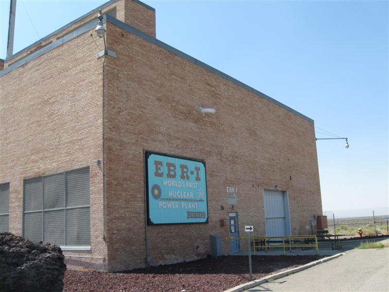
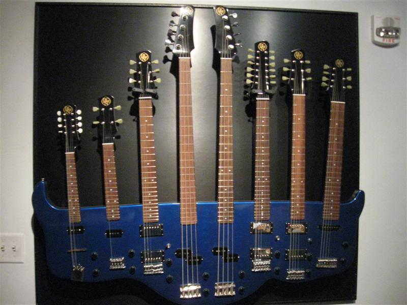
57 sites (some gravel, some paved) in 3 loops. Loop "A" has sites on the beautiful Henry's Fork River, with limited shade. B & C loops have more shade (C the most). Far enough from hwy so no noise. Was here in 2010. $12. Due to very smoky skies, I abandoned my route to MT via Challis and Salmon and backtracked to where I'd been the day before. On the way to Idaho Falls, I visited the EBR-1 Atomic Museum. EBR-1 was the first electricity generating nuclear reactor. In Idaho Falls, I visted the Museum Of Idaho with a large guitar exhibit. Having been a picker since I was kid, it was very interesting. |
|
|
50 |
8/14/13 |
Craters of the Moon National Monument
CG. 85 mi W of Idaho Falls,
ID on US20 . 5800 ft. |
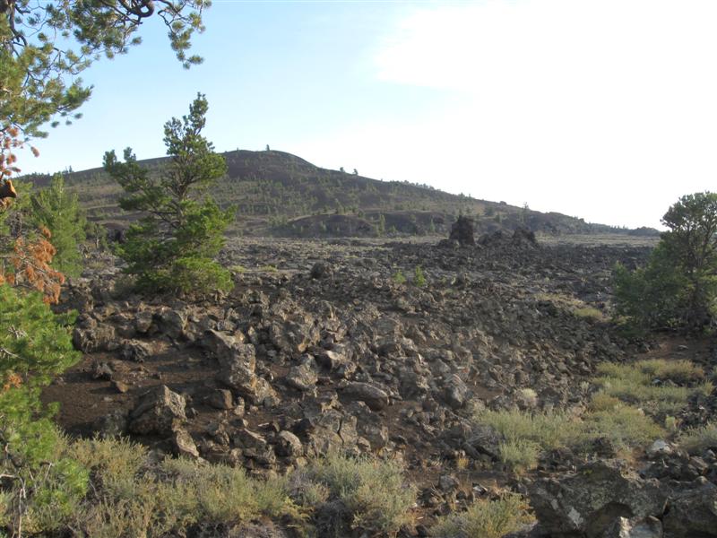
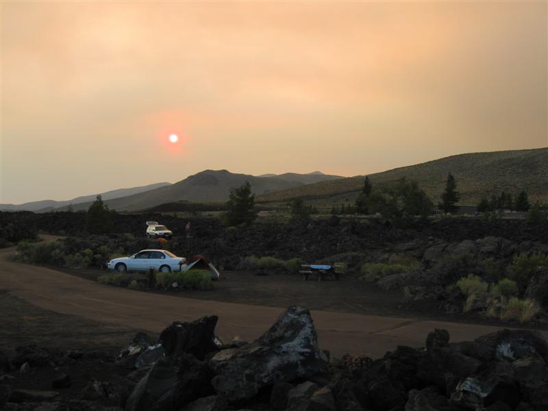
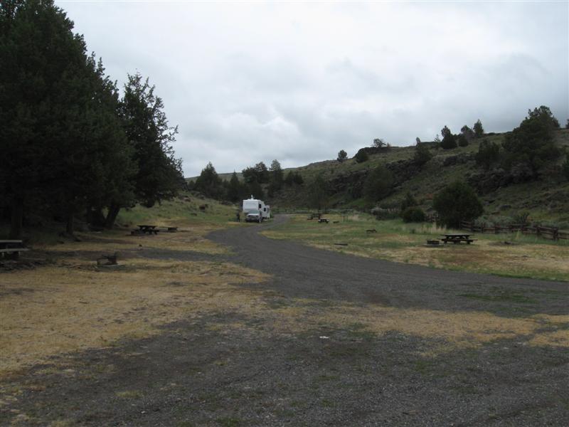
About the most bizzare CG environment you'll find! A geologist's heaven. 51 gravel sites, usually close together, among volcanic spewings. Almost no shade. Was here in 2006 when it was still $10. I drove the 7 mi loop road when I left the next morning. Unfortunately, the skies were very smoky from wildfires to the N, so the views weren't the greatest. :( |
|
|
49 |
8/12/13- |
Palisades Creek CG (USFS). 7+ mi SE of Swan
Valley, ID on US26, then 2+ mi NE on good gravel
Palisades Creek Rd. 5300 ft. |
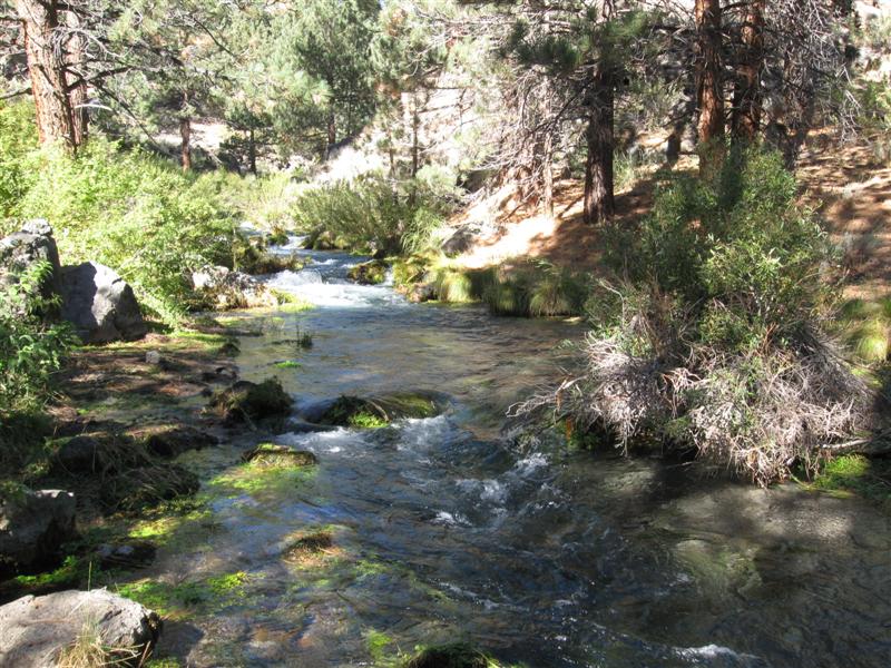
Really nice, small CG. In a canyon and well away from the hwy. 8 gravel sites (incl. 1 for host and 2 doubles) on level land, with a small creek alongside. Well developed sites, with sand tent pads, metal mesh picnic tables, fire pit and BBQ stand. At the end of the road, so very quiet at night. Large parking area for horse trailers near CG. Several hiking trails in the area, with a trailhead for a creek trail a few hundred yards from CG. I like this place, so I stayed 2 nights. :) $12. I walked a few hundred yards up the creek trail. If I was a hiker, I'd try to make the small lake 4 miles up the trail. :) |
|
|
48 |
8/9/13- |
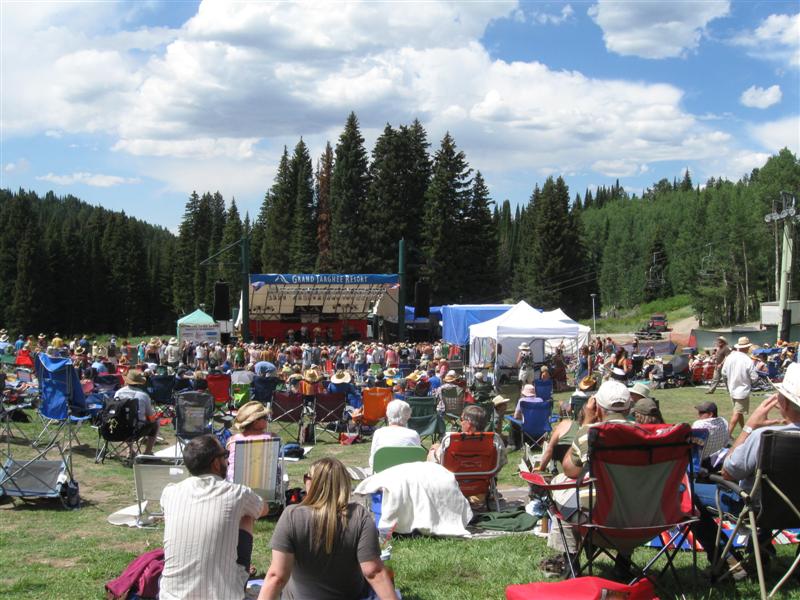
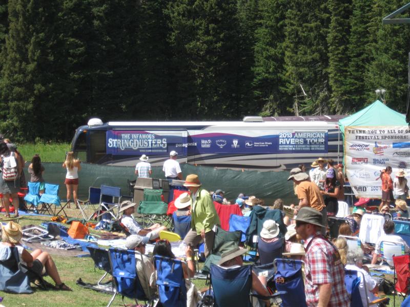
Grand
Targhee Bluegrass Festival @ Grand Targhee
Ski Resort. 12 mi NE of Driggs, ID on Ski Hill
Rd. 7800 ft. |
|
Heard lots of great music, from bands I'd heard of and some I hadn't. I don't like the "packed together" camping that usually goes with a festival, but did end up with a nice couple from Colorado next to me I chatted with. Some nearby "party animals" were at it until around 4 a.m. on Saturday night. As a result, I didn't sleep well and was slow "getting with it" Sunday morning. :) Weather was great. Three years ago it got down to freezing 2 of 3 nights. This year I doubt it got below 45F at night. |
|
47 |
8/8/13 |
Teton Canyon CG (USFS). 6 mi NE of Driggs,
ID on Ski Hill Rd, then 5 mi E on bumpy, washboarded
gravel Teton Canyon
Rd. 7200 ft. |
Very nice 20 site CG in a beautiful canyon setting. A few sites with 100% shade, due to a very thick stand of tall trees, and others with little shade. Popular hiking trailhead across the road. Two small creeks nearby. About 3 crow-miles from the western edge of Grand Teton National Park. Was here in 2010 in the same site (when it was $10). $12. |
|
|
46 |
8/6/13- |
Boondocking site (USFS) Not a developed campground. About
1/2 mi S of the Island Park Reservoir Dam in Idaho. 6200
ft. |
|
Great boondocking site, not far from a paved road. On a bluff about 50 feet above the Henry Fork River. The Buffalo River, which flows into the Henry Fork just downstream, is only about 100 yards away. You can easily walk to the boat launch upstream and watch the activity. Found this site in 2010. $0. Only my 2nd time boondocking this year. What a wimp! |
|
45 |
8/5/13 |
Lonesomehurst CG (USFS). 7 mi W of West Yellowstone,
MT on US20, then 3.5 N on Denny Creek Rd (paved, except
for last mile with washboard gravel). 6700 ft. |
|
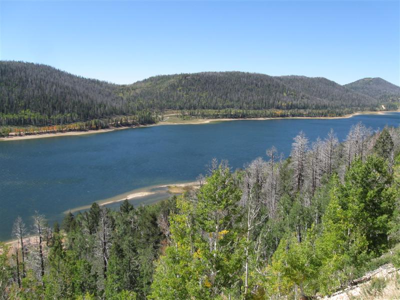
27 gravel sites, rather close together, on level land. Sparse or no trees at many sites. On an arm of the beautiful Hebgen Lake. About 10 sites are "lakeside", some with a spectacular view of the lake (I had one of these in 2010). Still $16. Drove thru the N entrance of Yellowstone today and out the W entrance. Tried Bakers Hole CG close to West Yellowstone, but its 70+ sites were full. I like this CG better, anyway.. |
|
44 |
8/3/13- |
Loch Leven CG (MT Fishing Access Site). About
10 mi S of I90 in Livingston, MT on US89, then
E on Pine Creek Rd and S on River Rd for about 7 mi.
Turn right at Fishing Access sign and go about
1 mi. 4700 ft. |
|
7 gravel or grass sites with tables and firepits, plus additional room for other camping in the grass. On the banks of the famous, and beautiful, Yellowstone River. About 5 sites on the river bank, with varying river views due to trees and bushes. Plenty of traffic floats by for your viewing pleasure (and jealousy). Busy US89 is across the river, so noise is mainly a "hum". Boat launch in CG. $7 w/MT fishing license, $12 w/o. Tried some wade fishing, but rocks too slippery for me. Gave it up before I got wet. |
|
43 |
8/2/13 |
Aspen CG (USFS). 54 mi SE of Great Falls, MT
on US89. 5100 ft. |
6 gravel sites in a canyon setting. US89 only a stone's throw away from the sites, so expect daytime noise. Not bad at night, though. Small stream across hwy. Tree & bush covered hill just behind sites. $10. Two nearby FS CGs are also on the hwy, but have more sites, with some set back from the hwy. Many Pines is about 8 mi S and Kings Hill is 14 mi S. I would choose these over Aspen, but I came to Aspen first, and was ready to stop. |
|
|
42 |
8/1/13 |
Eureka Reservoir CG (MT Fishing Access Site). 5
mi NW of Choteau, MT on US89, then about 3 mi NW on
paved Teton Canyon Rd. 4100 ft. |
|
Very primitive CG with 8 gravel/dirt sites alongside the "not nearly full" reservoir. Zippo shade. (Note: Most come to these FAS sites to fish, not for the CG amentities.) On a clear day, which it wasn't, there would be a great view of the Rocky Mountain "Front" across the water. $7 w/MT fishing license, $12 w/o. Rained quite a bit at night. First I remember in a while. |
|
41 |
7/31/13 |
Rising Sun CG - Glacier National Park, MT. 6
mi inside the St. Mary entrance. 4500 ft. |
|
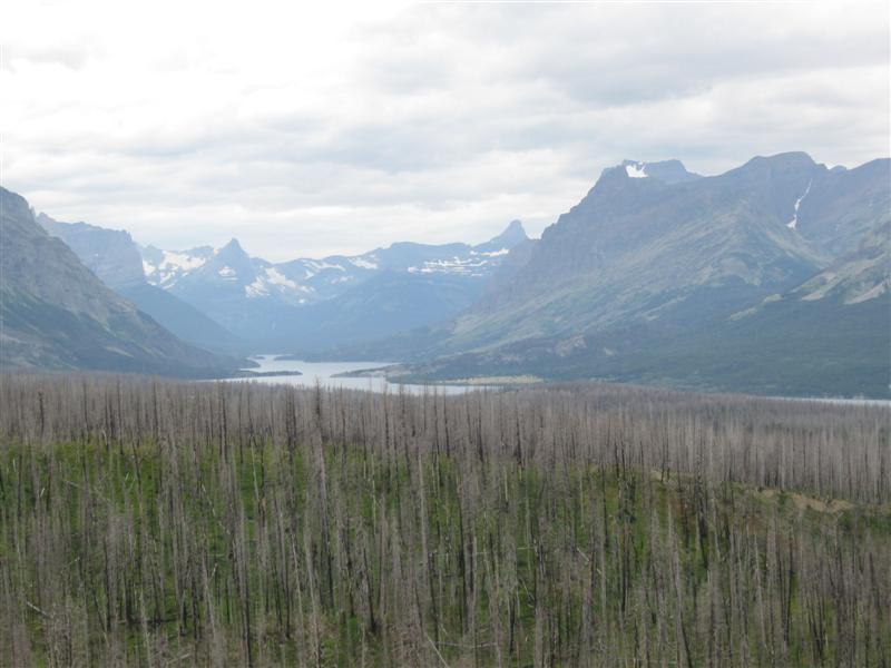
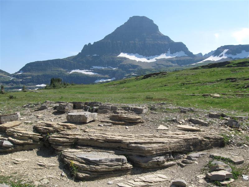
85 paved, but lumpy, sites. Typical pack-em-in NP site spacing. RVs will need some leveling blocks, but most here are tenters. St. Mary Lake the other side of the road. Shuttle bus stops at the store next to the CG. This is the farthest that vehicles over 21 ft (that's me) can drive into the park from this side. $20. St. Mary Lake CG was already filled when I drove by, but I lucked out and got one of the last sites here at 11:30. When I deposited my money, a nearby ranger said the place had just filled! Took the shuttle bus to Logan Pass and enjoyed the incredible views. No new mountains since I was here in 2007. :) |
|
40 |
7/30/13 |
Summit CG (USFS). 43+ mi SE of West Glacier,
MT on US2. 5200 ft. |
|
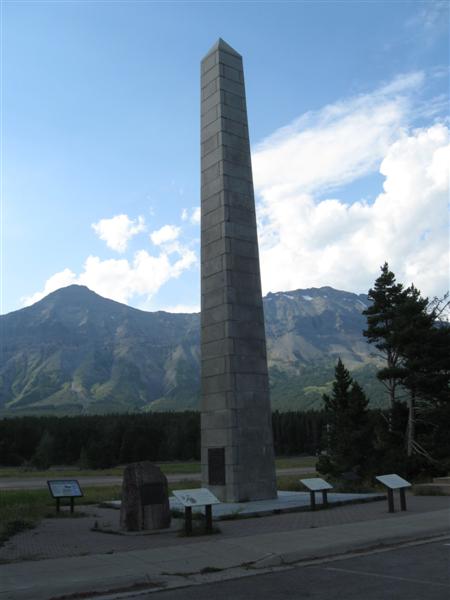
17 paved sites on slighty sloped land, well apart. Plenty of trees and low vegetation. Like the nearby 7/26/13 CG, there is hwy and train noise, but it didn't seem quite as bad here. YMMV. Sixty foot tall monument, built in 1931, in honor of forest conservation oriented President Theodore Roosevelt within walking distance. This CG is basically on the Continental Divide at Marias Pass. $10. |
|
39 |
7/27/13- |
Big Creek CG (USFS). 20
mi N of Columbia Falls, MT on North Fork Rd (some gravel). Very
heavy washboarding on some parts of the gravel road. 3200 ft. |
|
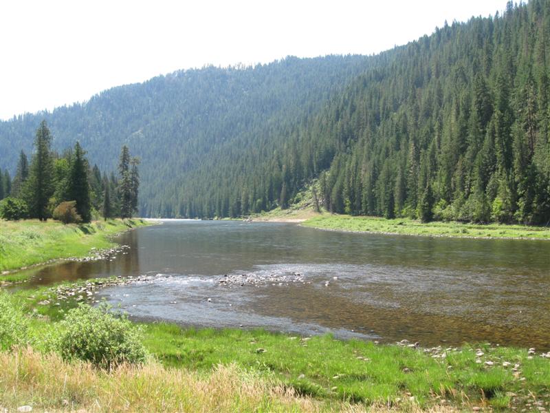
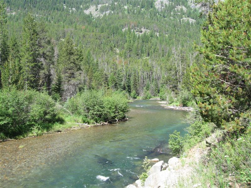
Very remote CG wiith 22 gravel sites on level land, well apart, with additional group sites. All sites have significant shade, due to a dense grove of trees. The beautiful North Fork Flathead River is alongside the CG. Many sites are on the river, but about a 50 yard walk over river rocks to get to it. The steep hill across the river is Glacier National Park. $13. Before coming here, I visited the west side of Glacier NP for the afternoon. Very beautiful. At this CG I finally caught some fish, so I stayed longer than my usual one-night stop. |
|
38 |
7/26/13 |
Devil Creek CG (USFS). 36 mi SE of West Glacier,
MT on US2. 4300 ft. |
|
13 paved sites on level land, well apart. Moderate shade, except some sites (mine included) are near an area where most of the trees have been cut down. Very convenient to travelers between East and West Glacier, but also noisy from the adjacent US2 and nearby train track (at least 3 passed during the night I was there). $12. I was very glad to find an empty site when I pulled in at 7 p.m., Had struck out at 3 other FS CGs, all on lakes. Seems the locals were flocking to the water for the weekend after the heat wave. |
|
37 |
7/25/13 |
Russell Gates Memorial CG (Montana State Fishing Access). On
hwy 200, 4 mi E of hwy 83. 4000 ft. |
11 level, gravel sites on the good size Blackfoot River. Minimum shade in most sites. Very close to hwy = noise. Several rafts with fisherman passed by. Was here in Aug '09 in same site! Several different prices, but I got $7 w/MT fishing license. I think it is $14 w/o. I was fishing and got asked for my license by the game warden. Pulled it out of my vest and he said "This is an Idaho license". Oops. Fortunately, he didn't cuff me on the spot and followed me back to my camper to get my MT license. It was still in my wallet after buying it about a week ago. :) |
|
|
36 |
7/24/13 |
Jennings Camp CG (USFS). 10+ mi E of Sula,
MT on paved East Fork Rd. 4800 ft. |
|
Primitive CG with 4 gravel sites on level land. The small and very clear East Fork Bitterroot River alongside. Right by the hwy, but very little traffic. New vault toilet. I have it all to myself! $0. I'd planned on attending a bluegrass festival this weekend near Hamilton. However, the forecast is for "still hot", so I'm reluctantly giving up on the idea. :( I'm now heading toward the east side of Glacier NP for cooler (I hope) weather. |
|
35 |
7/22/13- |
Rombo CG (USFS). 22+ mi SW of Darby, MT via
US93 and paved West Fork Rd. 4500 ft. |
|
16 gravel sites, well apart, on level land in a single loop. Most sites on one side of the loop. Plenty of trees, for at least part time shade for all sites. West Fork Bitterroot River (well known for fishing) along one side of CG. Large Painted Rocks Lake up the road a few miles. $8. Seems to be cooling down a bit, but still too warm for me. Too hot to sit inside the camper in the afternoon and too many flies while sitting outside. Where's an air-conditioned bar? :) |
|
34 |
7/20/13- |
Blodgett CG (USFS). 6 mi W of Hamilton, MT
on Main St., Canyon Creek Rd and Blodgett Camp Rd. 4100 ft. |
|
Neat little 7 site (5 for RVs) CG in a beautiful setting. All but one RV site paved. One walk-in tent site in the trees, well away from the others. Mid-day very sunny for most sites, but tall trees end it in late afternoon. Small creek at entrance to CG. Impressive rock bluffs nearly surround the place. Road ends at CG, so very quiet here. Quite a deal at $0. I finished my domestic duties (laundry, groceries, etc.) in Hamilton about 6 p.m. and checked my camping book for spots nearby. Saw this one only 5 miles away. With only 7 sites and it being Saturday I thought it was a slim chance, but tried it anyway. Sure glad I did, as there was one site open and the place is free! |
|
33 |
7/19/13 |
Lee Creek CG (USFS). 26+ mi W of Lolo, MT on
US12. 4100 ft. |
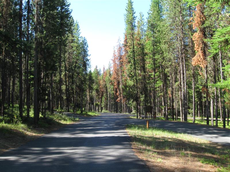
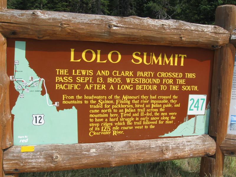
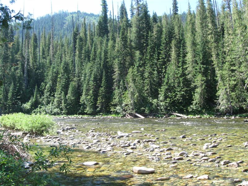
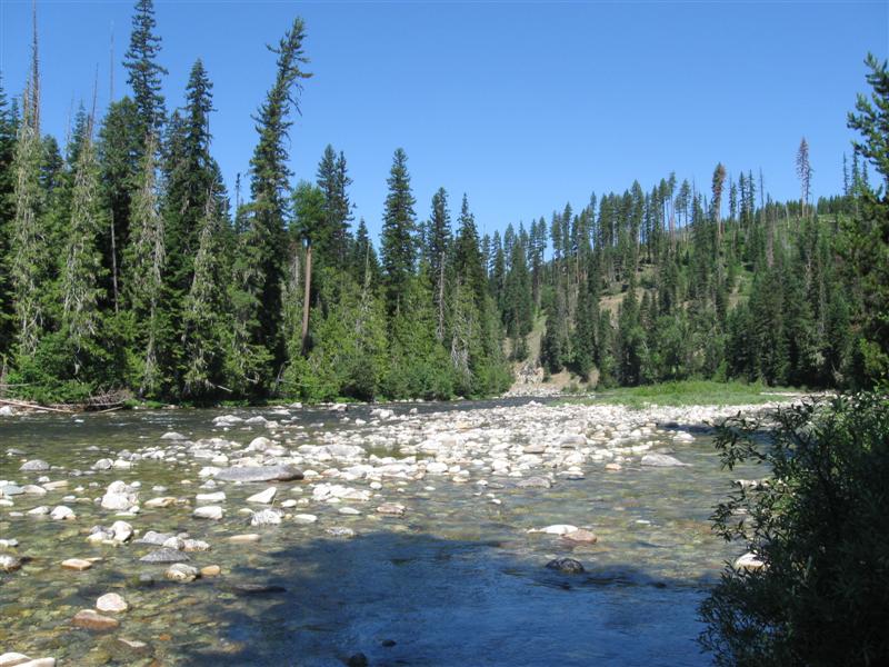
Nice CG with 22 paved sites on sloping land. Sites split between 2 levels, but most on the top level. A thick stand of tall, skinny pines trees provide filtered shade. Right next to US12, but the top level sites are set back from the hwy far enough that the noise isn't as bad as I expected. $10 Crossed over the top of Lolo Pass today into Montana (earlier than planned). If you've never traveled the Lolo Pass hwy (US12) between ID and MT, I highly recommend it. Beautiful drive. Also, be sure and stop at the very nice USFS Visitor Center near the top, on the Idaho side. At the CG I talked to a couple of retired guys in their 60s that were riding their bicyles from the West Coast to the East Coast! Said it would take about 70 days. Yikes! Gave them a couple of cold beers for extra energy. :) |
|
|
32 |
7/17/13- |
White Sand CG (USFS). 67 mi NE of Lowell, ID on US12
(Lolo Pass Hwy), then 1 mi
S on good dirt road. 3500 ft. |
Nice secluded 7 site CG on the upper (and smaller) section of the Lochsa River. Dirt sites.
Small stocked fishing
pond beside CG. Nice and peaceful here. Was here in
both '09 and '11. Still $8, but sign on entrance
board says $15 proposed for next year. Hmmm, I'm seeing
a not-so-good trend here (see below CG).
The heat (up to 100 predicted) caused me to alter my intended route through the Idaho Panhandle and seek out a higher elevation CG. Cooler here, but still too hot! |
|
|
31 |
7/15/13- |
Johnson Bar CG (USFS). 4 mi SE of Lowell, ID on Selway Rd. 1600
ft. |
|
7 site CG with gravel sites on the Selway River. 50 yards of rocks before you get to the water. Scattered trees, so lots of sun. Group CG in a field nearby. Was here in '09 in same site! Still $6 (but sign on entrance board says $12 proposed for next year). |
|
30 |
7/14/13 |
Castle Creek (USFS). 25 mi SE of Grangeville,
ID on hwy 13 and hwy 14 (both very curvy). 2000 ft.
Note: GPS suggested shorter route via Mt. Idaho Grade Rd, from Grangeville, but I didn't try it. |
|
9 paved sites on level land, alongside the lazy (at this location) North Fork Clearwater River. CG split into 2 parts, with separate entry road for each. Some sites very shady, but a couple are full sun. Right alongside Hwy 41, with a lot more traffic than I expected here in the boonies. Where the heck are they going??? $8. Caught five small trout (4 inchers) in about 30 minutes with a spinning rod and small lure. Wish momma or poppa had been interested. Getting hotter here in Idaho. @#$%^& |
|
29 |
7/13/13 |
Evergreen CG (USFS) 16+ mi N of Council, ID
on US95. 3700 ft.
|
12 sites (a mix of paved and gravel) on sloping land. A few sites tent-only. Shade varies greatly among sites. Right alongside US95, so a bit noisy until very late at night. Best for just a one night stop, vs. multiple days. $10. |
|
|
28 |
7/12/13 |
Brownlee CG (USFS). 16+ mi NW on hwy 71 from
Cambridge, ID, then 1+ mi NE on 1 lane gravel
road. 4300 ft.
|
|
11 gravel sites on sloping land, in a narrow canyon. Good privacy due to site spacing and dense, low vegetation. Road thru CG goes slightly uphill with a tight turn around at the top. Many sites will need leveling blocks for an RV. Lots of shade, due to narrow canyon, tall conifer trees and medium leafy trees. Very small creek alongside CG. $10. Interesting trip between sites today. Started at 3600 ft in Oregon; climbed up to 5500 ft for impressive Hells Canyon Overlook; essentially coasted down to Oxbow on the Snake River at 1200 ft; crossed Snake into Idaho and climbed back to 4200 ft for this CG. |
|
27 |
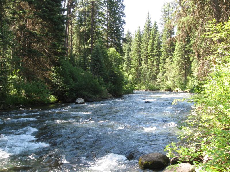
7/11/13 |
Blackhorse CG (USFS). 37 mi SE of Joseph, OR
on hwy 350 and Wallowa Mtn Loop Road (NF39). 3600 ft.
|
15 dirt sites, well apart, on level land in a canyon. Fast flowing Imnaha River alongside CG. All sites close to, but not right on, river. Early and late shade for all sites due to canyon setting and dense, tall trees. $8. |
|
|
26 |
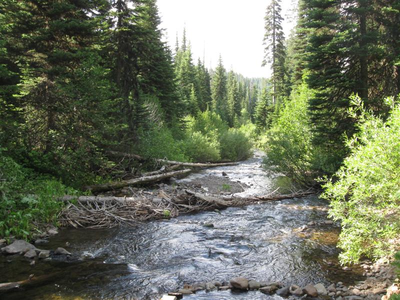
7/10/13 |
Lick Creek CG (USFS). 23 mi SE of Joseph, OR
on hwy 350 and Wallowa Mtn Loop Road (NF39). 5400 ft.
|
Nice, small CG with 9 gravel sites, well apart, on level ground. Pretty little creek right alongside most sites. Most sites will be sunny until late afternoon. Road that runs through CG continues on to some boarded-up FS buildings and a nice meadow. This CG was heaven compared to the crowded State Park (YMMV). :) $6. |
|
|
25 |
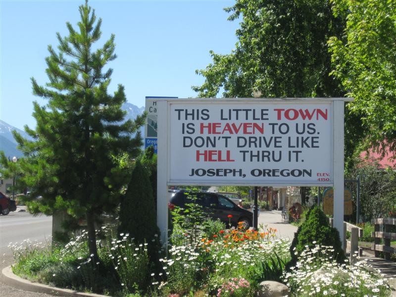
7/8/13- |
Wallowa Lake State Park. 6 mi S of Joseph,
OR on hwy 351. 4700 ft.
|
|
Mega CG with about 120 hookup sites and 90 "tent" sites (no hookup), in 5 loops on level land. Some loops very shady, others more sunny. Located between the S end of beautiful Wallowa Lake (3+ miles long) and 8000+ foot mountains. Nearby town of Joseph has plenty of places to eat and shop. Not really my preference for a CG - too crowded and busy. However, was the best choice to see the area. $20 (no hookups). I took the Wallowa Lake Tramway to the 8000+ foot top and walked some of the trails. Great scenery from way up high! |
|
24 |
7/7/13 |
Williamson CG (USFS). About 11 mi S of Lostine,
OR on paved Lostine River Rd (last few miles are good gravel).
4700 ft.
|
|
About 8 gravel sites on very sloped land in a narrow canyon. Picnic tables may be a ways from the built-up gravel "island" pad and down the slope. Small, clear and fast flowing Lostine River alongside CG. However, not visible from most sites and not easy to get to, due to heavy woods and brush. Nice river access near the entrance to the CG, though. Very pretty drive up the canyon to get to the CG. More CGs up the road, but it turns into a single lane shortly after this CG. $6 |
|
23 |
7/6/13 |
Minam State Park. About 13 mi W of Wallowa,
OR on hwy 82, then 2 mi N on sometimes-narrow gravel
road. Turn off 82 at State Park sign. 2300 ft.
|
|
22 sites on level land, some tent-only. RV sites are paved. Widely spaced trees provide spotty shade. Woodsy hill on one side of the CG and the nice and wide Wallowa river on the other. Easy trail to the river. Many of the RV sites were taken when I arrived Saturday afternoon, but I was the last to leave on Sunday around noon. Guess that's cause I don't have to work. :) $9. |
|
22 |
7/2/13- |
North Fork John Day CG (USFS). 25 mi N of Sumpter,
OR on hwy 220 (aka CR24 & FR 73). 5200 ft.
|
|
13 gravel sites, plus some walk-in tent sites and a group site, on level land. Lots of medium sized trees, but some sites get a lot of sun. Next to the very clear North Fork John Day River (designated Wild & Scenic). Trail into the wilderness starts at CG. Was here in Sep '11, when it was a lot cooler and less water in the river. $8. On Wednesday the heat wave finally broke. The inside of my camper only got up to 90F (vs. 100+). Was on the verge of renting a motel room for the night. :) Friday night low was 29F! |
|
21 |
7/1/13 |
Little Crane Creek CG (USFS). 30+ mi SE of
Prairie City, OR on CR62 and FR16. 5400 ft. |
About 5 gravel sites on level land, only designated by a picnic table. Small stream runs between the two halves of the CG. The front half has almost no shade, but the back half has one site with significant shade (guess where I was). Road right alongside CG, but not much traffic. Had the place to myself. Vault toilet. $0. Funny story regarding the Roadblock picture. A few hours after I reached my CG, I heard what sounded like dirt bikes or ATVs revving up. They were obviously getting closer, as the sound kept getting louder. When it got really loud I realized it was the cattle bawling! The were traveling down the road right by the CG! :) |
|
|
20 |
6/30/13 |
Wickiup CG (USFS). 17 mi NE of Seneca, OR on
FR16 and FR15. 4300 ft. |
6 gravel sites on level land, in a small canyon. With several trees, this makes for mostly shady sites. Small stream is between CG and hwy. Sites sit at the base of a wooded hill. $6. A baby deer (still with its spots) ran through my site and then up the hill. Didn't see momma or any siblings. Hope it wasn't an orphan. And the heat continues!! |
|
|
19 |
6/29/13 |
Idlewild CG (USFS). 17 mi N of Burns, OR on
US395. 5200 ft. |
23 paved sites on 2 levels. A nice meadow is between US395 and the lower level sites. Upper level is farther away from US395. Minimal noise from hwy. Plenty of trees, but lower level sites appear to have more consistent shade. Large pavilion for day use on the lower level. No trash service. $10. |
|
|
18 |
6/28/13 |
Jackman Park CG (BLM). 18+ miles SE of
Frenchglen, OR (which is 61 mi S of Burns) on Steens
Mtn Loop Rd. 7600 ft. |
|
Primitive CG with 6 unlevel gravel sites. Lots of aspen trees, but sites still very sunny. A variety of interesting vegetation. I preferred this over nearby Fish Lake CG (YMMV). $6 Drove the Steens Loop Road all the way to the peak (9500 ft). Rd was closed at that point to continue S. Sure glad I came up to the Steens, as the views are super impressive! Steep drop off to the E and sloping to the W. If you're in this area, I highly recommend the drive. |
|
17 |
6/27/13 |
Page Springs CG (BLM). About 3 miles SE of
Frenchglen, OR (which is 61 mi S of Burns) on Steens
Mtn Loop Rd. 4100 ft. |
|
31 gravel sites on level land. Most sites are surrounded by grass. Shade varies with site, from "a lot" to "not much". Small Donner und Blitzen River (named by Santa?) near CG . One of the nicest BLM CGs I've been in, even with the mosquitoes. $8 When I passed through Burns to get here, it was 92F. This makes for a camper that is around 100F inside and takes a looong time to cool down in the evening. |
|
|
6/26/13 |
Mud Creek CG (USFS). From Lakeview, OR take
US395 N for about 5 miles, then hwy 140 E for 8+ miles,
then left on paved FR3615 for 7 miles. 6400 ft. |
Very primitive CG with about 7 gravel sites. Little shade. Vault toilet. Red clay interior road that would probably be very "sticky" when wet. Pretty ranch across the road when approaching CG. Plenty of mosquitoes to try out my new hand held bug zapper (it works!). $0 Nice view of the valley when going back down to the hwy. |
|
|
15 |
6/25/13 |
Mill Creek Falls CG (USFS). From Likely, CA (on US395) take
CR 64 E for 12+ miles, then right on Mill Creek Falls
Rd for 1+ miles (where road ends). Entire route is paved. 5400 ft. |
[Oops no site pic] |
19 gravel/dirt sites on hilly land in a single loop. You'll probably need leveling blocks. Most sites have at least medium shade. Mill Creek Falls a short walk (less than 1/2 mile, but partly up hill). Hiking trail into South Warner Wilderness (and falls) starts from CG. Only 3 other sites occupied. $12. Rained a lot the day I arrived, so I stayed in my camper. Fortunately, the sun returned the day I left and I took the short hike to the falls. Glad I did (see pics). |
|
14 |
6/24/13 |
Blue Lake CG (USFS). From Likely, CA (on US395) take
CR 64 for 9+ miles E, then right on CR 258 for 6+ miles,
then right at campground sign. CG about 1.5 miles
further, with last 1 mile single lane with turnouts.
Entire route is paved. 6000 ft. |
|
47 gravel/dirt sites on a hillside above a nice lake. Plenty of tall, conifer type trees for shade. A loop road encircles the CG. However, other roads run within the loop to access other campsites. Somewhat confusing on a first visit, but YMMV. Some sites have a "tree filtered" view of the lake, but many don't have any view. Short walk to the lake, however. Lake trail and boat launch available. $16. Quite a bit of rain at night that continued to the next morning. Consequently, didn't get to explore the lake trail. :( |
|
13 |
6/23/13 |
Ramhorn Springs CG (BLM). 60 mi S of Alturas, CA on hwy
395, then 2.5 mi E on Ramhorn Rd (good gravel road with a just a
bit of washboarding).
5100 ft. |
Nice little 10 site CG. Dirt/gravel sites close together. Very little shade. However, very secluded and peaceful, so you'll get a good night's sleep. Wow, vault toilets even have seat protectors available! Low of 43F and rained a bit during night. Was here in 2008. $0 (or donation box) |
|
|
12 |
6/21/13- |
Lassen County Fairgrounds in Susanville, CA. 4000
ft. |
|
Here for the first time for the very fun Susanville Bluegrass Festival. Medium size festival with mainly regional acts, but plenty of very good music! Perfect weather on Fri/Sat, turning cloudy and breezy on Sunday. Really enjoyed it! |
|
11 |
6/20/13 |
Sycamore Grove CG (USFS). 2.5 mi S of Red Bluff,
CA on Sale Lane. 250 ft. |
Very pleasant CG with 30 paved sites on level land, in a single loop. Plenty of shade from a large grove of primarily leafy type trees. The wide Sacramento River is a very short walk, but not visible from the CG. Flush toilets and showers in one of the 2 restrooms. Has the feeling of a County CG vs. a typical USFS one Very convenient for I5 travelers. $16 |
|
|
10 |
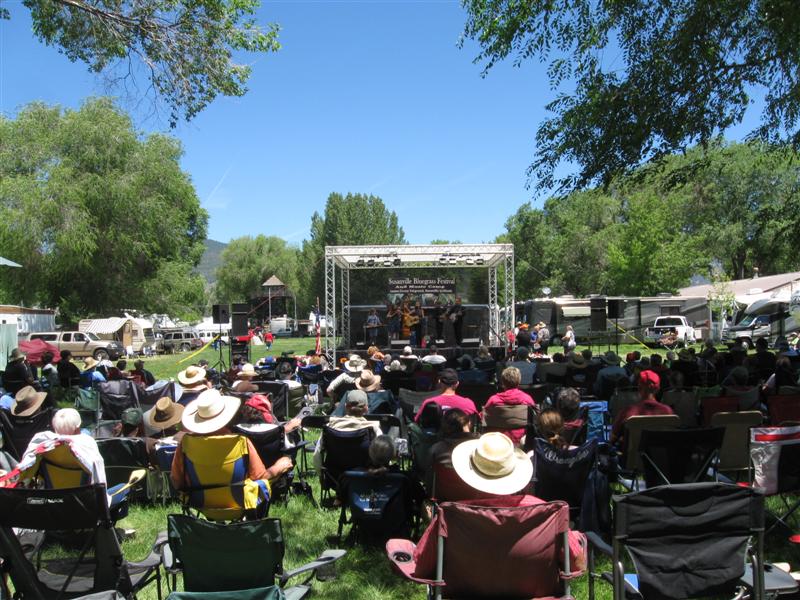
6/10/13- |
Nevada County Fairgrounds, Grass Valley, CA. Site
of Father's Day
Bluegrass Festival. 2400 ft. |
The Father's Day Bluegrass Festival is probably the biggest bluegrass event in California. I came on Monday just to jam with some friends and left Wednesday. The stage performances don't begin until Thursday. As you'll see by the pictures, though, plenty of people arrive early. Some to attend a music camp, before performances begin. Others just jam. I'll be spending Father's Day weekend with my kids, before heading to Montana. Might be stopping by another bluegrass festival the weekend after Father's Day. TBD. |
|
|
9 |
6/9/13 |
Alpine Meadows (Martis Creek Lake NRA) (COE). From
I80 near Truckee, CA, take North Shore Blvd S about
3 mi then 2 mi E on Martis Creek Rd. 5800 ft.
|
|
25 paved sites on level land. Groups of tall pines provide varying shade to sites. Beautiful view of large meadow from back of CG. Dirt road from CG leads to small, narrow lake with good fishing reputation (catch & release only). $18. I was heading to a different CG north of Truckee when I saw the sign for this one. Good find! |
|
8 |
6/5/13- |
Robinson Creek CG (USFS). 9 mi SW of Bridgeport, CA on
Twin Lakes Rd. 7000 ft. |
|
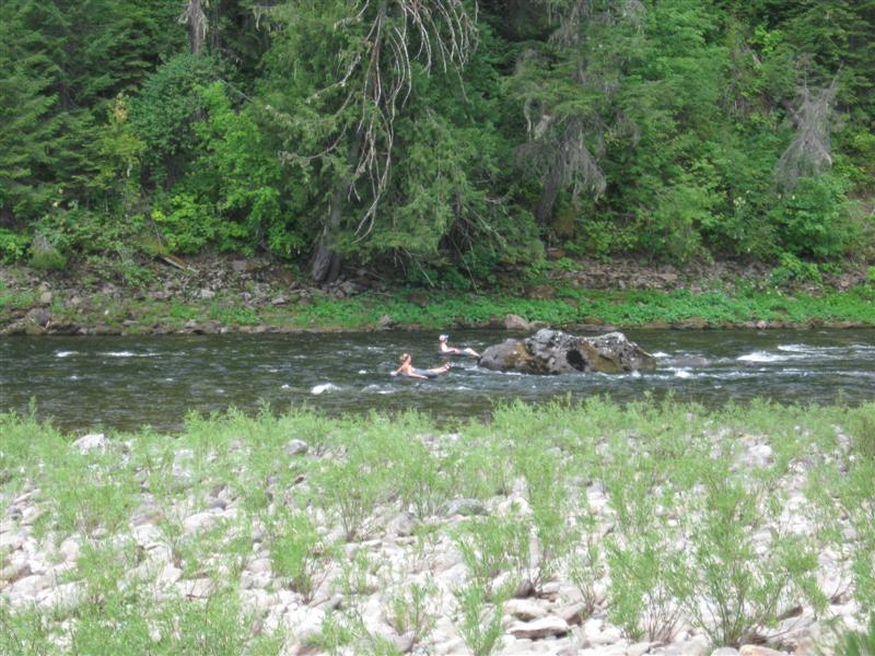
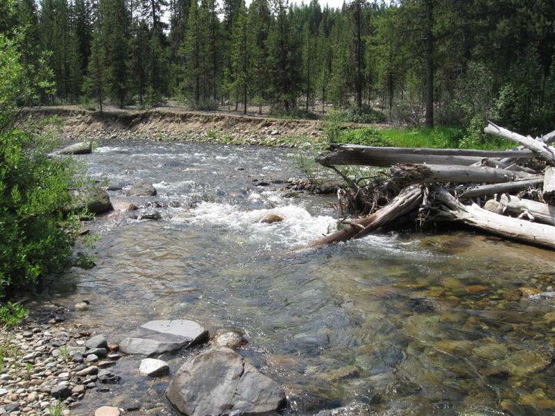
Very popular CG with 54 paved sites in tall pines on level land. Shade varies significantly with site. The very nice Robinson Creek wraps around the CG. Usually good fishing, if they have stocked recently. Many sites on the creek. My favorite Sierra CG. Several other CGs nearby. $20. I fished this creek for 36 straight years around early June with my good buddy Gary (aka Eggs). He's a bit older than me and has decided to hang up his fishing pole, so our string ended last year. (: However, it was tons of fun, not to mention the many, many, many fish caught (and usually released). Still had some company this year, though: My son, his wife and my 3-1/2 yr old granddaughter tent camped here for 2 nights with me! |
|
7 |
6/4/13 |
Leavitt Meadow CG (USFS). 17 mi NW of Bridgeport,
CA on US395, then 7 mi W on Hwy 108. 7300
ft. |
|
16 dirt sites between minimal traffic highway and fast flowing West Walker River. Single loop road on two levels. Lower has river view sites. Most sites have shade from tall pines and aspen. River view ones generally have less. $17. |
|
6 |
6/2/13- |
Boondocking site (USFS). Not a developed campground. South of Lake Tahoe, CA
in the Hope Valley area. 2.5 mi SW
of the hwy 88/89 jct and 4.5 mi S of hwy 88 on Blue Lakes Rd. 7500
ft. |
|
Popular boondocking area spread out over about 3/4 mile alongside Blue Lakes Rd. Spots for both small and large rigs. Views of creek/meadow/mountains vary with site. I got a very private spot (same one as '09). Creek size Carson River (West Fork) right beside me, providing nice "music". My 3rd time here. I like it! $0. Down to around 32F both nights. Late afternoon thunderstorm 2nd evening produced pea size hail and a bit of rain. Didn't last long. |
|
5 |
5/31/13- |
PiPi CG (USFS). 11 mi NE of Pioneer, CA on Hwy 88
then 6 mi N on Omo Ranch Rd and North-South Rd (#6),
both paved, but curvy. 3600 ft. |
Very nice CG with 51 paved sites, well apart, in a heavy stand of conifer type trees (some 100+ ft tall). Plenty of shade. Small Cosumnes River (Middle Fork) alongside CG. Very secluded and quiet here. 1/2 mile walking path (paved or boardwalk) along river. Host said there were a few open sites on Memorial Day weekend. I'm in a very isolated and peaceful site. $22. |
|
|
4 |
5/24/13- |
San Benito County Fairgrounds (Bolado Park) for
a bluegrass festival. 8 mi S of Hollister, CA
on Hwy 25. 600 ft. |
|
Fun little bluegrass festival with local acts. I camped next to a group of people I ended up jamming with. Very convenient. :) Beautiful weather. Hope to attend 2 or 3 more festivals this summer. |
|
3 |
5/21/13 |
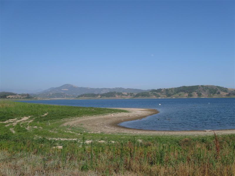
Lake Casitas. 6+ mi SW of Ojai, CA on Ventura
St & Hwy 150. 600 ft. |
Large lake with 460+ camping sites in 13 separate area along 3 mi of lake road. Dirt sites, close together. Many sites with hookups. Nice lake view from many, but lake low for May due to dry winter.. A variety of trees, although amount of shade depends on site. Only 2 other campers in my area of 34 sites (mid week). I was told one was an actor on the TV series "Lost". Didn't meet him. I liked it there, although when packed (like upcoming holiday weekend), it wouldn't be as enjoyable. $25. |
|
|
2 |
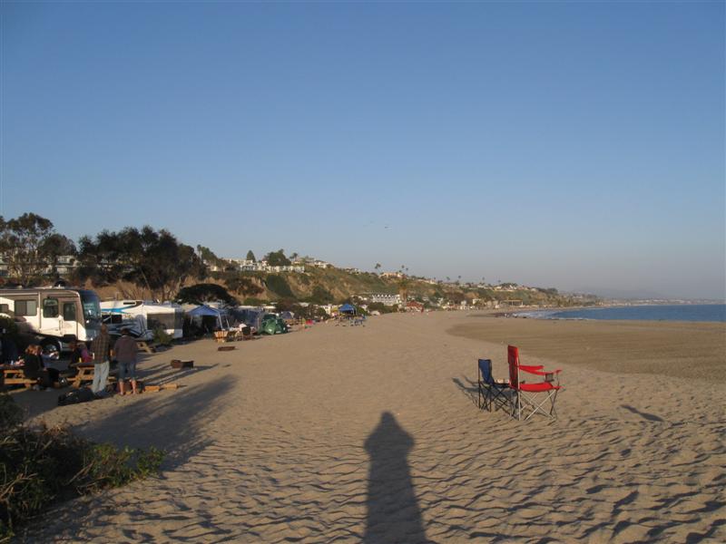
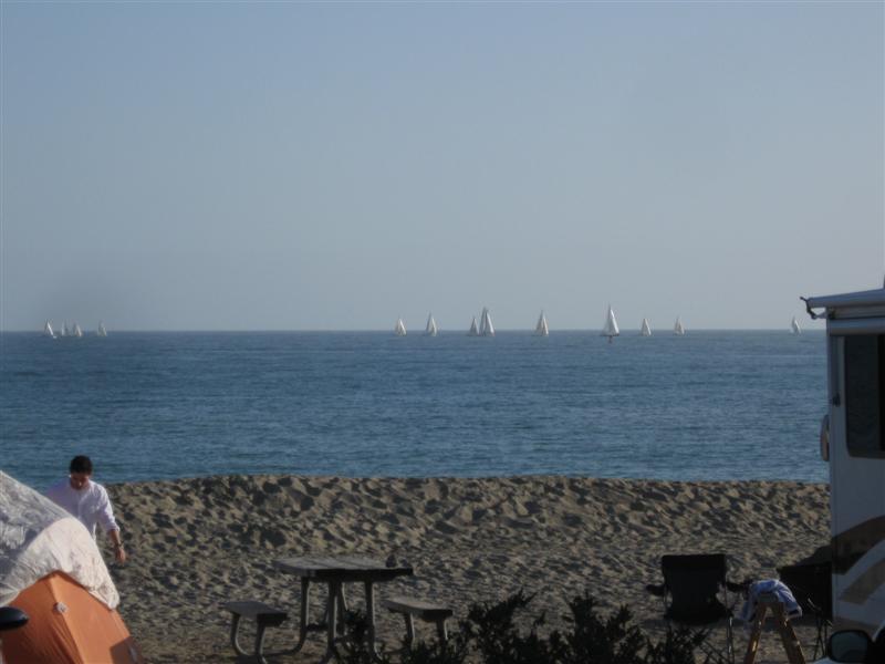
5/9/13 |
Doheny State Beach, Dana Point, CA. 40 ft.
|
My usual campground when visiting Orange County. 100+ sites. Very popular. Complete with the sounds of surf and passing trains. Some campsites right on the sand (if you want to pay $60). I'm the next row back to save $25 (6+ gal of gas). $35 |
|
|
1 |
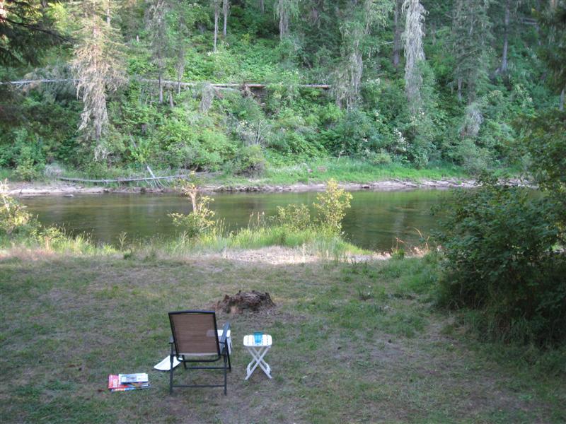
5/7/13 |
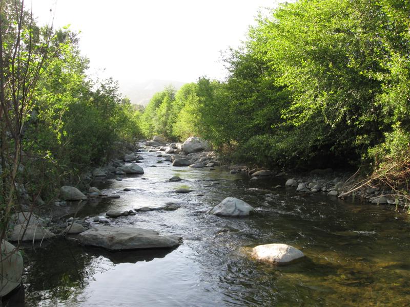
Steckel Park CG (County), 5 mi N of Santa Paula, CA on Ojai Rd.
700 ft. |
|
My frequent stop to and from SoCal. 40+ sites between the hwy and a large river bed. 8 or so with hookups and concrete pads. Quite a few large oak trees. I'm in the cheaper, no hookup section, with dirt sites. Santa Paula River a short walk. $22. |


|
[Home] [Camper Add-Ons] [Campsite Map] [Interviews] [Photo Albums] [Sporadic Blog] [Tips] [My Music] [Contact Me]
|