|
[Home] [Camper Add-Ons] [Campsite Map] [Interviews] [Photo Albums] [Sporadic Blog] [Tips] [My Music] [Contact Me]
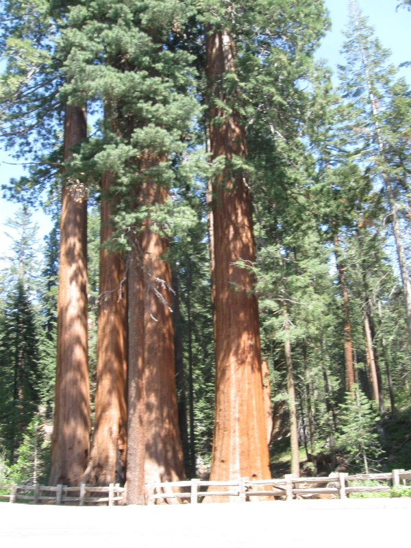
|
- A map of every campsite (540 of 'em, with no dups) I was in for my previous nine years of travel is here. Check it out!
- You might get an occasional tweet if you follow me on Twitter @RamblinRalph
- Sign my guest book and leave comments
- One of my photos was a winner in the Truck Camper Magazine 2011 Calendar Photo Contest! See it here.
![]()
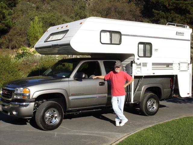
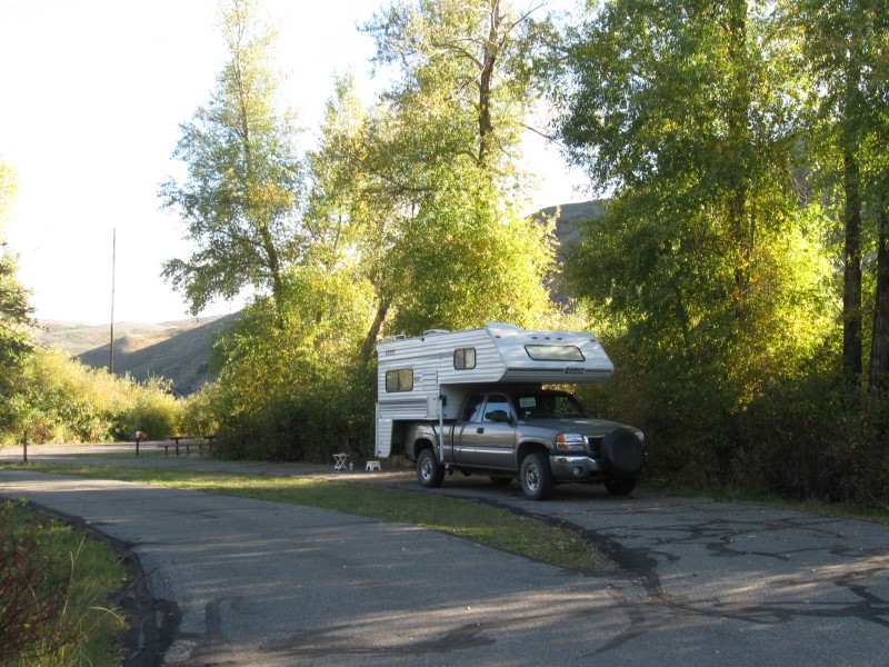
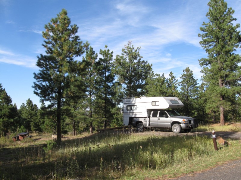
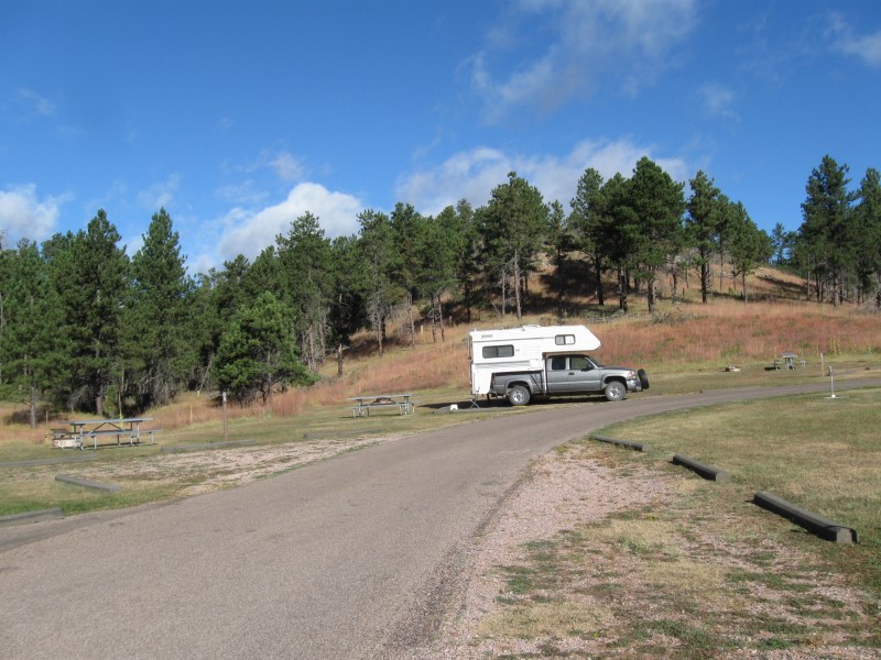
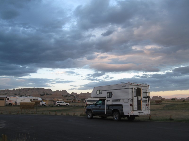
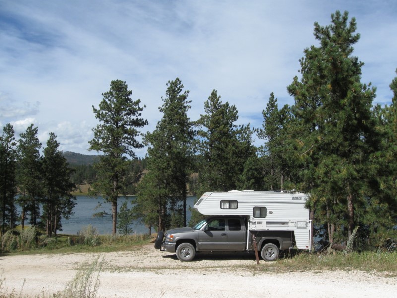
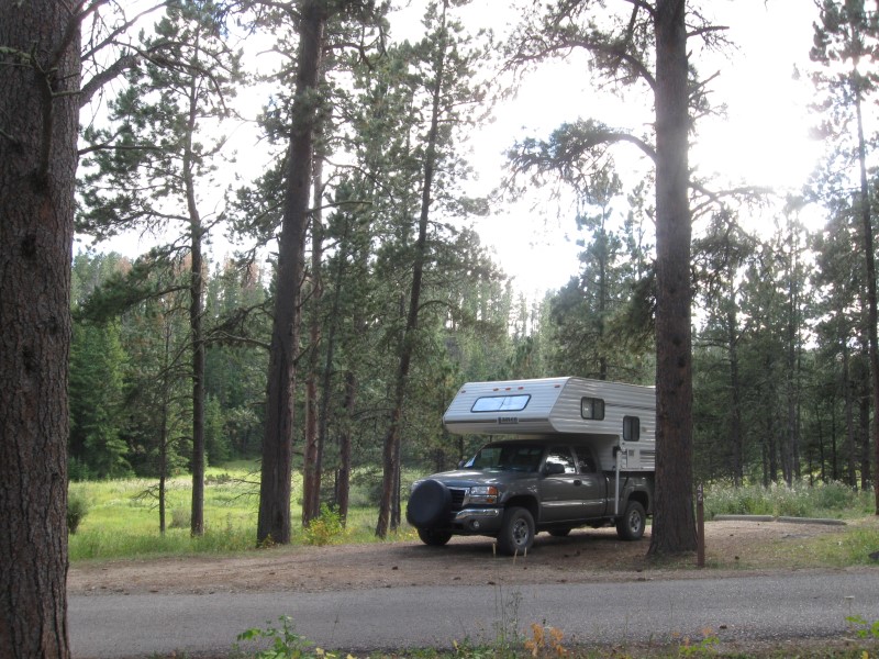
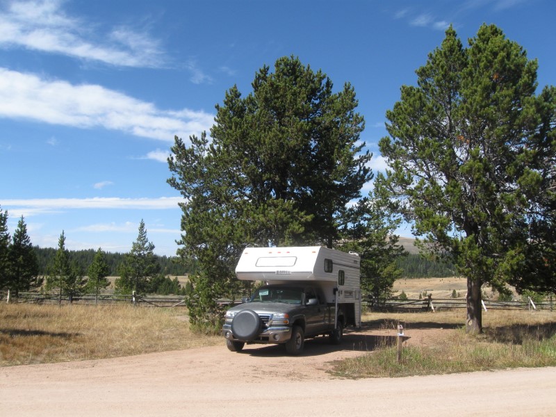
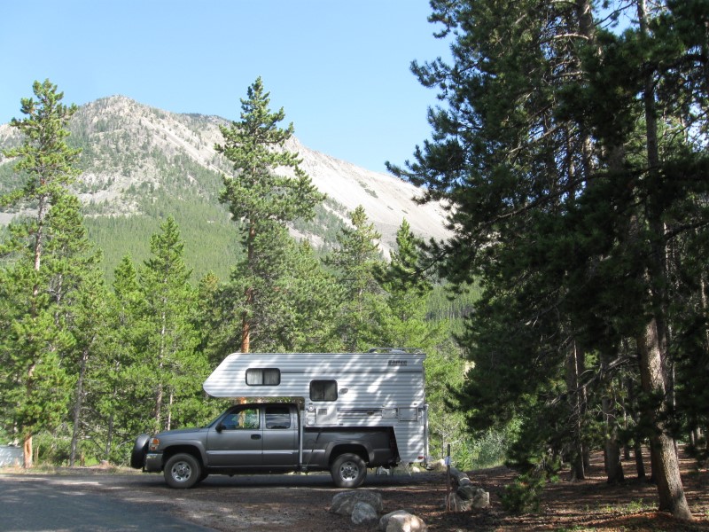
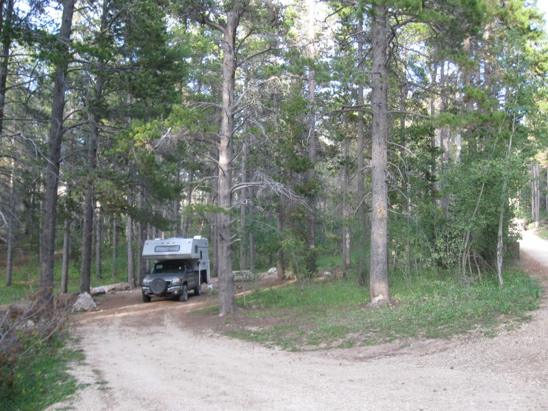
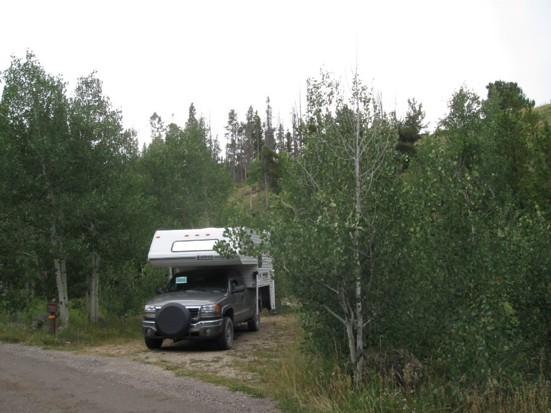
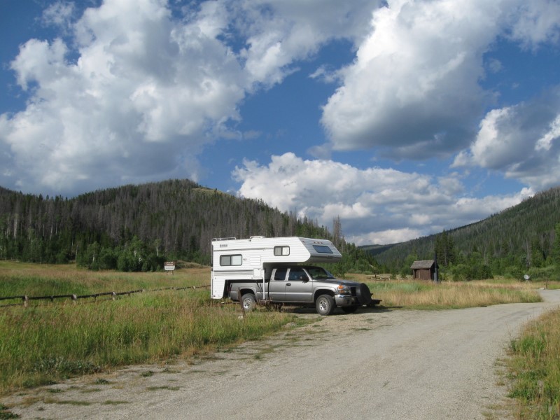
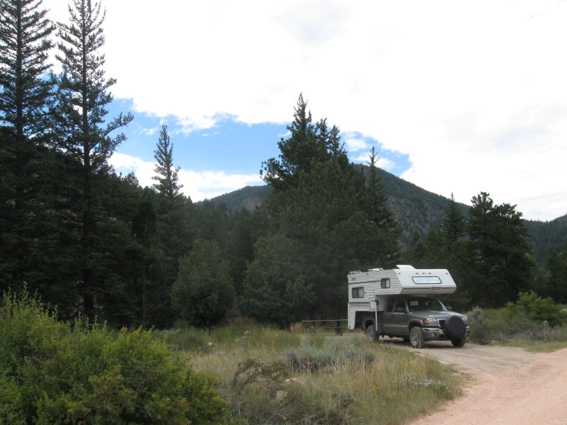
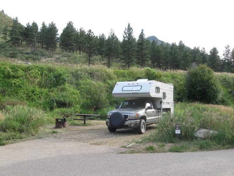
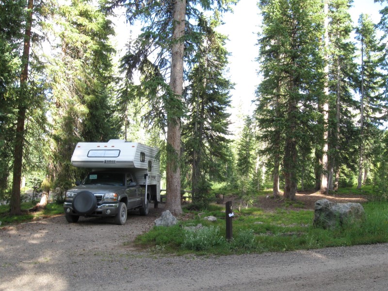
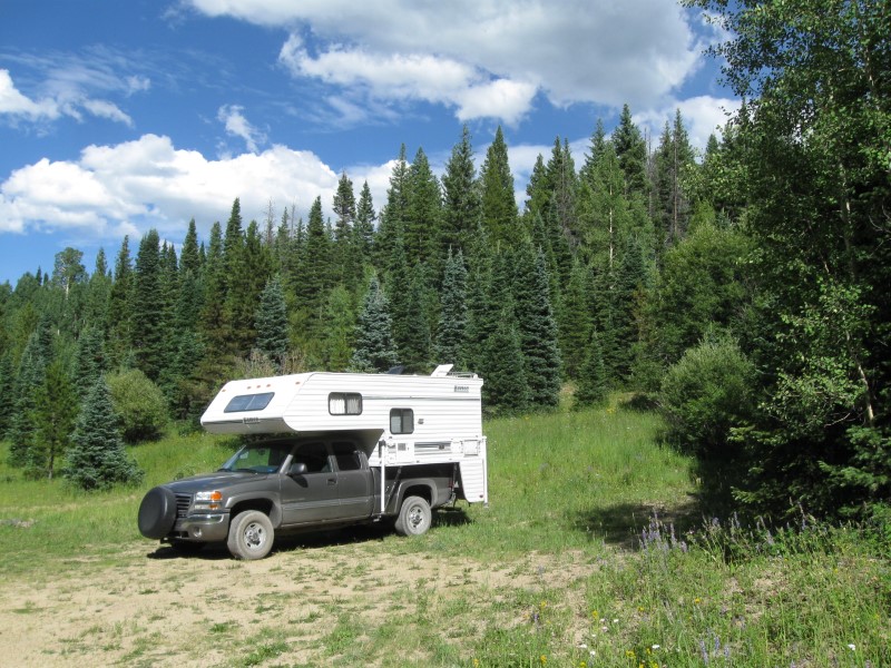
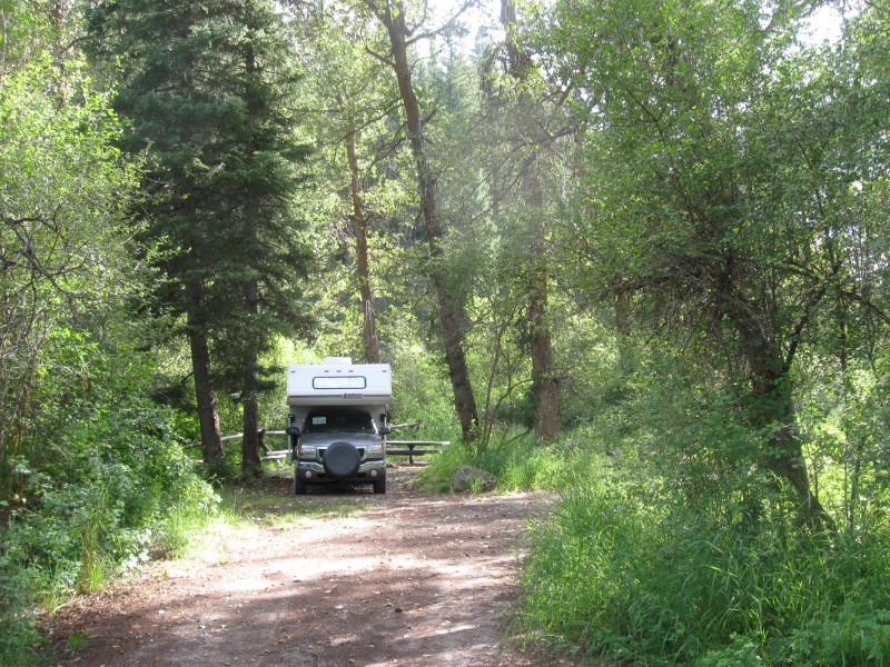
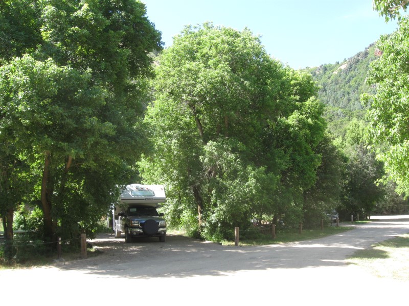
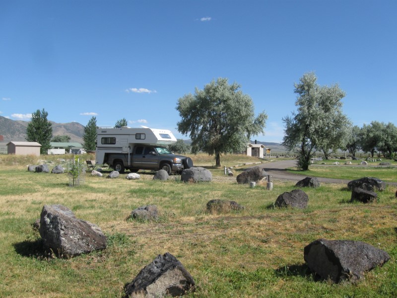
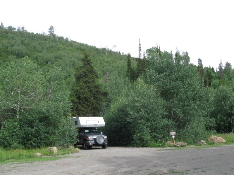
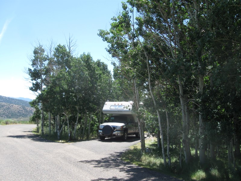
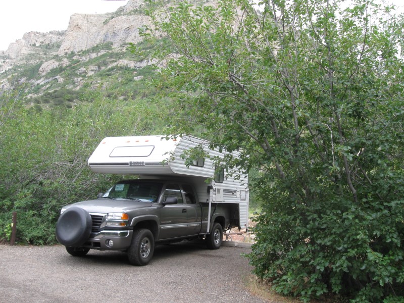
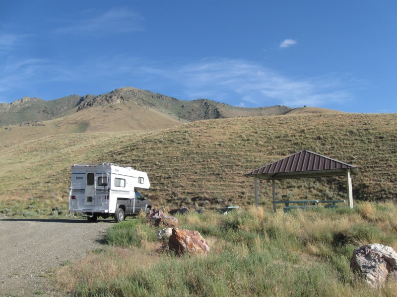
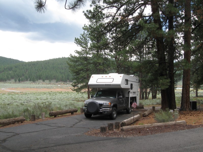
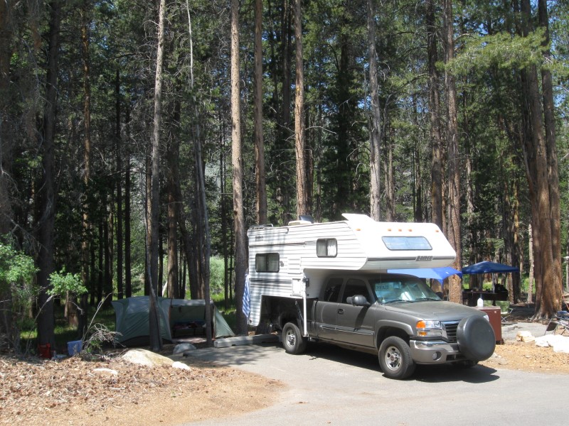
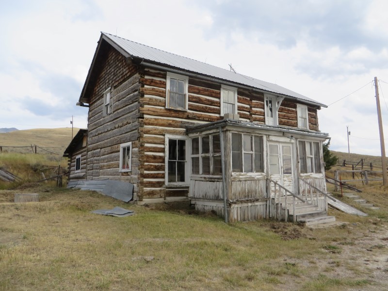
| 2006 GMC 2500HD w/2001 Lance 845 |
Previous years' travels: 2006
2007 2008 2009 |
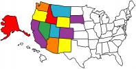
States
Visited Map (plus BC/AB/YT in Canada) |
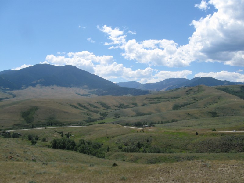
I bought my new truck and used camper in late October of 2005. The following May, I "hit the road" full-time for 6 months. I've done the same every year since, and now 2015 will be my 10th year of ramblin'! My how time flies. Not all of my nights are spent camping, but most are. I don't make entries that are repeats of previous campgrounds or when I stay with my kids or friends. Campsite fees are for one night with no discount (and no hookups, unless specified). However, being the old geezer that I am, I get 50% off at U.S. Guvmint CGs with the valuable Golden Age card, plus free entry to National Parks.. One of the few ways (in addition to retirement) it pays to get older. All the aches and pains sure aren't fun. :)
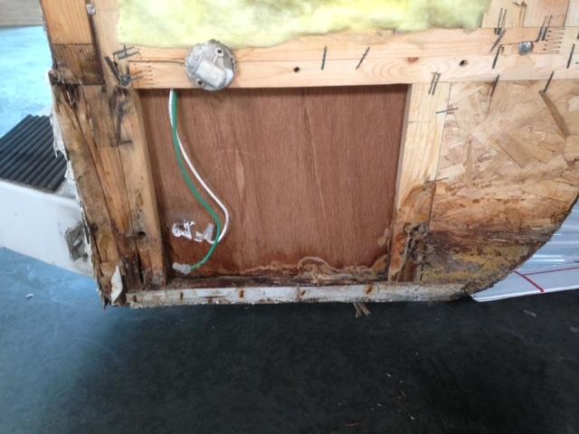
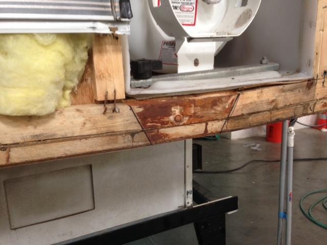
I started my travels this year with around 88K miles on my camper and 134K miles on my truck. I took my camper to the Lance factory before my 2014 travels and had some structural repairs done to it (pics here and here). It should be in good shape for several more years of travel. Of course, my old body will probably wear out before the camper. :)
Note: Click on small photos for a larger one. Click on
the USA map/flag (![]() )
to see the actual camp location (green arrow) on a map (+/- 50 ft).
)
to see the actual camp location (green arrow) on a map (+/- 50 ft).
|
Ref # |
Date |
Location |
Campsite & Other Photos (click links) |
Comments |
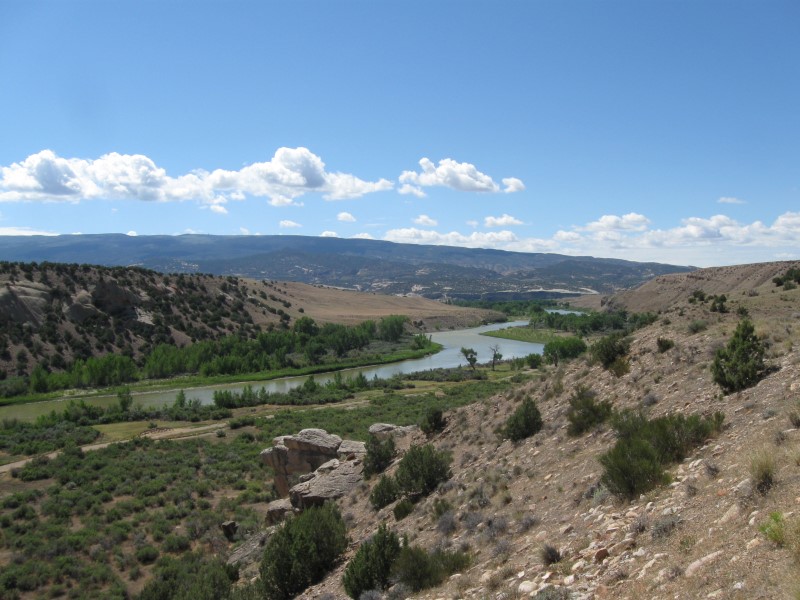
|
|
11/2/15 |
That's it folks. Road Trip 2015 is over. I'm back at my winter residence on the Central Coast of California. Had another great year of ramblin'. Thanks for traveling along with me! This year's stats:
You can contact me via my Guest Book or email. The quick way to see where I've been is to look at my Campsite Map (click link or see menu at top of page). Standby for Road Trip 2016 starting in May!! |
|
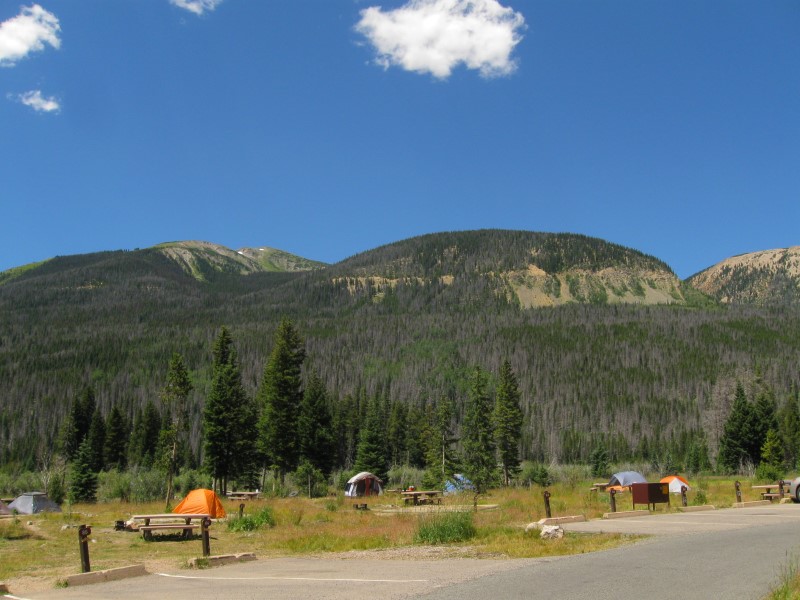
|
|
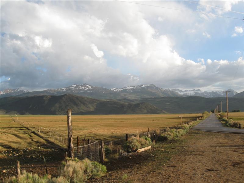
79 |
11/1/15 |
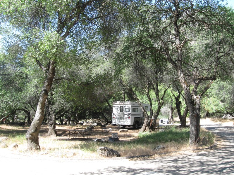
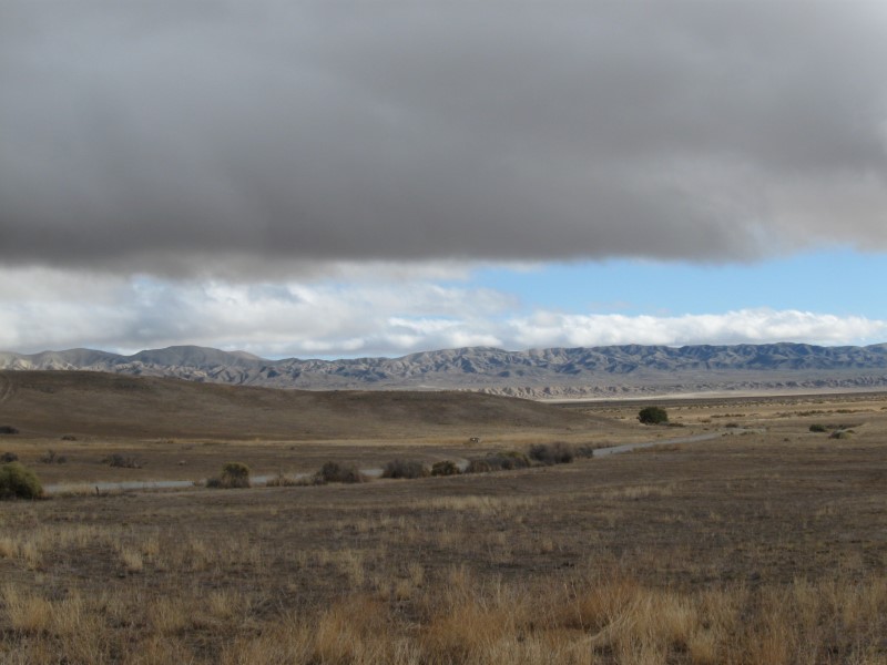
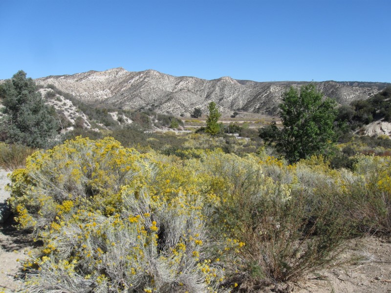
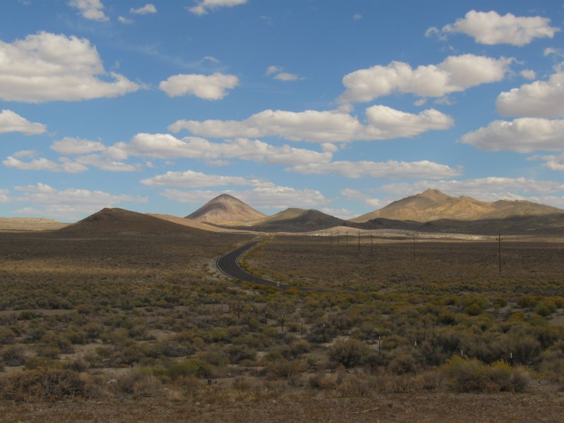
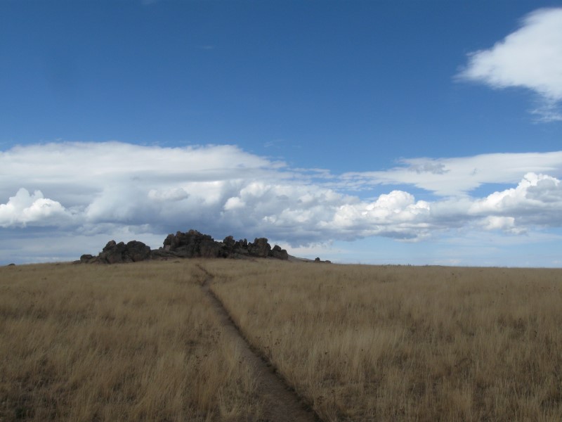
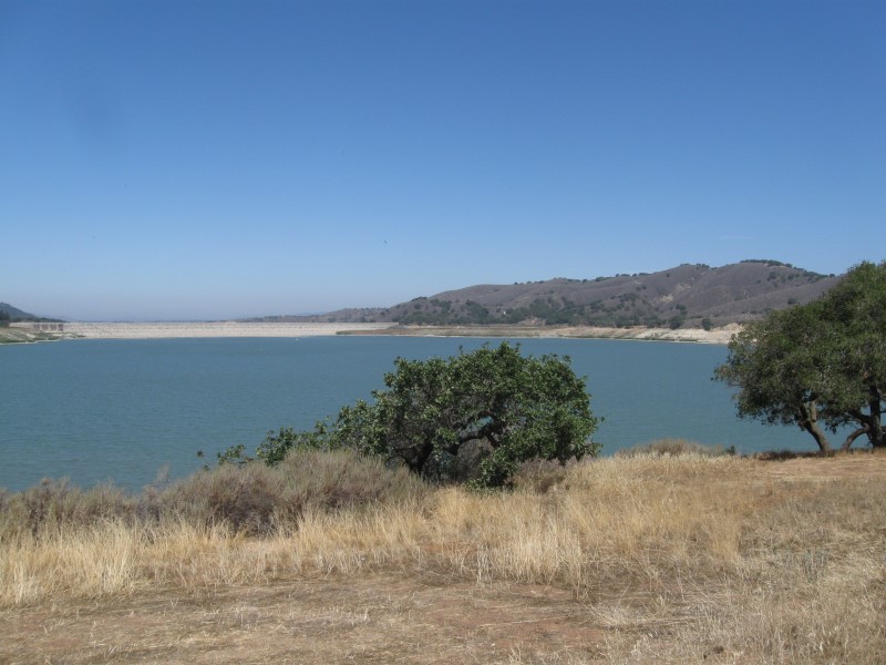
KCL CG (BLM) in Carrizo Plain National Monument. About
43 mi E of Santa Margarita, CA on hwy 58, then 26 mi
SE on Soda Lake Rd (part dirt), then 1/4 mi SW on gravel
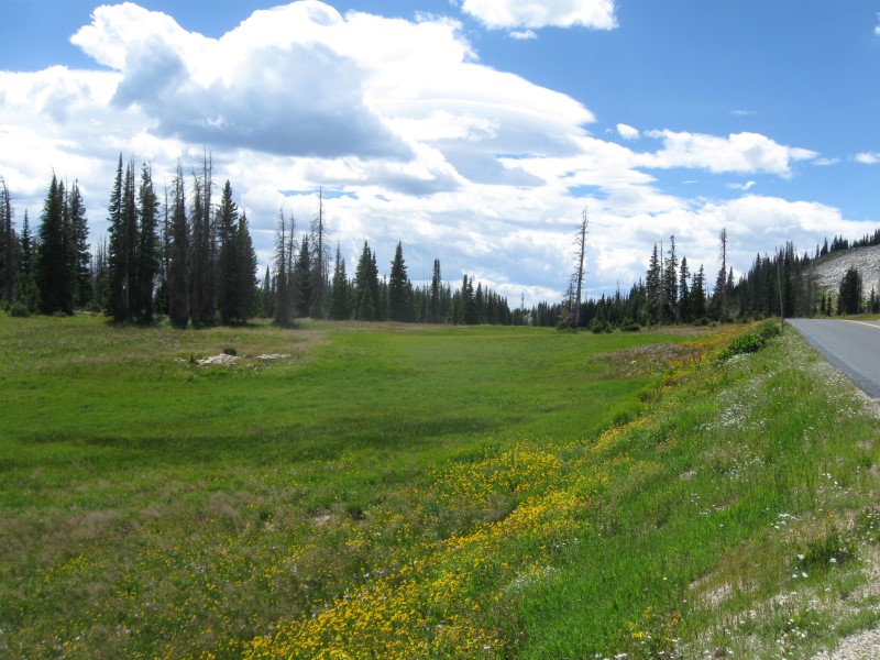
rd. 2300 ft. Last CG of 2015! :( |
|
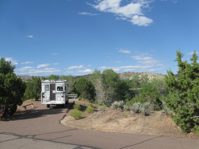
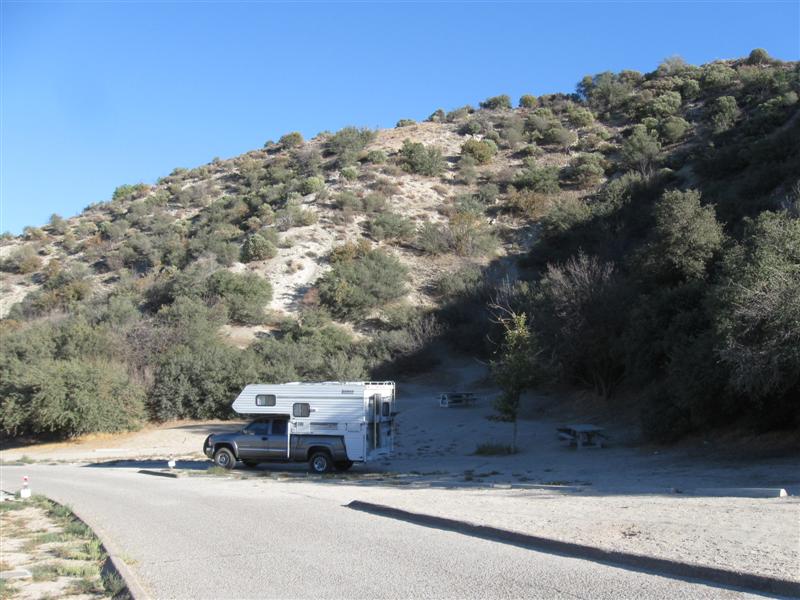
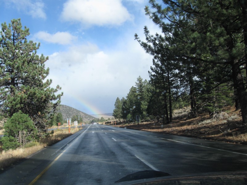
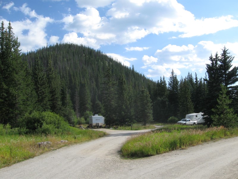
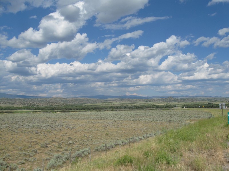
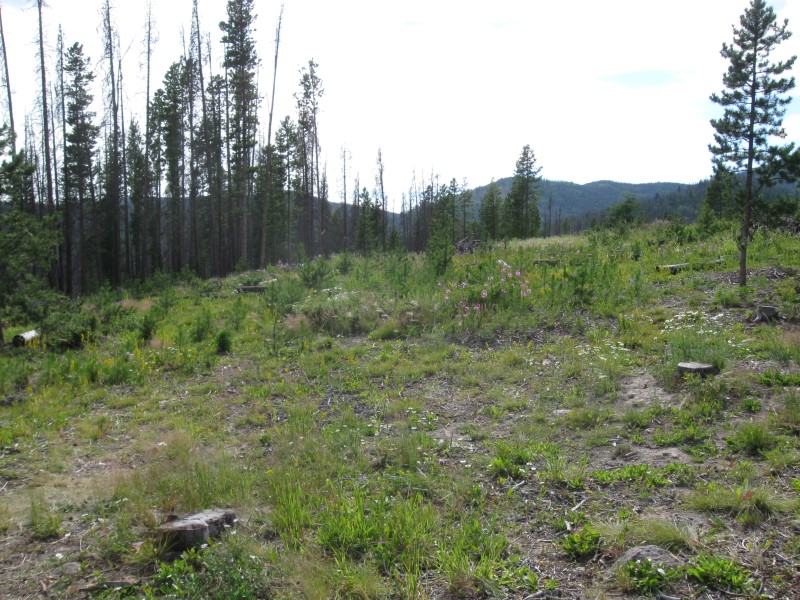
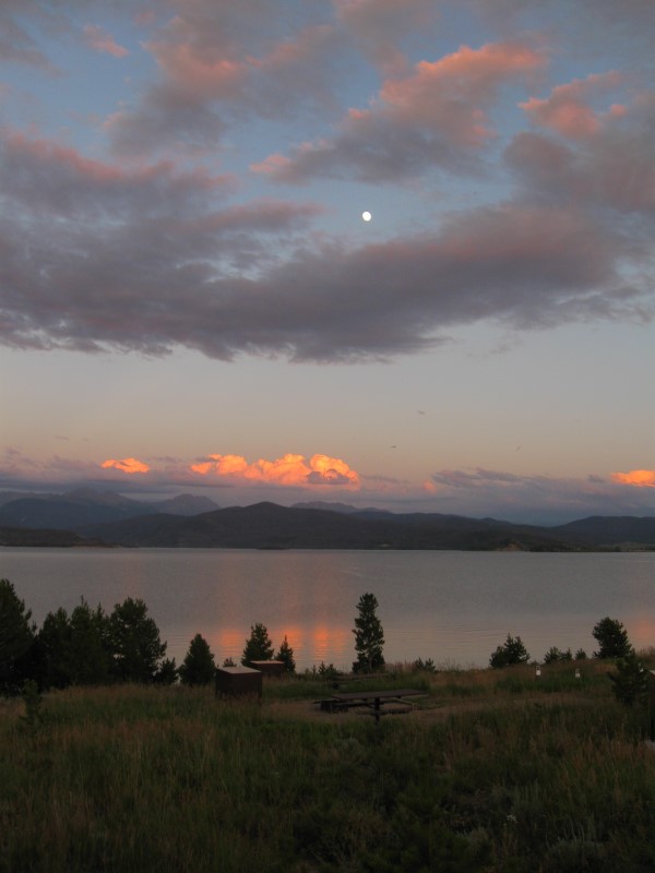
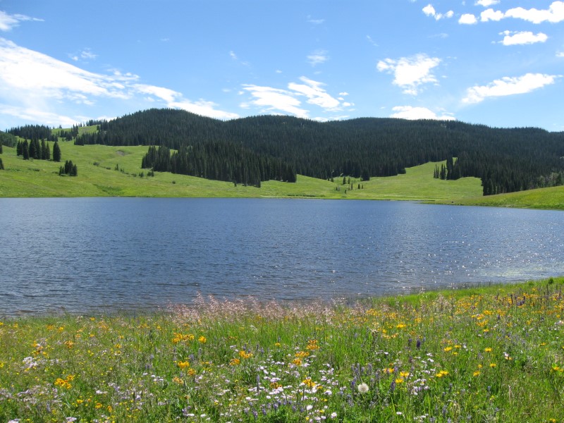
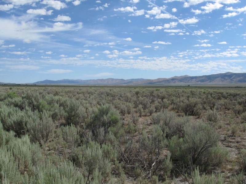
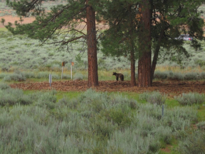
8 gravel sites on level land. About 4 more in a corral area. Scattered shade from a few large trees. Nice view of the plain. Lots of pesky flies. A bunch got inside and wouldn't leave! This place is in the boonies and pobably miles to the nearest house, so very peaceful here. Had the place all to myself. Vault toilets. Lowest price you can find @ $0. |
|
|
10/31/15 |
Same CG as 6/2/15 (Los Alamos) |
Only about 3 other sites occupied. Didn't get any trick-or-treaters. :) On USFS land, but no Senior Pass discount. Hmmm???? |
|
|
|
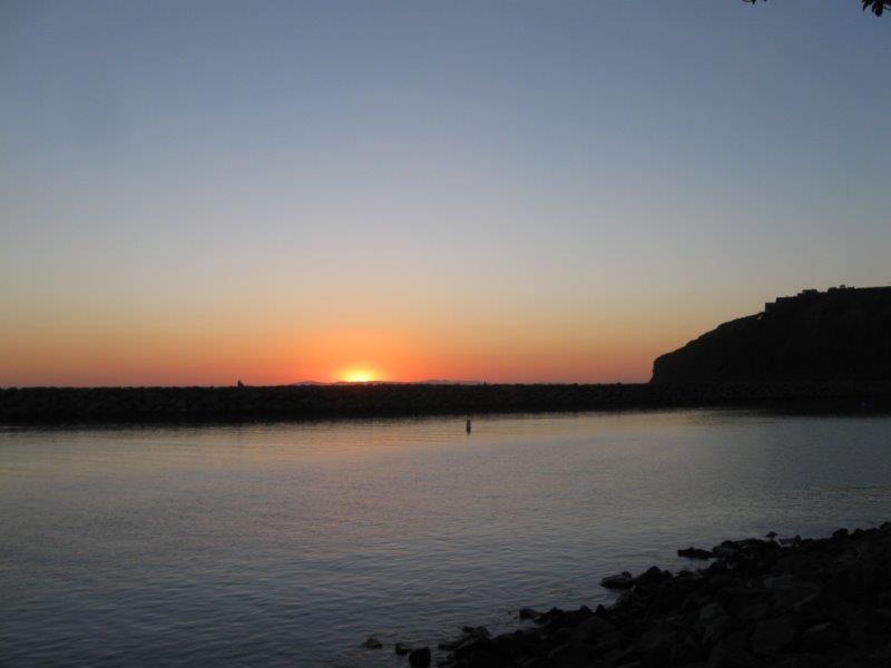
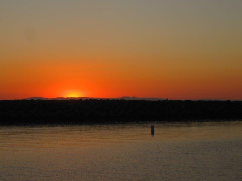
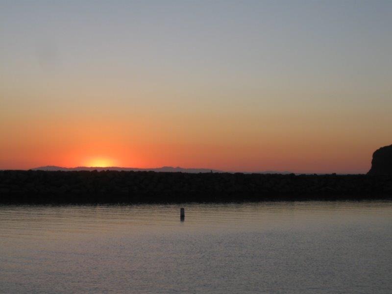
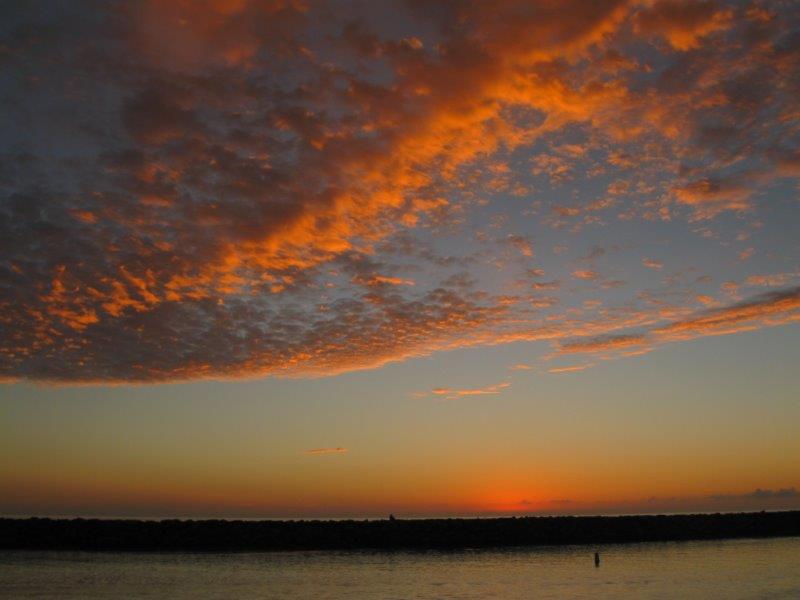
10/17/15- |
Visiting friends in Southern California, where I spent my working years. |
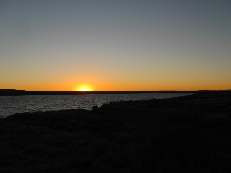
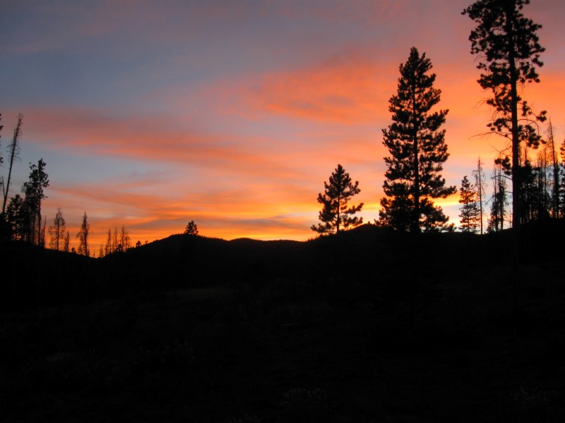
Harbor Sunset #1 |
Got several jam sessions in with old pickin' friends! Yeehaw! :) |
|
78 |
10/16/15 |
Steckel Park CG (County), 5 mi N of Santa Paula, CA on Ojai Rd.
700 ft. |
|
My frequent stop to and from SoCal. 40+ sites between the hwy and a large river bed. 8 or so with hookups and concrete pads. Quite a few large oak trees. Porta potties and one restroom with flush toilets and showers. I'm in the cheaper, no hookup section, with dirt sites. Santa Paula River a short walk. $23. I lucked out when I chose the coast route to come to SoCal. If I'd come down I5 (which I do, sometimes), I would have been detoured by the mudslide that closed I5 near Gorman! |
|
77 |
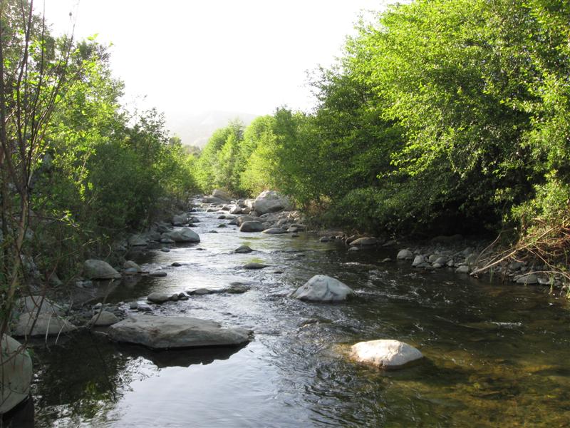
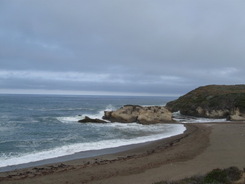
10/15/15 |
Islay Creek CG, Montana de Oro State Park. 5 mi SW of
Los Osos, CA (via Los Osos Valley Rd and Pecho Valley Rd). 100
ft. |
|
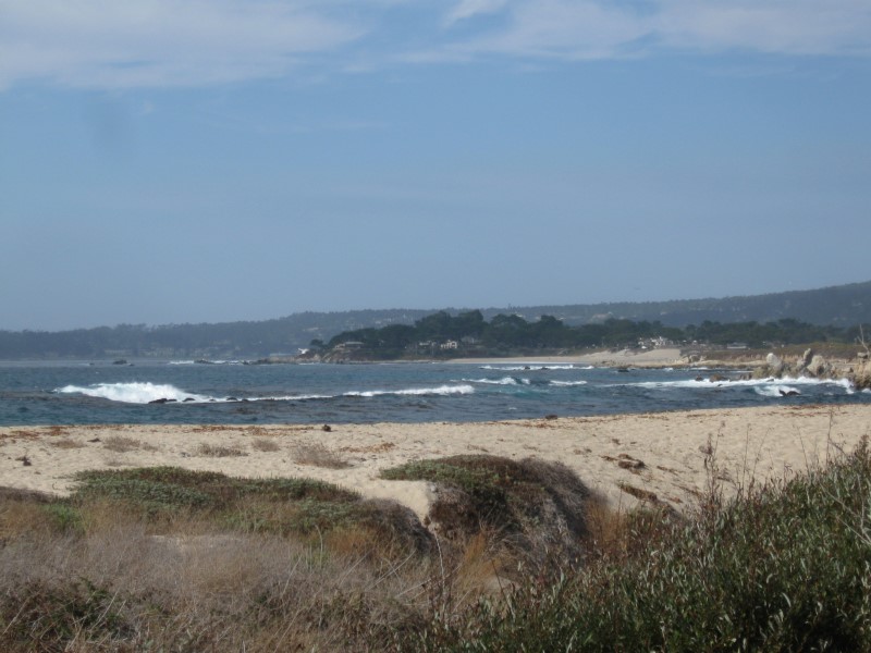
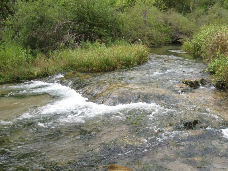
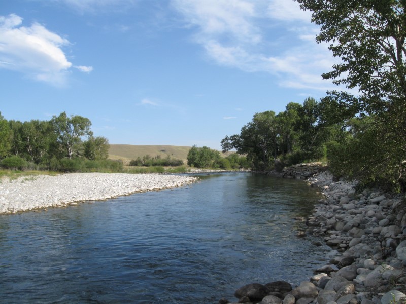
Secluded CG in a beautiful State Park on the coast. About 45 paved sites on level land in two sections in a canyon. Feels more like a typical USFS CG, than a State Park one. Loads of hiking available along with a beautiful beach cove (see pics). Was here in 2009. Vault toilets. $25. My drive to get here was along the gorgeous Hwy 1 coast. A bit curvy, though. :) |
|
76 |
10/14/15 |
Pfeiffer Big Sur State Park CG. 2 mi S of Big
Sur, CA on Hwy 1. 200
ft. |
|
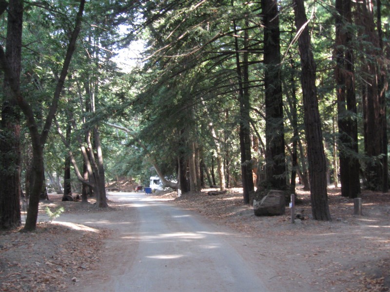
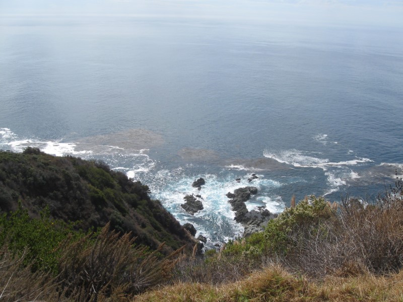
180+ (per map) dirt sites on level land. Many sites are very shady from tall, tall leafy type trees, and redwoods in some areas. Big Sur River flows through the CG, although it's not very big this time of year. Lots of small flies try to land on your face. Flush toilets, sinks and pay showers. Free-to-campers dump station. $35. Site fiasco: Person at gate assigned me a site Got to it and sign says "Reserved Tonight". I go back and check if it's really reserved. "Nope, it's yours" was the response. About 8 p.m. CG host comes by and tells me I have to move. Needless to say I wasn't happy with the whole mess. Grrrrrrr. |
|
75 |
10/4/15- |
Ironhorse CG (BOR) in Gloryhole Recreation Area on
New Melones Lake.. 2 mi S of Angels Camp, CA on
hwy 49, then 4 mi W on Whittle Ranch Rd. 1100
ft. |
|
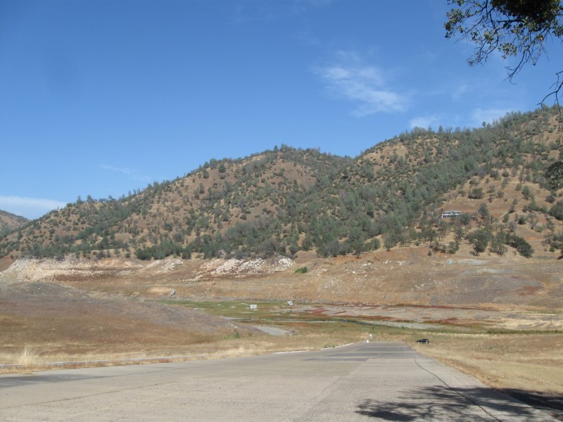
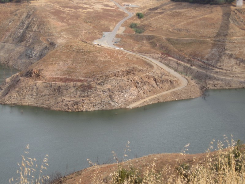
About 90 paved sites on hilly land (20 are walk in). Scattered live oak trees. Most sites will get quite a bit of sun. Even though the sites are paved, they aren't necessarily real level. In a normal year, you can see water from many sites. Not so this year, with the lake at 14% capacity (per CG host). Flush toilets, sinks and showers. $22. Only about 20 sites were open and the Big Oak CG (w/50+ sites) across the road was closed. |
|
74 |
10/3/15 |
The Pines CG (USFS). 9 mi E of Groveland, CA
on hwy 120, then 1/2 mi S at CG sign (Smith Peak Lookout Rd).
3200 ft. |
|
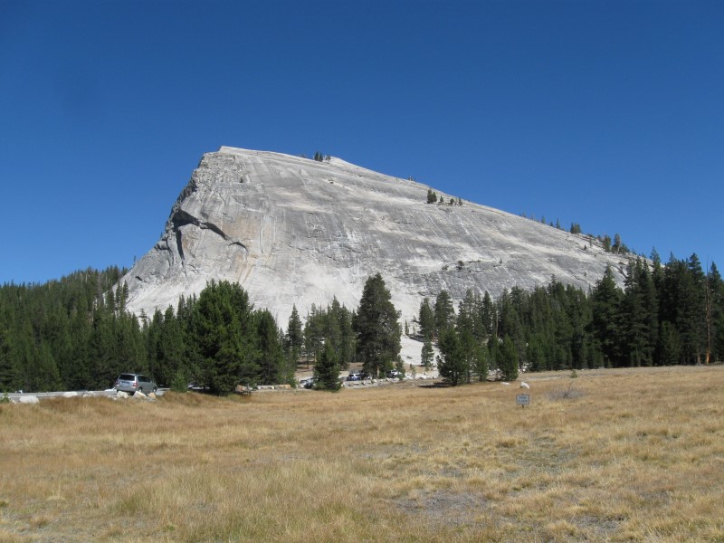
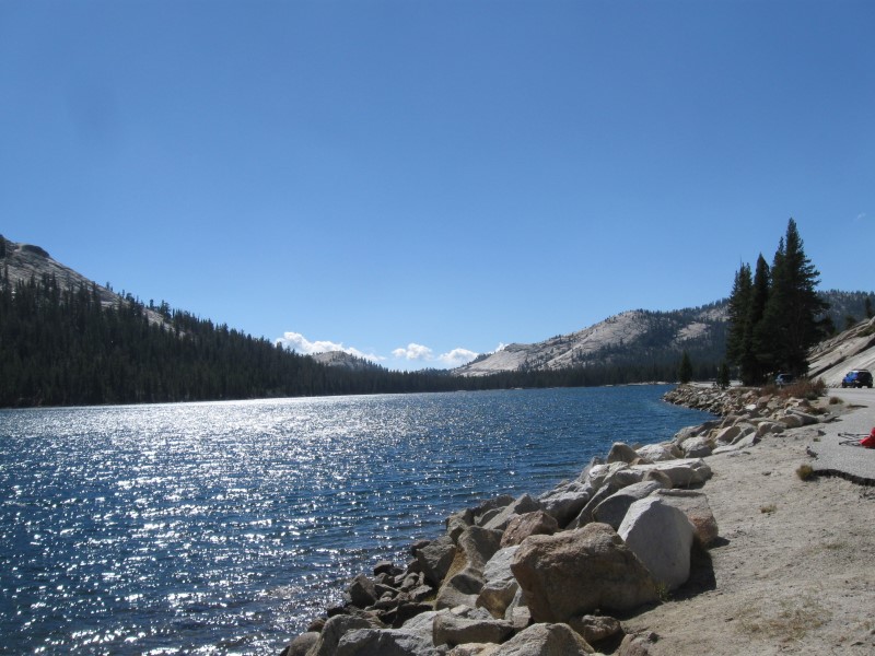
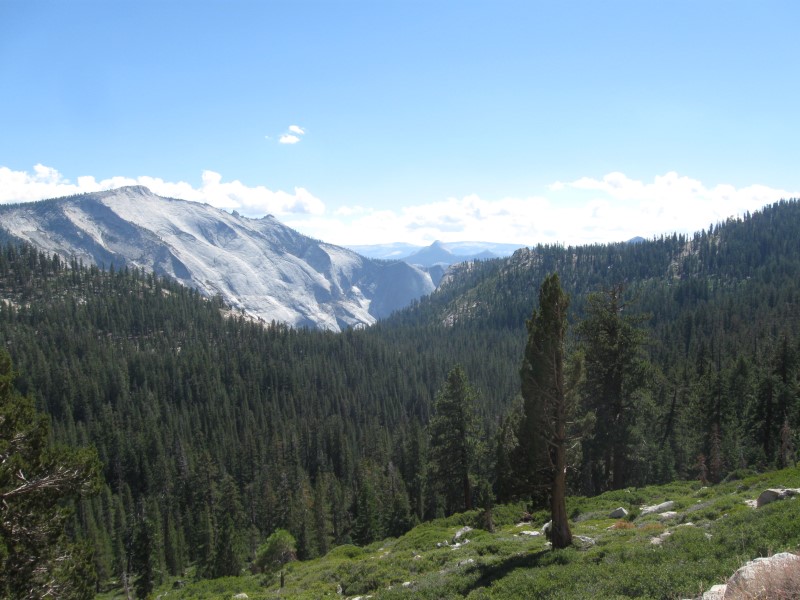
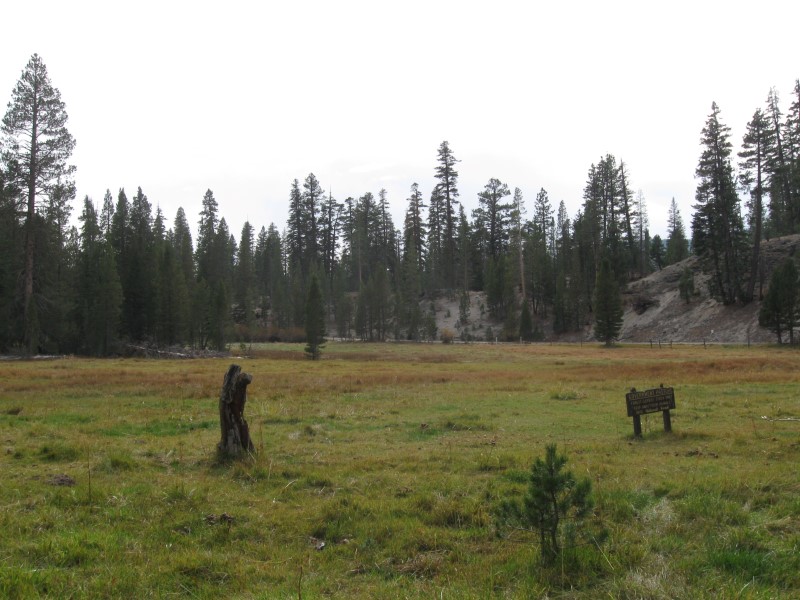
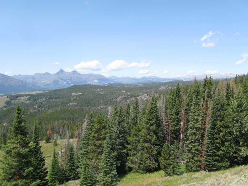
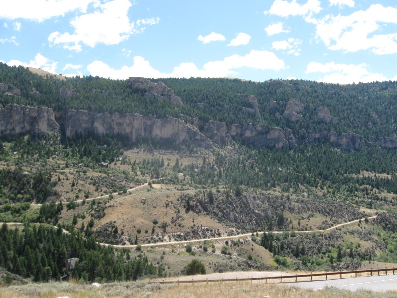
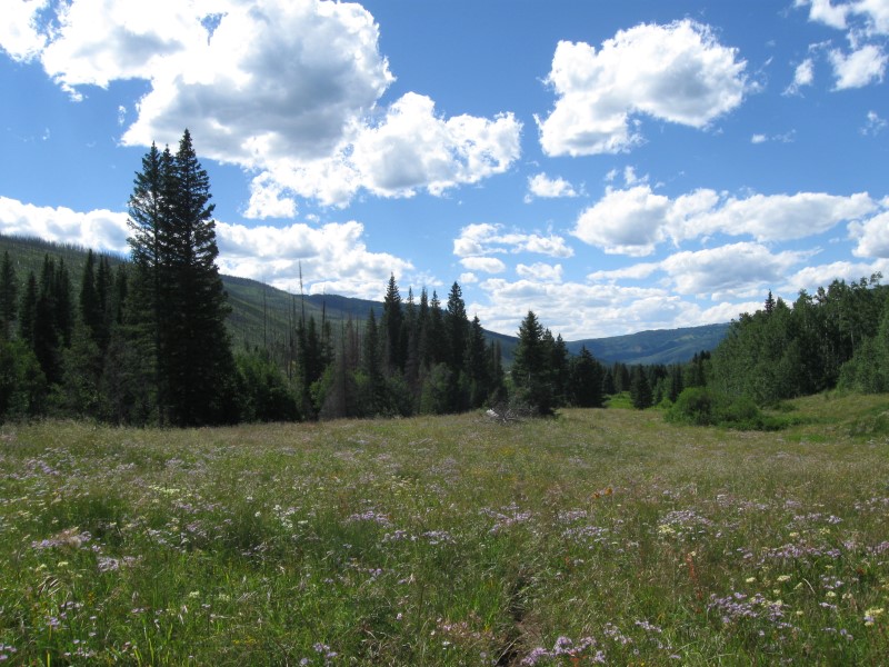
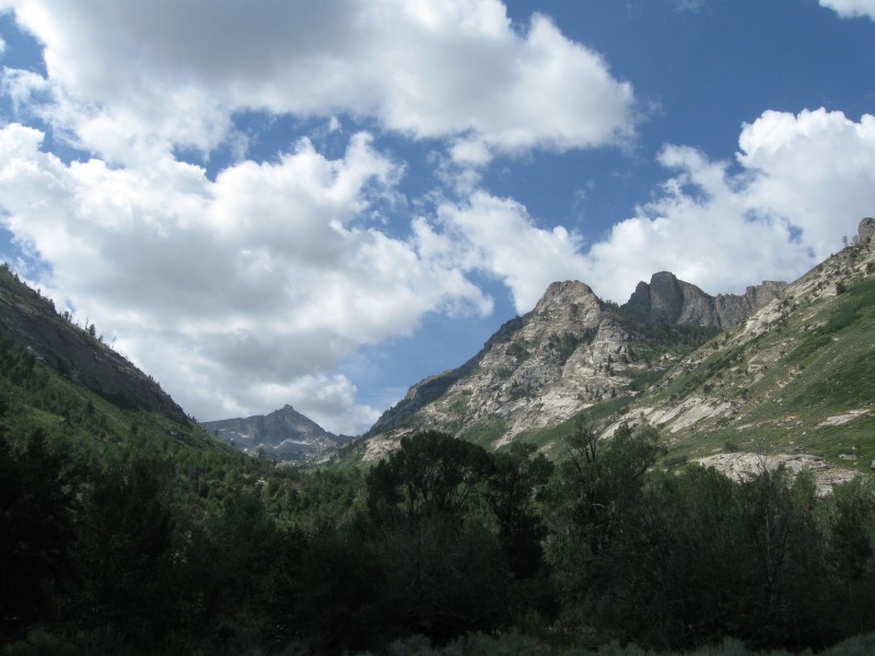
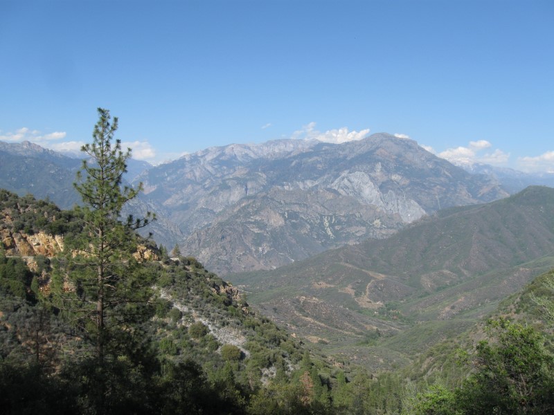
12 gravel sites on level land. Pines and oak trees, but not dense. Group site adjacent to the CG. Off the hwy far enough for minimal to nil noise. Vault toilets. $19. Today I drove across 10K ft Tiioga Pass and through the Tuolumne Meadows part of Yosemite National Park. I forgot how massive the rock mountains are!! Since it was Saturday, and a nice sunny day, there were cars parked all along the side of the road near scenic spots and trailheads. Thankfully a lot warmer here than last night. Only down to mid 40s. Yay!! |
|
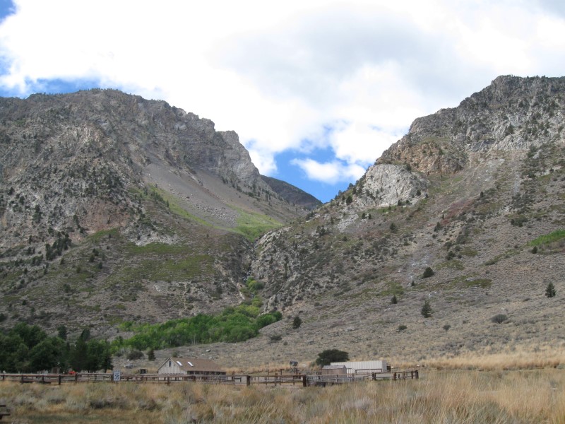
73 |
10/2/15 |
Boondocking site (USFS) Not a developed campground. From
the June Lake, CA loop road (S end) junction
with US395 go 7+ mi SE, then 1/2 mi NE on Owens River
Rd, then 1/4 mi N on unmarked dirt road (map say 02s214). 7500
ft. |
Nice, good size clearing in the pines and easy to get to. Only about 1/4 mi off a paved road via a one lane dirt road. US395 is about 1/2 mi away, but only trucks produce a bit of a hum. A trailer was the only other RV here, about 100 yds away. The usual boondocking fee of $0. Note: Other spots in this general area. I was in one last year. Yikes, down to 21F at night!! I'm heading over the Sierras for lower elevation :) |
|
|
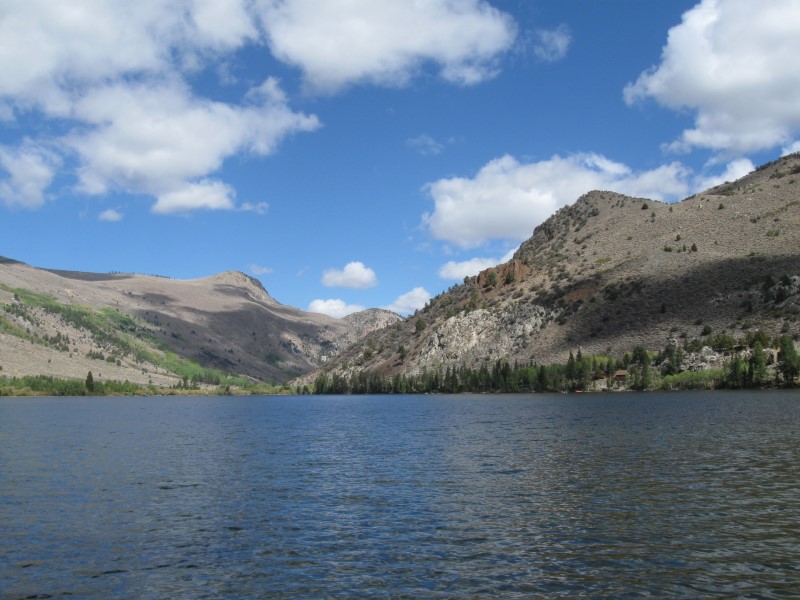
72 |
10/1/15 |
Silver Lake CG (USFS). About 5 mi W of June
Lake, CA on hwy 158. 7100
ft. |
|
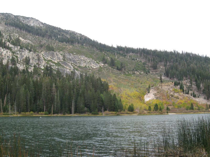
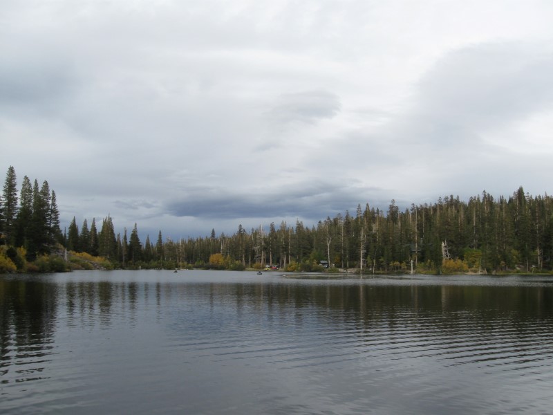
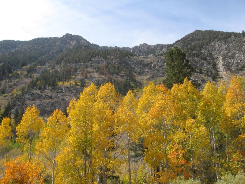
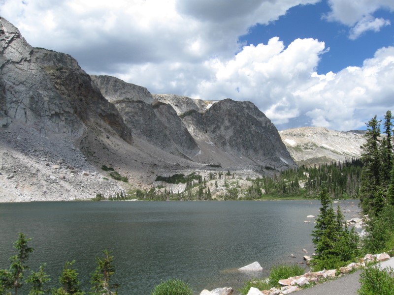
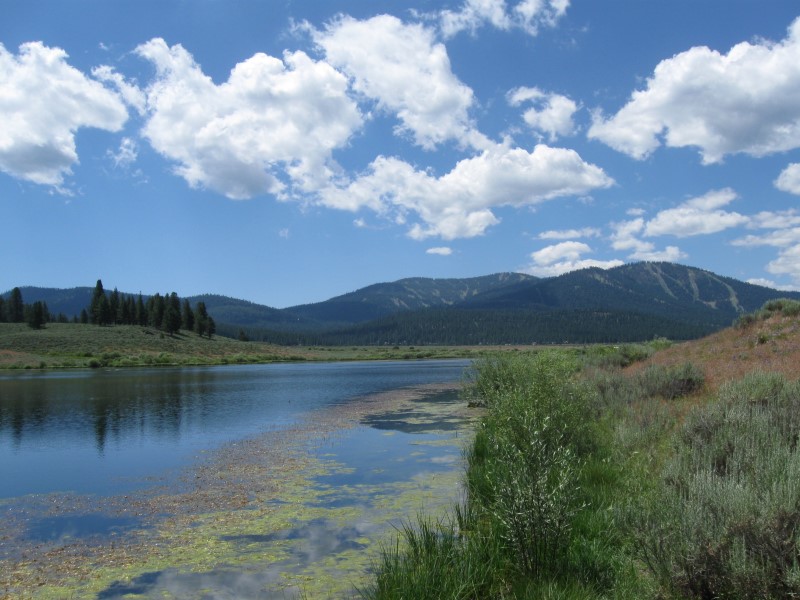
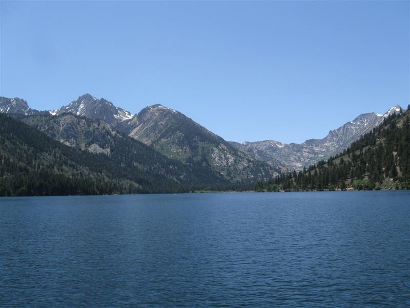
60+ paved sites in 2 loops on level land. Very widely separated sites. S loop is near the lake, while the N loop is near a creek (outflow of lake). Can't see either lake or creek from sites, due to trees/bushes. Essentially no shade in N loop. S loop has some sites somewhat shaded by tall bushes. No shade isn't that big of a deal this time of year with mild temperatures. The fantastic view of the Sierras more than makes up for it. You can always bring shade, but you can't bring views. :) Was here in 2013. Flush toilets and pay showers. $22. Down to 27F at night! Brrrrrrr. |
|
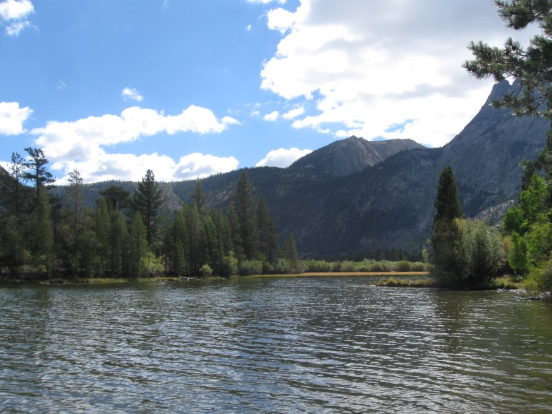
71 |
9/30/15 |
Reds Meadow CG (USFS). About 13 mi W of Mammoth
Lakes, CA, mostly on hwy 203. Go past the ski
area and follow signs to Devils Postpile. 7500 ft. Note: About 3 mi of narrow, steep and curvy road to get down to the canyon. Restrictions on private vehicles during the summer. |
|
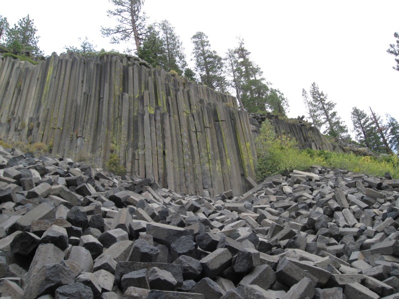
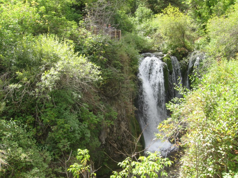
Book says 52 sites, but the highest site number I saw was 27. I think a section was closed, as I saw a sign blocking a road. Roughly prepared dirt sites on sloping land. RVs might need leveling blocks. Rough interior dirt road. Nice meadow in back of some sites (like mine, #16). This CG was the only one open, out of about 6 in this area. $22. Decided to revisit Devil's Postpile National Monument (last time was 2007). Very interesting geologic formations. |
|
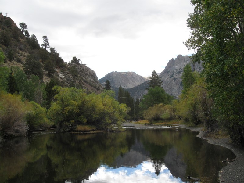
70 |
9/29/15 |
Twin Lakes CG (USFS). About 4 mi SW of
Mammoth Lakes, CA on Lake Mary Rd and Twin Lakes Rd.
8500 ft. |
Large CG with 90+ dirt sites on level land and in a maze of roads. Split into 2 sections, with most of the sites in the 2nd section, across a bridge. Located between 2 lakes (hence the "twin"), but very few sites with a lake view. Not a long walk to one, though. Plenty of tall pines for shade in most sites. Was here in 2007. Bathrooms have flush toilets and sinks. $23. USFS had closed all their CGs that are outside of town, except this one! |
|
|
69 |
9/28/15 |
Big Meadow CG (USFS). 23+ mi NW of Bishop,
CA on US395 then 4.5 mi SW on Rock Creek Rd. 8600
ft. |
Nice, small CG with 11 dirt sites on level land. Most nestled in the pines near small Rock Creek. Tall mountain with steep face beyond the creek. Creek about 30 ft from my back door adds to the "all nature" backdoor view. About 2/3 full. Bathroom has flush toilets and sinks. $23. I was here in 2010 on the same exact date!! Total coincidence, BTW. :) |
|
|
68 |
9/26/15- |
Bishop Park CG (USFS). 15 mi SW of Bishop,
CA on West Line St (aka CA168). 8400 ft. First night camping in CA since 7/4/15. And it's in my favorite part of CA for recreation - The Eastern Sierra! |
|
About 20 dirt sites on sloping land (several tent only). The fast flowing Bishop Creek (N Fk) is alongside most sites (and below some). Makes nice music. Heavy shade at many of the tent sites. Not much at the RV sites. Bathrooms with flush toilets and sinks. $23. |
|
|
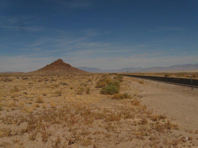
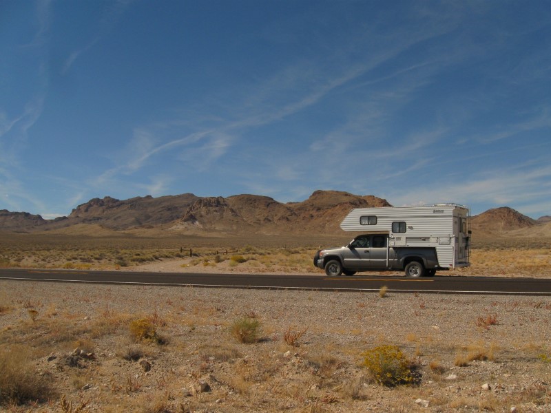
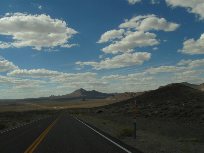
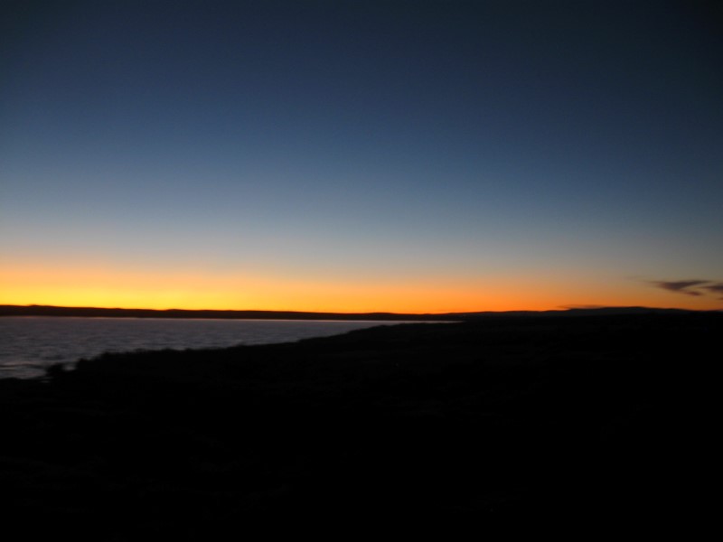
9/25/15 |
A motel in Tonopah, NV. |
On
The Way Here #1 |
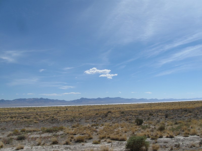
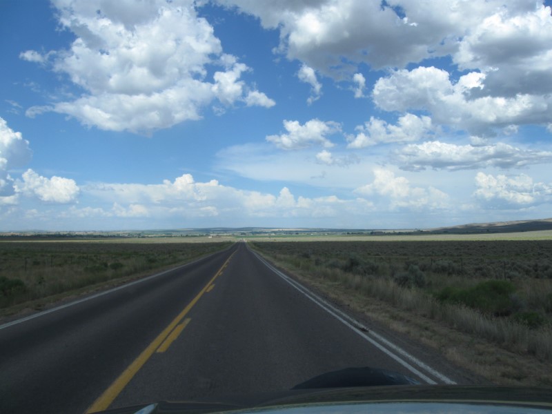
Yep, went for a motel tonight. No CGs around Tonopah and it was 110 more mi to Bishop where there were some. Too far in one day for me. That looong hot shower sure felt good the morning I left. :) I think this is only the 3rd in my 10 years of ramblin' I stayed in a motel while on my annual 3 mo trip to MT. As you can see from the pictures, pretty desolate country on today's drive. Still some interesting views, though. |
|
67 |
9/24/15 |
Ward Mountain (USFS). 7 mi SW of Ely, NV on hwy 6. 7300
ft. |
|
Very nice CG, with very well developed and equipped sites. 30 gravel sites on level ground in 2 widely separated loops. Plus, one other area with about 12 sites. Two group areas, also. Plenty of pinyon pines and junipers. Some slight hwy noise, but not bad. Less in Loop B, farther from the hwy. Various trails nearby. Fourth time here. $8 |
|
66 |
9/23/15 |
Oasis CG in Yuba State Park, UT. About 5 mi
S of I15 exit 202 (N of Scipio) on Old Yuba Dam Rd.
5000 ft. |
|
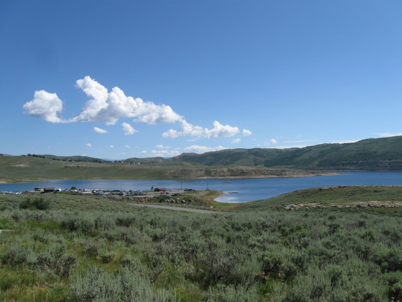
Very nice CG on the (low) Sevier Bridge Reservoir. 19 paved sites on sloping land. About 4 other small back-ins in a separate area by the lake. Some tall trees for possible shade, but all picnic tables have a shade covering. Picnic tables are on a concrete pad. Nice green grass areas scattered around. I had a fantastic view of the lake from my picnic table! Flush toilets and showers. $20 (or $25 w/elec.). |
|
65 |
9/22/15 |
Cottonwood CG in Rockport State Park, UT. From
I80 exit 155 (near Wanship, UT) go 5 mi S on hwy 32. 6000 ft. |
|
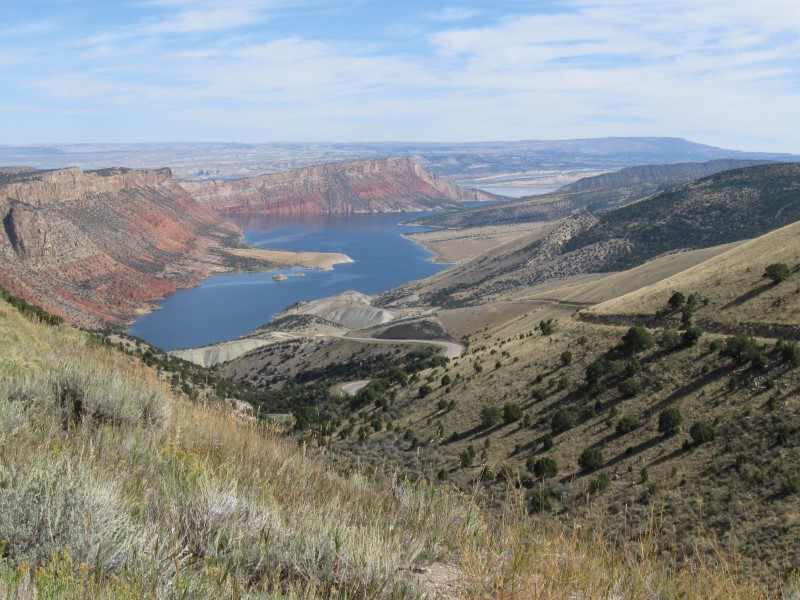
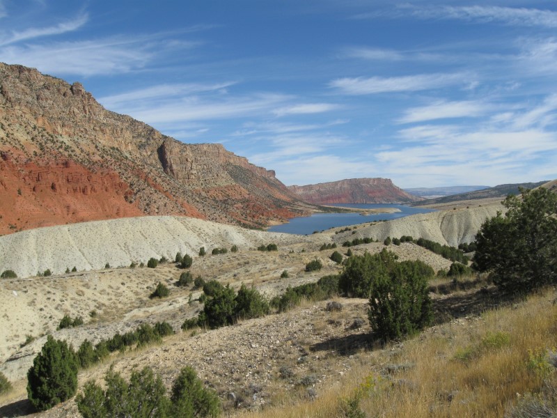
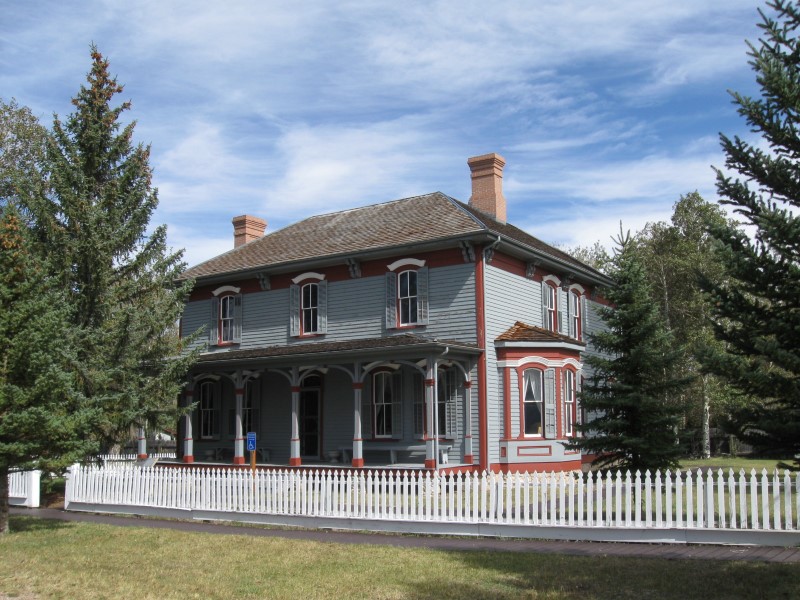
19 paved sites on level ground. Scattered trees. The small Weber River runs along one side of the CG, although trees block seeing it.. Hwy is the otherside of the river, so there'll be some daytime noise. More CGs in the park, including one with hookups. I took the first CG I came to, which is just inside the gate. Vault toilets. Priced to please at $12 (weekday rate; $15 wknd). On the way here I continued on a road around the W side of the Flaming Gorge area. Great views!! Also later visited the Historic Site in Ft. Bridger, WY. Nice museum there with other mid-to-late 1800s old buildings. |
|
64 |
9/21/15 |
Skull Creek CG (USFS) in Flaming Gorge National Recreation
Area. 12+ mi SW of Dutch John, UT on US191 and
hwy 44. 7400 ft. |
|
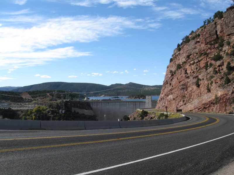
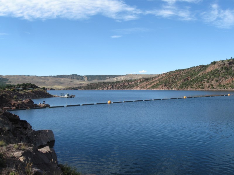
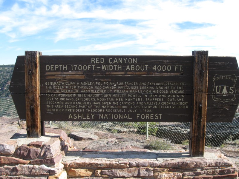
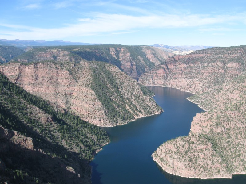
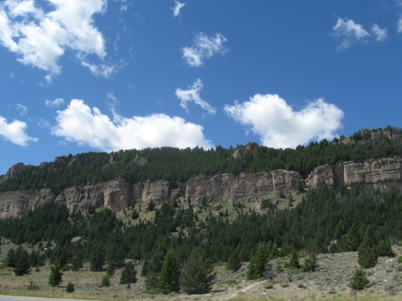
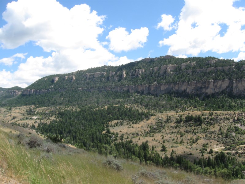
17 paved/gravel sites on sloping land. Plenty of pines and aspens. Just off the hwy, so expect some noise during the daytime. I was the only one here. Vault toilets. $10 (off season rate). Decided to detour from I80 and revist the beautiful Flaming Gorge area in UT. Was here in 2007. Fortunately, a few FS CGs were still open. The morning I left I visited the nearby Red Canyon Overlook. Wow! Don't miss it if you're near it. |
|
63 |
9/20/15 |
The Travel Camp in Green River, WY. About 3
mi NW of town on hwy 374. 6100 ft. |
|
Not sure how many sites total at this RV Park, but I'm in a section with 19 paved RV sites (w/full hookups) and 14 tents sites. The typical tight spacing for a place like this. No gov't campgrounds close by, so I had no choice. Clean restrooms. A few miles to town for stores & restaurants. Biggest downside is the noise from I80 (less than 1/4 mi away) and a very busy train track (about 3/4 mi away). Lots of interesting rock formations in view. $36 (w/hookups). |
|
62 |
9/19/15 |
Boondocking site (BLM) Not a developed campground. 1
mi S of Medicine Bow, WY on Medicine Bow McFadden
Rd, then 1 mi SW on gravel E Allen Rd (watch for public
access sign). 6500 ft. |
|
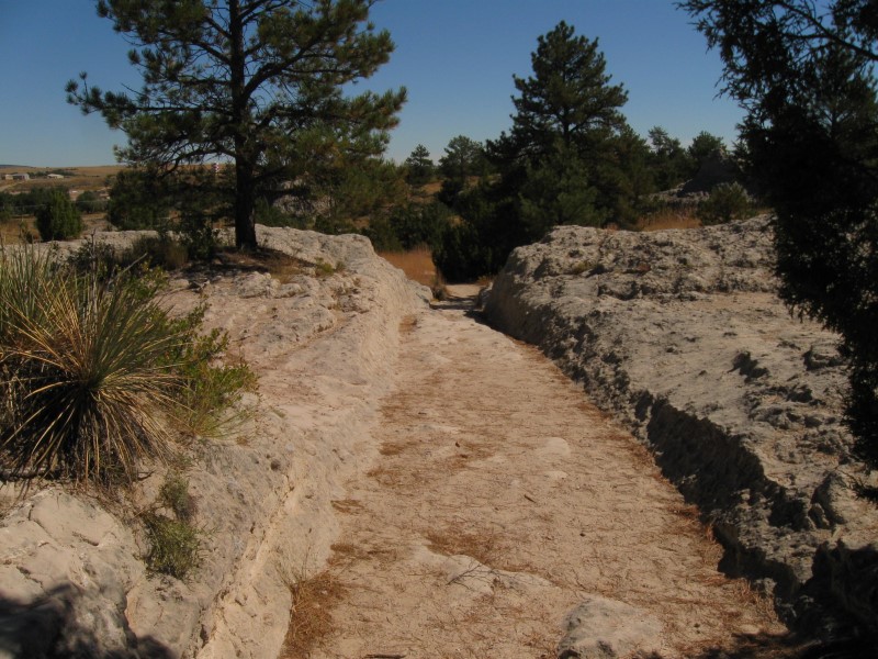
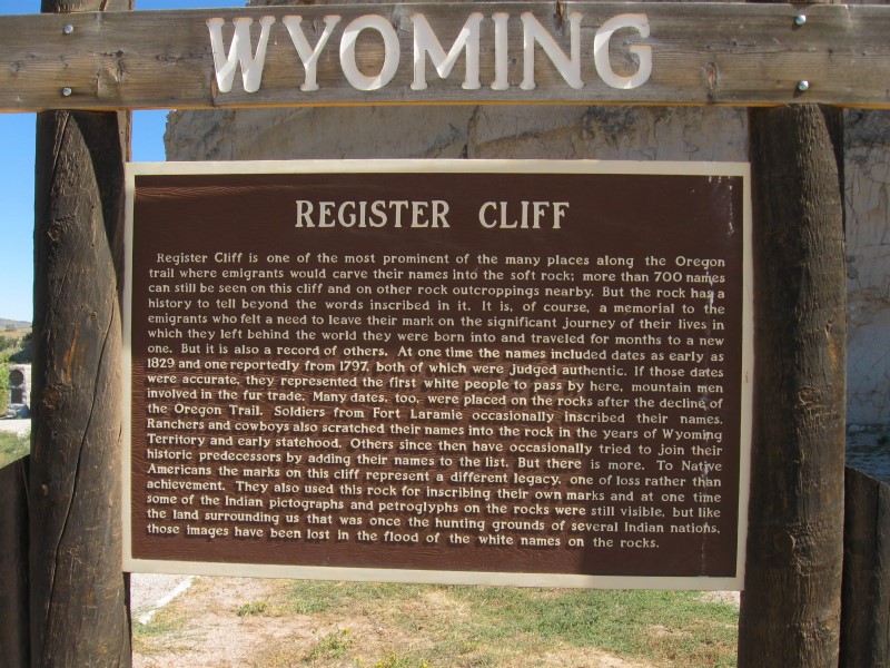
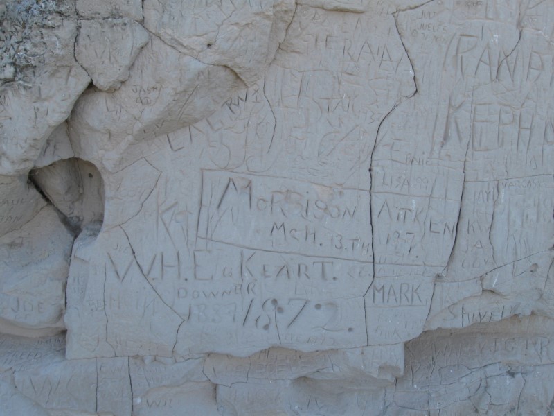
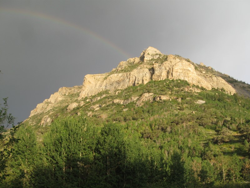
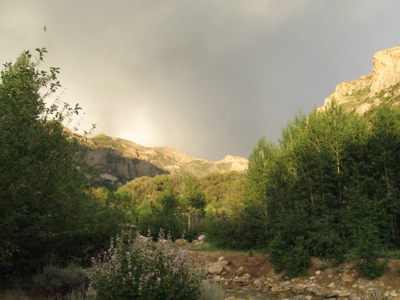
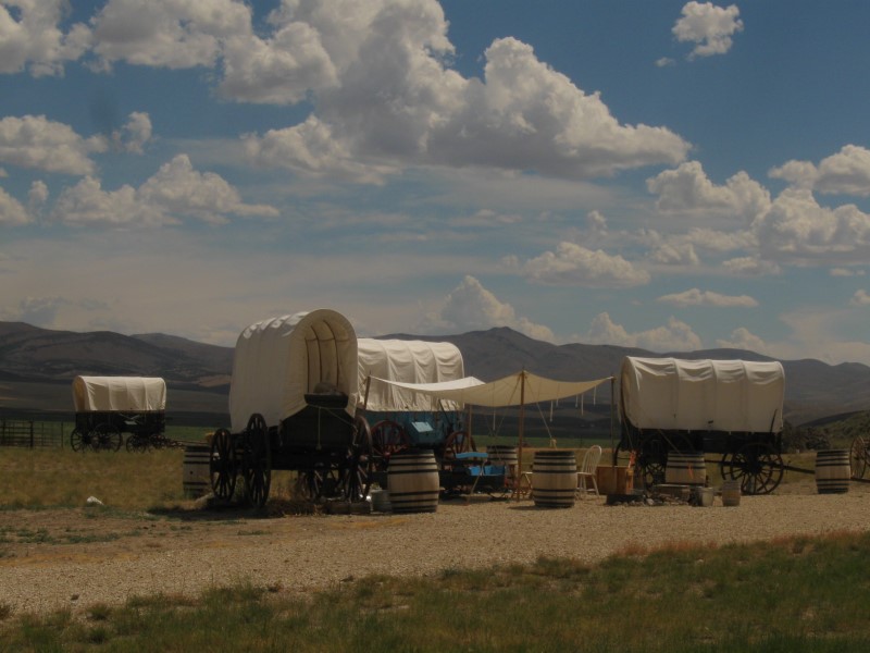
This was listed as a public access site for the lake. However, nothing here but an ancient privy. Sign said camping OK. Very desolate here and windy. However, it was very quiet at night (except for a choo-choo now and then). Low of 33F. The price was right, too, at $0. I took a detour on the way here to see some Oregon Trail historic sites near Guernsey, WY: Trail Ruts and Register Cliff. Hard to believe the ruts got that deep in rock. Sadly, Register Cliff has many carvings that are from 1900 to now. However, at the end of the cliff a fence protects the "real thing". |
|
61 |
9/18/15 |
Whiskey Gulch CG in Glendo State Park, WY. About
1-1/2 mi S of Glendo, WY on Glendo Park Rd. 4600 ft. |
|
Where I was there were about 12 gravel sites, but another section of the CG is close by. Also, many other CGs in the park. Lake very low, but someone told me that's normal for this time of year. Lots of tall leafy trees between my site and the lake. Didn't really know where I was going, since no map at unattended entrance station. Oh well, found a good spot, anyway. Low of 36F. Vault toilets. $17 (non-resident).
|
|
60 |
9/17/15 |
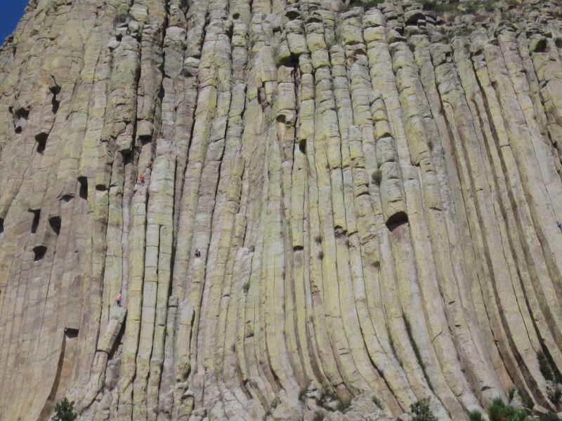
Elk Mountain CG (NPS). At Wind Cave National Park.
12 mi N of Hot Springs, SD on US385, then 1+ mi
W on Wind Cave Rd (go past visitor center) and campground
rd . 4300 ft. |
|
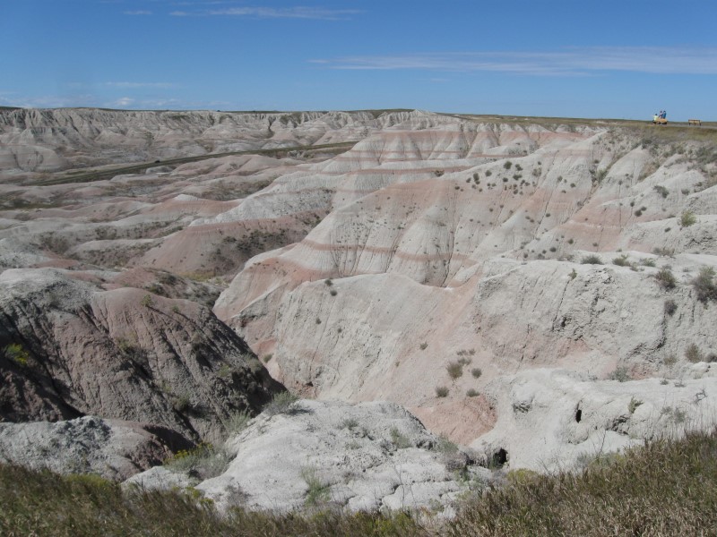
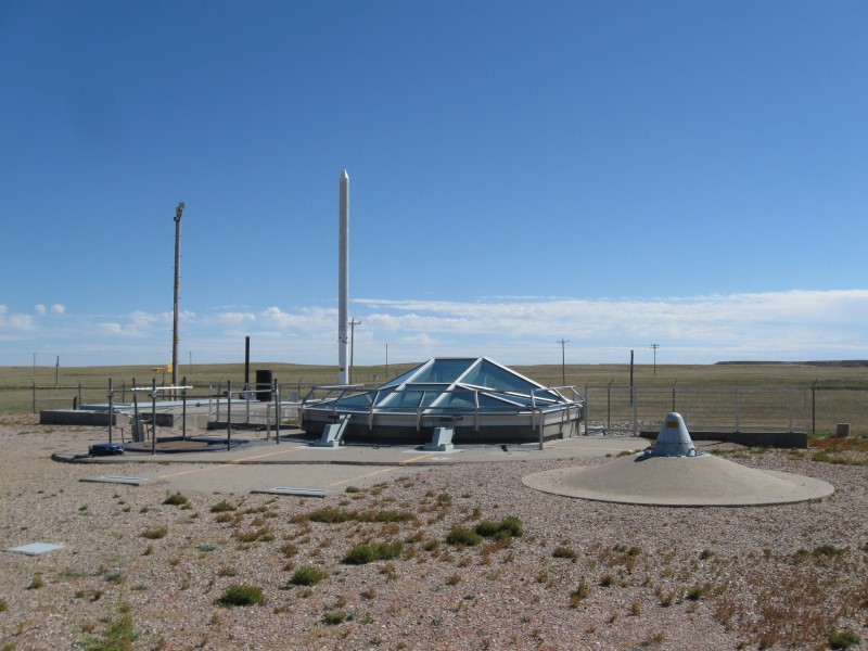
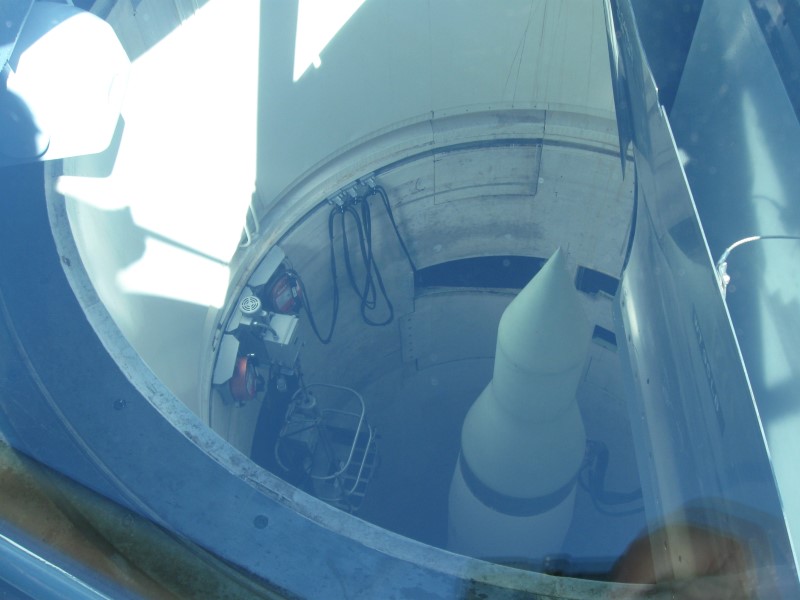
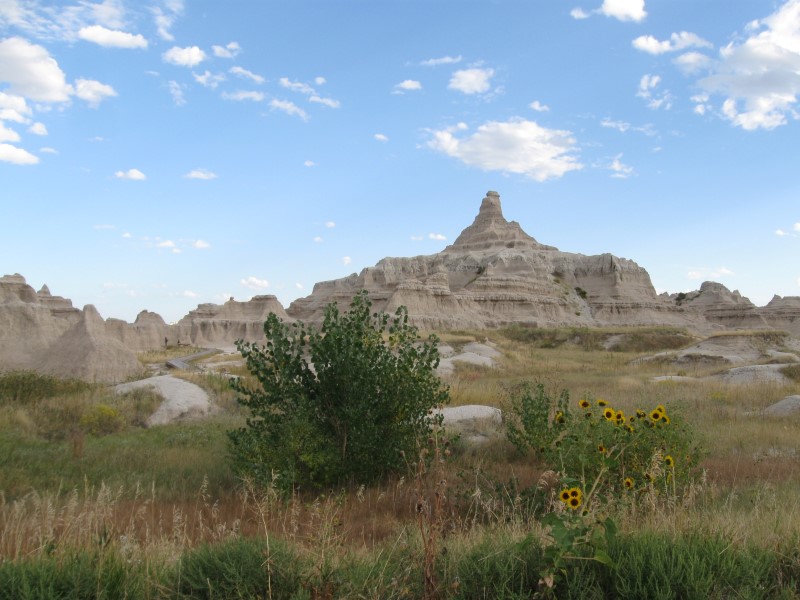
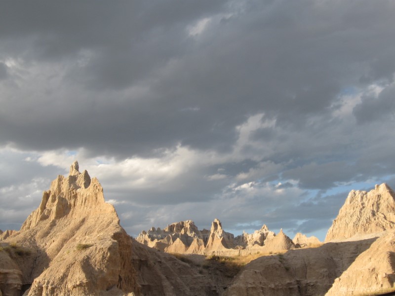
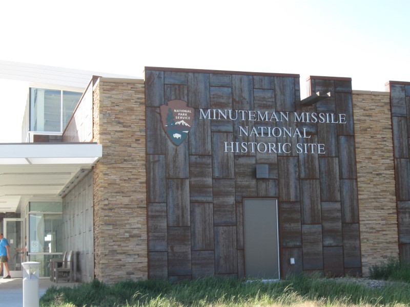
75 gravel sites on sloping and level land, Overall, the CG is spread out, even though some sites are close together, Shade varies from none to some. Visitor Center and cave entrance only 1/2 mi away. Flush toilets. $18. Today I took the "loop road" in Badlands NP from the Visitor Center to Wall and then visited the decommissioned Minuteman II missle site W of Wall. My last night in South Dakota. I've really enjoyed it here. Glad I came! |
|
59 |
9/16/15 |
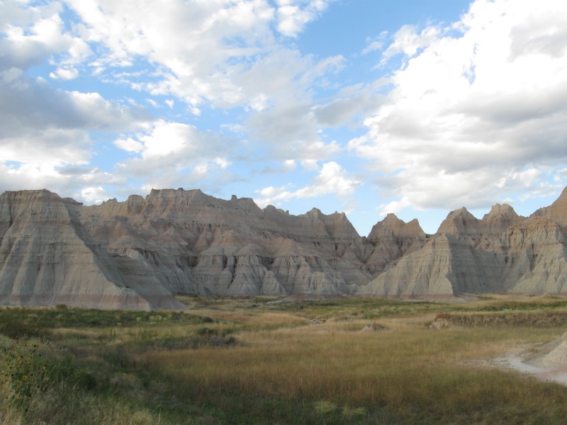
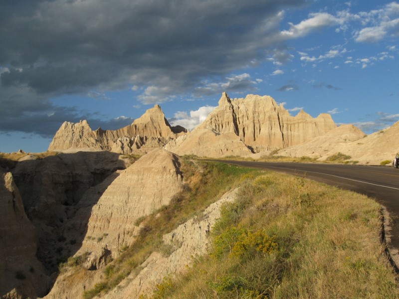
Cedar Pass CG (NPS) in Badlands National Park. From
Wall, SD go 20 mi SE on I90 and take exit 131 to Hwy
240. Go almost 9 mi S (past the Visitor
Center) to the CG. 2400 ft. The farthest point east I've ever camped (and probably ever will)! |
|
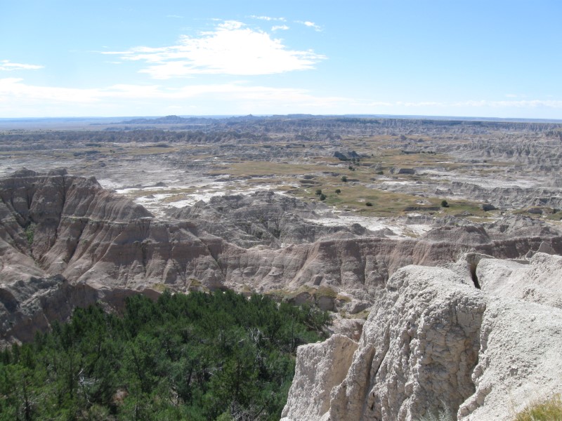
About 100 paved sites in 2 loops on level land. All sites are wide spots on both sides of the interior CG roads. Many sites are electric. Only shade is from structures over picnic tables. Nice view of rock formations from the CG. Dump station ($1). Flush toilets. $21 (w/o electric). On the way here I stopped at the famous Wall Drugstore in Wall, SD. Quite a place! Kind of like Knotts Berry Farm (in CA) w/o the rides. Also quite a story about its founding. What a change in the landscape from the Black Hills to here!! |
|
58 |
9/15/15 |
Whitetail CG (USFS). 15 mi NW of Hill City,
SD on paved CR308 & Deerfield Rd then 1 mi
N on gravel Whitetail Loop Rd. 6000 ft. |
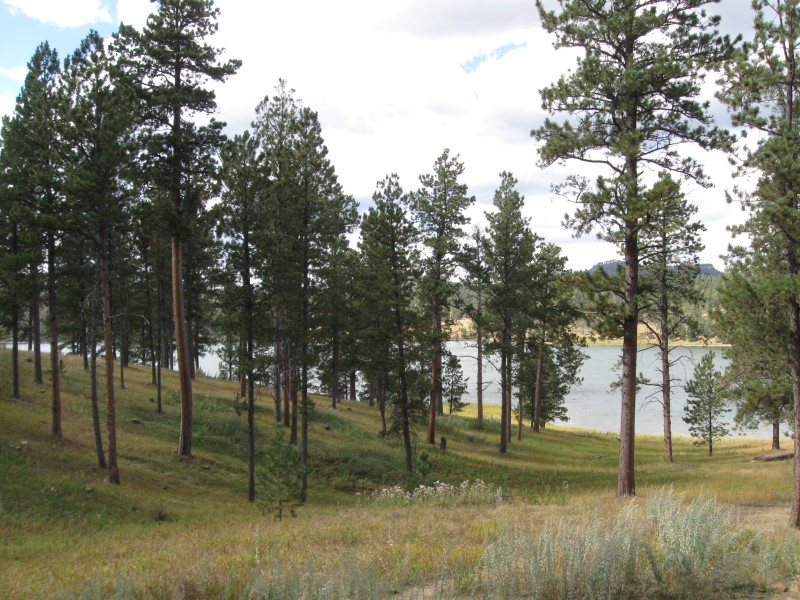
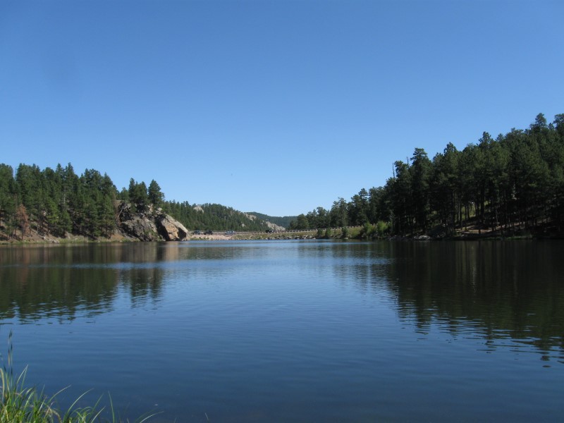
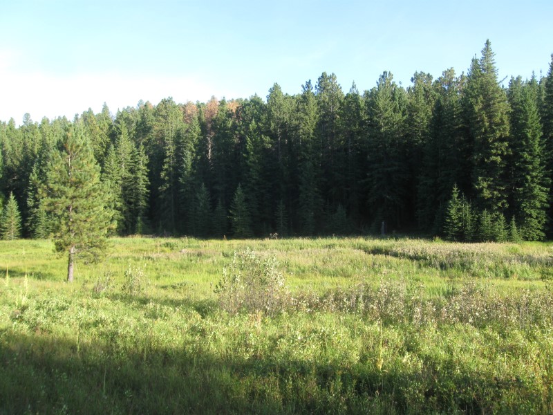
17 gravel sites in 2 loops on sloping land. Nice size Deerfield Lake at the bottom of the slope. Lake visible from some sites (like mine). Scattered tall pines mean scattered shade. Nice and quiet here (especially vs. last night). One of the nicer campsite views I've had this year. Old style pit toilets. $0 (off season rate). It was a bit windy today where I left and where I ended up. |
|
|
57 |
9/14/15 |
Oreville CG (USFS). 5 mi S of Hill City, SD
on US16. 5300 ft. |
|
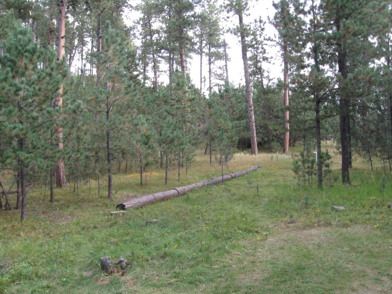
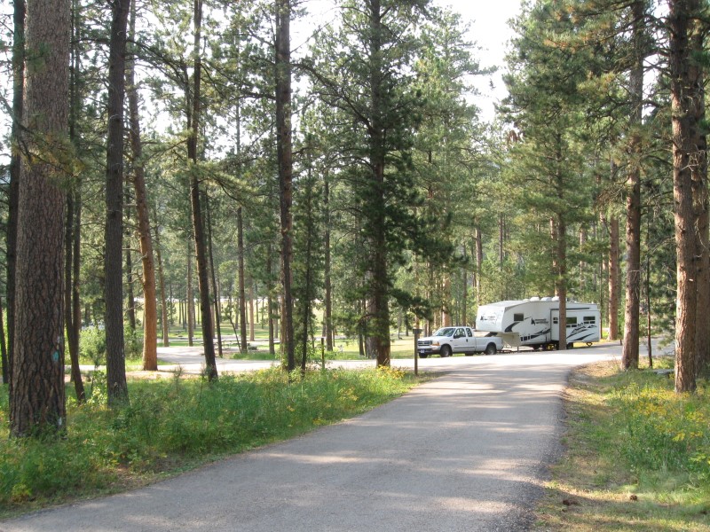
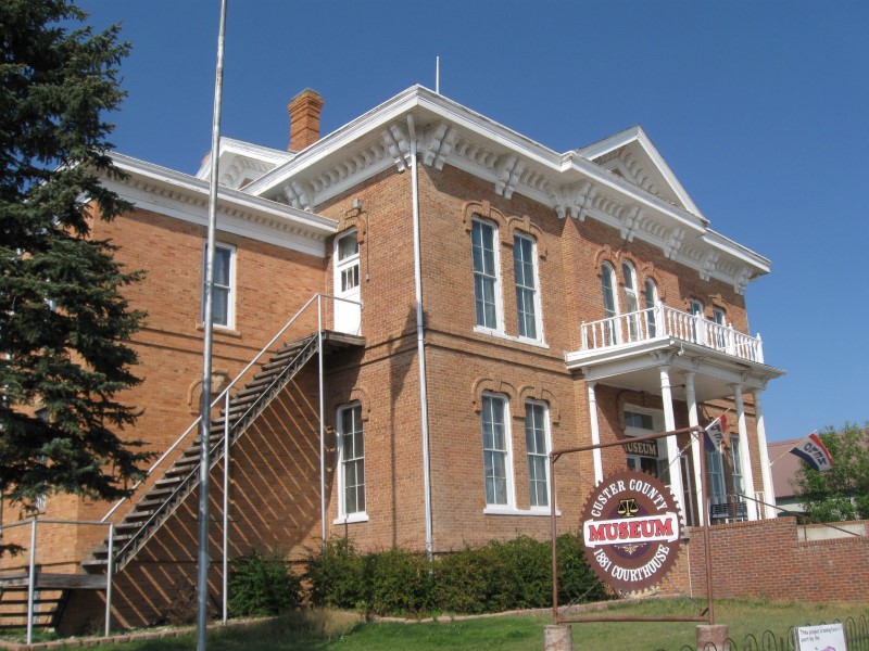
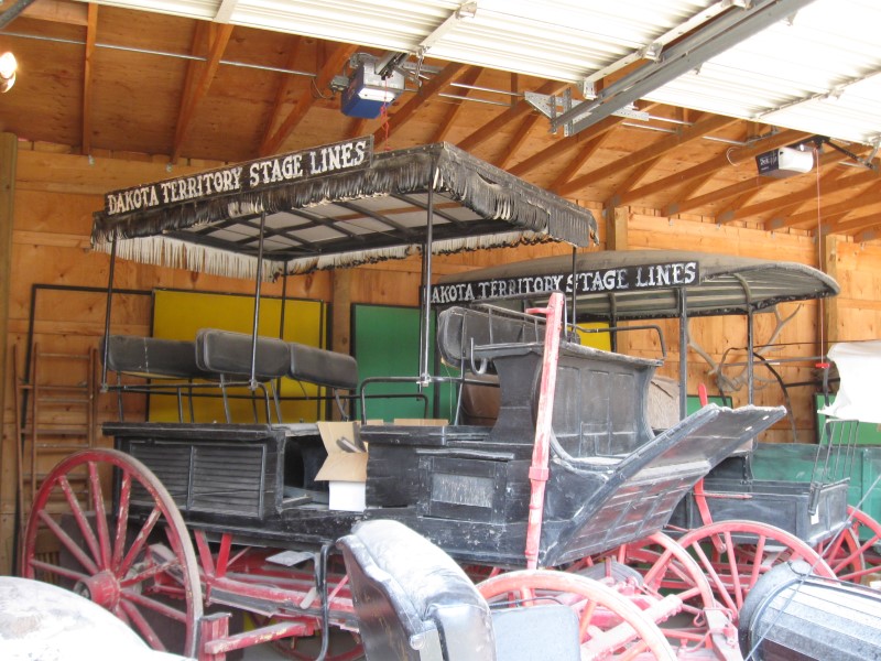
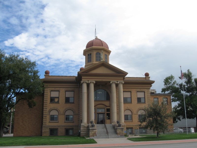
24 sites on sloping land. Sites well apart and either paved or gravel. Plenty of tall pines, aspens and other leafy trees. Very noisy from busy hwy alongside. Pavement seems to be of the type that really makes tires "whine". Try to get a site in the back (like I did), for somewhat less noise. Vault toilets. $10 (first day of off season rate). Spent a couple of hours browsing around Custer, SD. Really liked the old Courthouse Museum. Starting today the USFS closed a lot of CGs in the area. :( Fortunately, I got a list of those still open at the FS office when I was in Spearfish. Beats driving around to find an open one. :) |
|
56 |
9/13/15 |
Bismark Lake CG (USFS). 4+ mi E of Custer,
SD on US16A, then 1 mi N on Bismark Lake Rd. 5200 ft. |
|
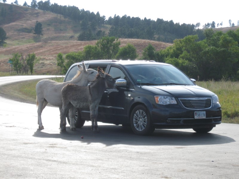
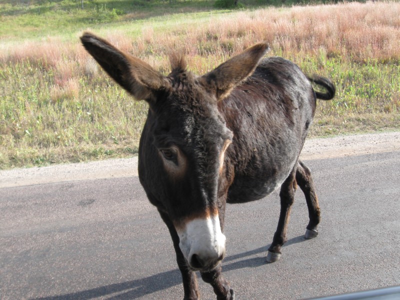
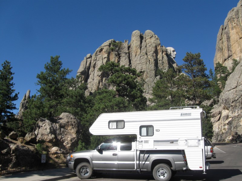
22 gravel sites in 2 separate sections. The biggest section, at the upper level, just closed for the season, so didn't see it. The section I'm in is on sloping ground and has 7 sites. The road through it leads to the lake. Plenty of tall pines and some aspens, also. Vault toilets. $24. Visited the Crazy Horse Mountain sculpture on the way here. Since you are viewing it from much further away than at Mt. Rushmore, it's not as visually impressive. It is, however, much larger than Mt. Rushmore. Also drove the Wildlife Loop Rd in Custer State Park. Only saw one antelope and several begging burros. Rats! |
|
55 |
9/12/15 |
Horsethief Lake CG (USFS). About 5 mi W of
Keystone, SD on US16A and hwy 244. 4900 ft. |
|
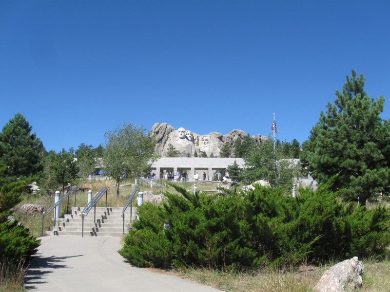
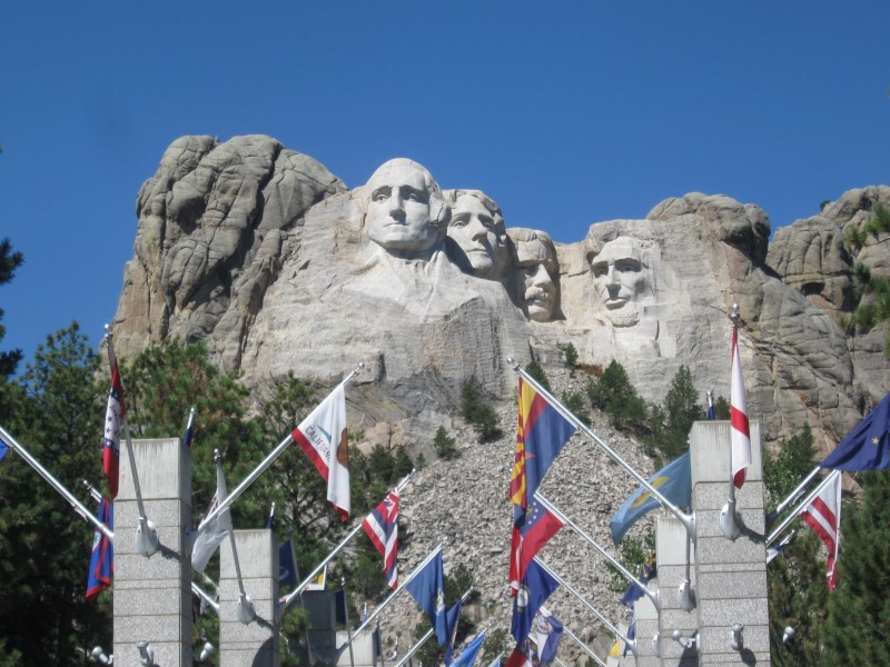
28 gravel sites in 2 separate areas. Most sites are in a "gulch", while about 6 are beside the lake. I got one of the lakefront sites! Lakefront sites have less shade than the others. Some daytime hwy noise, since the hwy to Mt. Rushmore (a few miles away) is across the lake about 1/4 mi. Vault toilets. $24. It was Sat night and only about 6 sites occupied. Guess people put away the camping gear after Labor Day in SD. Visited Mt. Rushmore today. Very impressive. Glad I decided to come to SD! |
|
54 |
9/11/15 |
Roubaix CG (USFS). About 15 mi S of Deadwood,
SD on US385, then 1+ mi SW on paved Roubaix Lake
Rd. 5500 ft. |
|
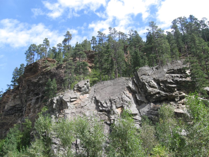
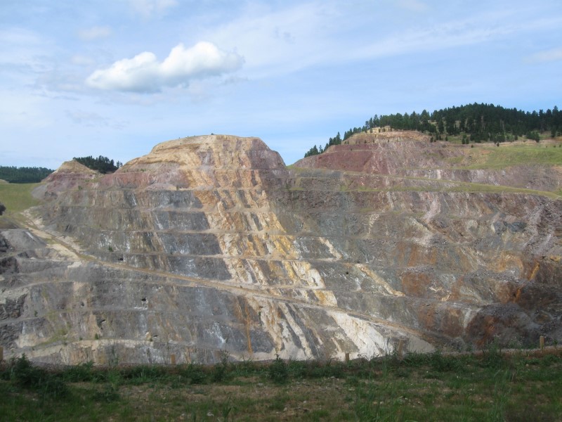
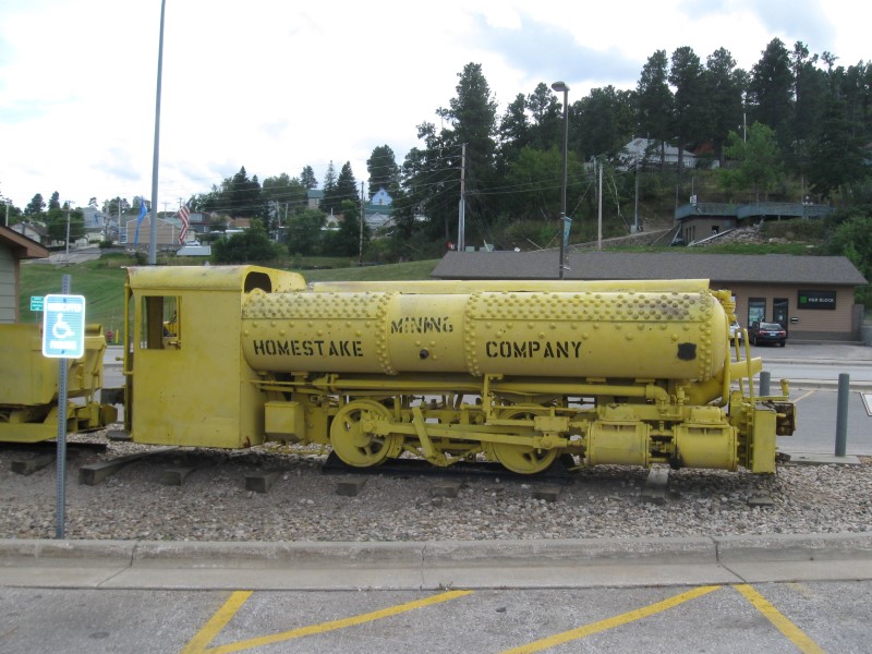
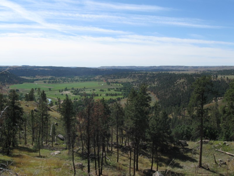
56 gravel sites on sloping land in 4 loops (2 closed). Small lake near the two open loops. The two closed loops are well separated from the others. More than the usual number of sites are meant for tents. Plenty of tall pines for shade. Nice meadow beside the loop I'm in. Saw deer feeding in it. Vault toilets. $20. Since it was late Friday afternoon when I arrived, I was worried about the place being full. Only 2 sites were occcupied in each loop (a few more the next a.m.)! The CG closes for the season after the weekend. On the way here I drove through scenic Spearfish Canyon and made short stops in Lead and Deadwood for some sightseeing. The Homestake Mining Visitor Center in Lead was interesting. |
|
53 |
9/9/15- |
Spearfish
City CG. In Spearfish, SD. 3700 ft. My first campsite in South Dakota and the first time I've ever been here in my life! |
|
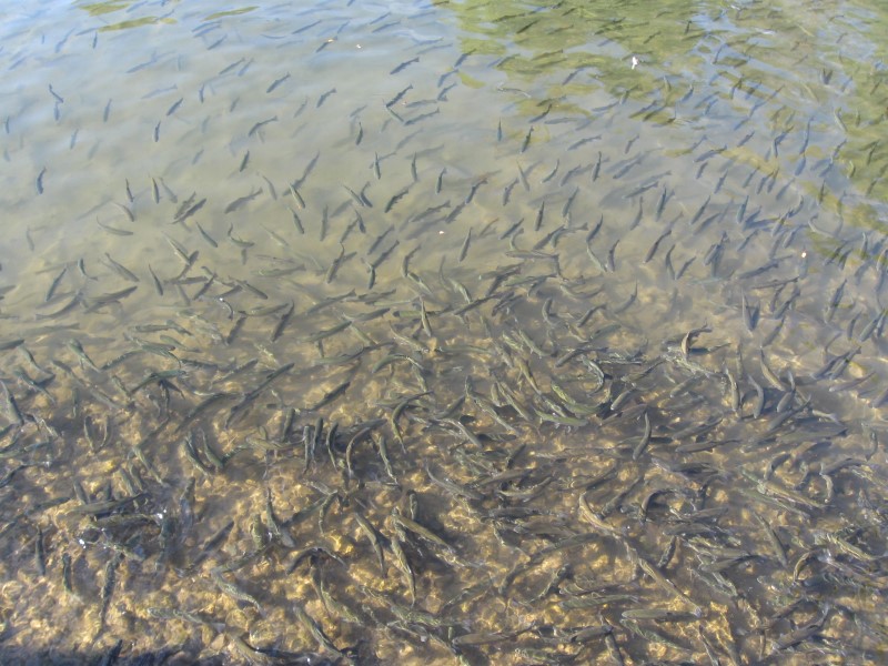
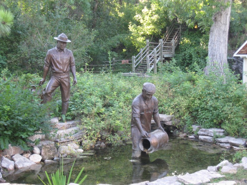
Nice CG with about 60 full hookup, gravel sites, on level land. These sites are in a grove of large trees for shade. There are many more unmarked sites on grass with less or no shade. Brochure says there are 150 of these "primitive" sites. I'm in one of these and backed up to nice creek. I like it! Besides being much cheaper, I'm not crammed next to a big rig. :) Free WiFi, flush toilets and showers. $20. The interesting and scenic D.C. Booth Historic Fish Hatchery is a short walk away. Also, a very nice City Park is close by. |
|
52 |
9/8/15 |
Belle Fourche CG (NPS). At Devils Tower National
Monument, WY. 3800 ft. |
|
Nice CG wiith 30 gravel sites in 2 loops on level land. All sites are pull-thrus that parallel the CG interior road. Belle Fourche River encloses the CG, but not really visible from the sites. Lots of tall, leafy trees for potential shade. About a 2 mi drive to the Visitor Center at the base of the tower. I think the place filled the night I was here. Flush toilets. $12. I took the 1-1/2 mi trail around the base of the tower the morning I left. |
|
51 |
9/7/15 |
Deer Park RV Park. In Buffalo, WY. 4500 ft. |
About 100 grass sites (some for tents) on level land. Quite a few trees for decent shade possibilities. Sites close together, as usual with these places. Luckily, I didn't have anyone in the site either side of me. Swimming pool & free WiFi. $32 (w/water and elec.). Don't usually stay in commercial RV parks, but had no choice today. No gov't CGs along my route when I wanted to stop. When I left, I visited the Jim Gatchell Memorial Museum in town. Lots of interesting info about the history of the area (Bozeman Trail, Johnson County War, etc.). |
|
|
50 |
9/4/15- |
Porcupine CG (USFS). 32 mi E of Lovell, WY
on US14A, then about 2 mi N on NF13 (good gravel road).
8800 ft. Note: About 8 mi of US14A are very curvy and steep (10% grade). |
|
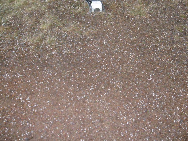
Very nice CG with 16 gravel sites (2 tent only) on level land. Sites are well developed, large and well apart. Plenty of pines for shade at some point in the day. Nice meadow view from some of the sites. Sites in the front wll get a bit of road noise from passing vehicles, including ATVs. The Medicine Wheel archeological site is only a few miles away. It required a 3 mi r/t hike at almost 10K ft, so I didn't take it. Vault toilets. $15. Had to leave first site after one night due to a reservation. However, as I was driving out I passed a site just vacated. Am I lucky or what? :). Hail storm came in 2nd afternoon and the low that night was 26F (40F in camper). Brrrrrr! Only 40F at noon the next day, with sunny skies. I'd love to have a small cabin with a view like I had out the backdoor of my camper at my 2nd site here. :) |
|
|
9/3/15 |
Same CG as 8/9/15 (Lovell Camper Park) |
Tomorrow I'm heading E into the Bighorn mountains and hoping to find a campground or boondocking spot for the holiday weekend. TBD. |
|
|
49 |
9/1/15- |
Big Rock CG ((Montana State Fishing Access). 3+
mi S of Big Timber, MT on Old Boulder Rd (mostly gravel).
4200 ft. |
|
About 5 primitive dirt sites on level ground beside the pretty Boulder River. Most sites are in the trees for some shade. Only 1 site beside the river, and I got it! Remote location, so nice and peaceful here. Caught a small trout on my flyrod. Had the place all to myself at night. Vault toilet. $0. Neat place, so I stayed 2 nights. |
|
|
8/18/15- |
Visiting my cousin in Dillon,
MT. |
Guide & My
Fish |
Had my usual great time visiting my cousin and his wife. Had 2 guided fishing trips and caught some nice fish. Was smoky/hazy skies until 2 days before I left and then I could see the usual beautiful mountain views. |
|
48 |
8/17/15 |
Palisades CG (BLM). 25+ mi S of Ennis, MT on
US287, then 1 mi W on paved, then gravel, road. 5600
ft. |
11 well developed gravel sites, far apart, on level land. Bring your own shade, cause zippo here. Most sites very close to the famous Madison River. Far enough from hwy for almost no noise. "Buffalo Jump" type cliffs across river. Was here in 2013 when it was 90F. Much, much better this time at 70F. $8. |
|
|
47 |
8/16/15 |
Bakers Hole CG (USFS). About 3 mi N of
West Yellowstone, MT on US191. 6500 ft. |
[forgot to take site pic] |
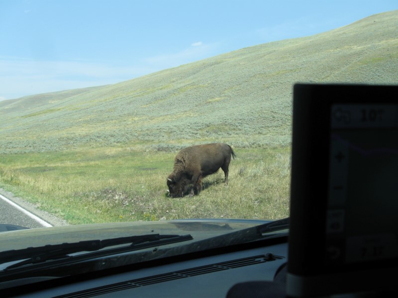
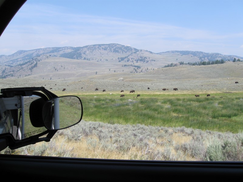
72 gravel sites on level land in 2 loops. Busy hwy on one side generates some noise. However, the beautiful Madison River is a short walk on the other side. Lots of tall, skinny pines. Very convenient to West Yellowstone and the West entrance of Yellowstone NP. Electric sites available. $16. I drove though a part of Yellowstone NP today to get here. Unfortunately, a fire somewhere made the sky hazy and decreased the beauty of the views. Oh well, did see quite a few buffalo. |
|
46 |
8/15/15 |
Boondocking site (USFS) Not a developed campground. About
15 mi SE of Cooke City, MT on US212 (aka Beartooth
Hwy), then N on dirt road to Lily Lake for 1.5 mi.. 7800 ft. Note: Dirt road is somewhat narrow and uphill 2/3 of the way. |
|
Figured I'd try another side road for boondocking. The best spots (away from the road) were already taken, so I was only 20 ft from the dirt road to a small lake. Occasional traffic, but not bad. From where I was, there were no other campers in sight. Sure quiet at night. A bit cool, too, with low of 32F. $0. |
|
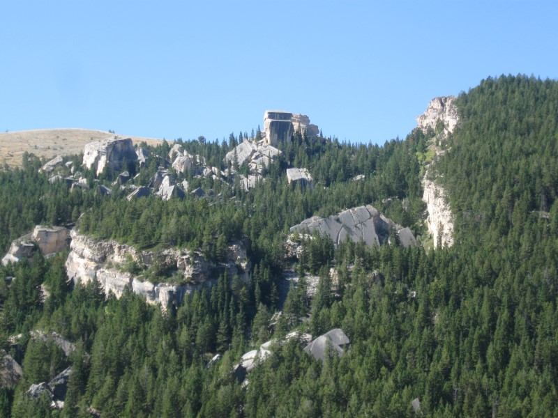
45 |
8/14/15 |
Boondocking site (USFS) Not a developed campground. About
28 mi E of Cooke City, MT on US212 (aka Beartooth
Hwy), then N on short, dead end dirt road. 9700 ft. Highest CG so far this year! |
|
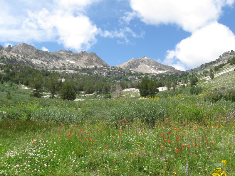
Tried 2 nearby FS CGs, but both were full. Searched for side roads and found this neat spot, primarily used as hiker parking. Looked like I was going to have it all by myself, but then a trailer claimed some of it. Oh well, at least they didn't park right next to me. :) Beautiful view of a small lake a couple of hundred yards away. $0. Today I drove a section of the gorgeous Beartooth Hwy from Red Lodge, MT to here. It's a must see if you're in the area. Highest elevation is almost 11K ft. |
|
44 |
8/11/15- |
Limber Pine CG (USFS). 12+ mi SW of Red Lodge,
MT on US212, then about 1 mi SW on Rock Creek Rd. 7100 ft. |
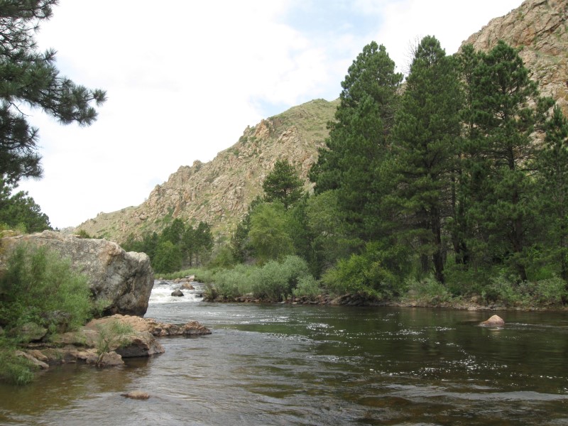
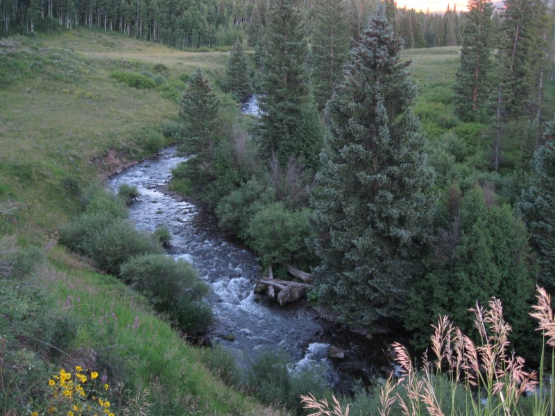
13 paved sites, well apart, in a single loop on level land. In a canyon for early and late shade. Also some shade from medium size conifers. Very nice, fast flowing Rock Creek along one side of CG. One other CG across the creek and a 2nd nearer the hwy. Vault toilets. $16. Caught a whopper 7" rainbow on my flyrod in the creek! |
|
|
43 |
8/10/15 |
Palisades CG (USFS). From Red Lodge, MT go
S 1+ mi on US212, then W on Ski Run Rd for 1+ mi, then
about 2 mi NW on Palisades CG Rd (last 1/2 mi
narrow dirt rd). 6300 ft. |
Secluded CG with 6 dirt sites, on sloping land. Not a place for big rigs. My 23 footer just fit into my site. Plenty of trees, but you'll probably still get mid-day sun. Lots of low vegetation. Very small creek runs through CG, but big enough to make nice music. Hiking trail to somewhere starts here. Vault toilets. A freebie from Uncle @ $0. My 4th straight night with a freebie CG. Yea!! :) |
|
|
42 |
8/9/15 |
Lovell Camper Park (City). In Lovell, WY. 3800 ft. |
About 15 dirt sites on level land. Hard to tell the amount, since what is a site isn't evident and there are no site numbers. Quite a few leafy trees for shade. Located between a quiet residential street and a ball field. Modern and clean restroom. Free dump station and water fill. Quiet at night (except for a nearby choo-choo once). One other site occupied. Great deal at the can't-get-any-lower price of $0!. It was a very scenic drive through the mountains today. As I reached lower elevation, the rock bluffs seemed more like UT or AZ than WY. |
|
|
41 |
8/7/15- |
Boondocking site (USFS) Not a developed campground. About
15 mi W of Buffalo, WY on US16, then right on
Circle Park Rd for 1/2 mi. 8000 ft. |
Checked 2 USFS CGs first and both were full. Was heading to a 3rd and then I spotted boondockers! Decided to join them. :) Two trailers were already in the area, but there was room enough for me w/o crowding them. In various areas, I saw trailers that were already spotted but nobody was around them while I was here. Guess people just leave them there for a while and use them when they want. I was only 40 ft from a dirt road that had some sporadic truck and ATV activity, but it was still enjoyable here. Especially at $0. Decided not to chance finding all CGs full on a Saturday, so I stayed here 2 nights. Used Saturday to catch up on camper cleanup. Had an Internet connection via a nearby cell tower, so that helped pass the time, too. Rained some on Sat afternoon, so I took a snooze. :) |
|
|
40 |
8/6/15 |
Casper
Mountain CG (County). About 12 mi
S of Casper, WY via steep and curvy Hwy 251. 8000 ft. Note: I didn't take the above route to get there. I was coming from the S and my GPS routed me via a dirt road N to the CG. Saw some nice red rock as a result. |
|
Not your typical CG. This is a large county park with camping in more than one area. Not sure how many sites, but an older book I have says 150. The official site doesn't say. I was in #61 in the Tower Hill area. Site was gravel in a dense stand of pines and aspens. Sites were well apart. Quiet, except for a nearby ATVer cruising around some for while. Even though not a typical CG, I enjoyed it here. Up high too, where it's cooler. $10. |
|
39 |
8/5/15 |
Willow CG (USFS). 32 mi W of Laramie,
WY on Hwy 230, then about 1 mi NW on paved Barber
Lake Rd. 8600 ft. |
|
16 gravel sites on level land, in 2 sections. A single lane paved road has sites on both sides for the front section. The back section (another 100 yards, or so) is a cleared, loop area. Lots of conifers and aspens. Small creek beside CG, but you can't see it for the trees/bushes. Not a good place for big rigs. Most of the campers were tenters. Vault toilet. $10. Today I drove the beautiul Snowy Range Road, peaking at 10,487 ft. Incredible views. I passed on 2 campgrounds with open sites that were at 10,700 ft. and decided for something lower (with more oxygen). |
|
38 |
8/4/15 |
Lincoln Park CG (USFS). 20 mi S then E of Saratoga,
WY on Hwy 230, then about 3 mi N on gravel N Brush Creek
Rd. 8000 ft. |
|
12 gravel sites on level land (1/2 closed temporarily due to road damage). A couple of sites (mine included) have no shade. Most others have at least some. Alongside a dirt road that leads to a lake and popular boondocking areas. Therefore a bit of traffic, includng ATVs. Peaceful at night, though. Small creek runs through the CG. Friendly and helpful CG host. Vault toilet. $10. |
|
37 |
8/3/15 |
Big Bend CG (USFS). 50 mi NW of Fort Collins,
CO via US287 and Hwy14. 7700 ft. |
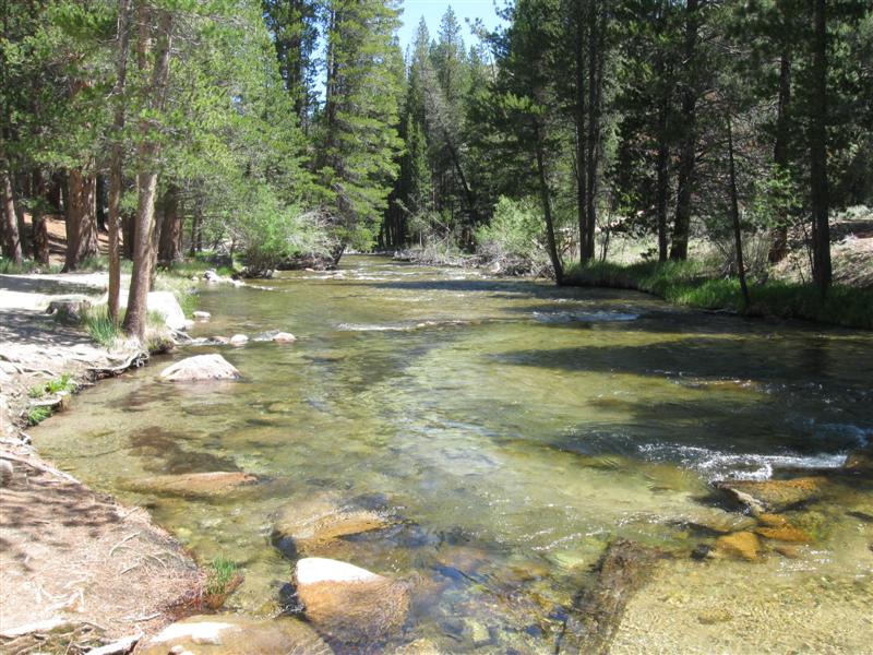
8 gravel sites on level land (2 tent only). The beautiful Cache la Poudre River is only about 50 ft from most sites. Sites will have sun until late afternoon. Far enough from the hwy that you won't hear cars, but may hear trucks/motorcycles a bit. Nice meadow between sites and hwy. Vault toilets. $15. Tried flyfishing here and the last site. No luck. :( Rained a good bit at night. First time in a while. Very windy the next morning. |
|
|
36 |
8/2/15 |
Ansel-Watrous (Lower) CG (USFS). About 23 mi NW of Fort Collins,
CO via US287 and Hwy14. 5700 ft. |
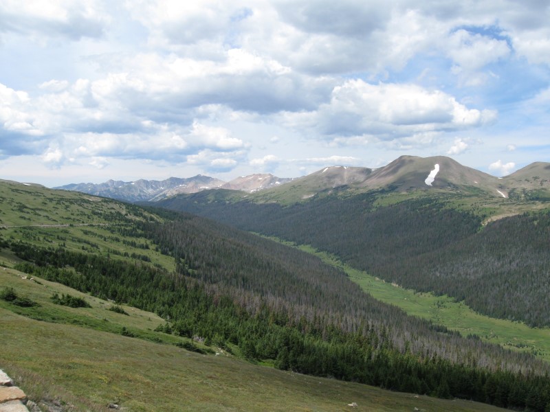
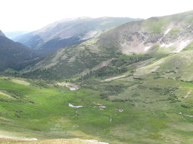
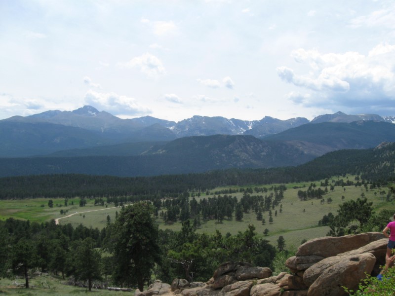
7 gravel sites on level land. Alongside the very scenic Cache la Poudre River. Nice rock bluffs across the river. Sites by the river have some shade, the rest don't. Also alongside a fairly busy hwy. However, the CG is about 20 ft below the hwy level, which lessens the noise a bit. Vault toilets. Note: The Upper section of this CG is just up the road and has 7 sites that are all by the river and have more shade than here. $19. Today I drove from the W side of Rocky Mtn NP (RMNP) to Estes Park, on the E side. Wow, what scenery!! Was here in 2008, but forgot how beautiful it is. The highest road point was 12,183 ft! (Where's my oxygen bottle?) |
|
|
35 |
7/30/15- |
Timber Creek CG (NPS) in Rocky Mountain National
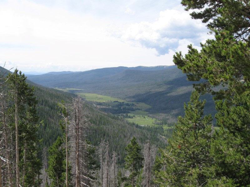
Park. 10 mi N of Grand Lake, CO on US34. 8900 ft. |
|
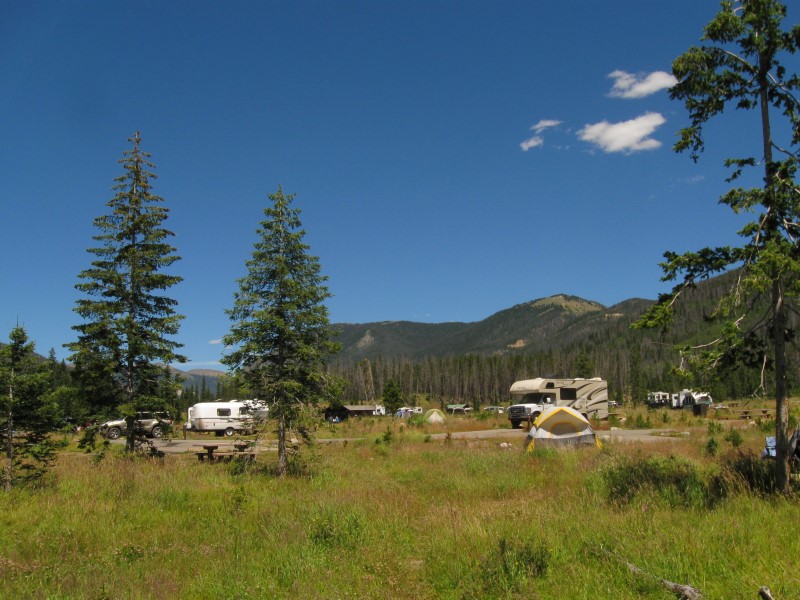
100 gravel sites on level land. Some sites are tent only, but all of the others also have gravel tent pads. Hardly any trees, due to the dern pine beetle. Trees died years ago and were cut down. Right by busy US34, so there will be hwy noise. Flush and vault toilets. Dump station. $20. This is the only RMNP campground that wasn't full when I arrived (it doesn't take reservations). I came by here in 2008 and the CG was closed while the dead trees were being cut down. My campground neighbors for all 3 nights were a very nice Canadian couple. They've done a lot of ramblin', too. Was enjoyable to chat with them in the evening. |
|
34 |
7/29/15 |
Boondocking site (USFS) Not a developed campground. About
4 mi on paved and dirt CR-4 from US34 near Lake
Granby, CO. 8700 ft. |
In a large clearing, obviously used before. Just off the dirt road. Quite a few ATVers went by, so not total peace and quiet during the day. Probably lots more on a weekend. At least no noisy CG neighbors. Not particularly scenic, but can't complain at $0. |
|
|
33 |
7/28/15 |
Stillwater CG (USFS). About 9 mi NE of
Granby, CO on US34. 8300 ft. |
Big CG with 120+ well developed gravel sites on hilly land. Bring your own shade, since hardly any trees. However, the view makes up for it! Many sites look out across beautiful Lake Granby with mountains on the other side. Unfortunately, the trees aren't all green, due to that dern beetle, but the view is still very scenic. Free-for-campers dump station. Flush toilets. $22. |
|
|
32 |
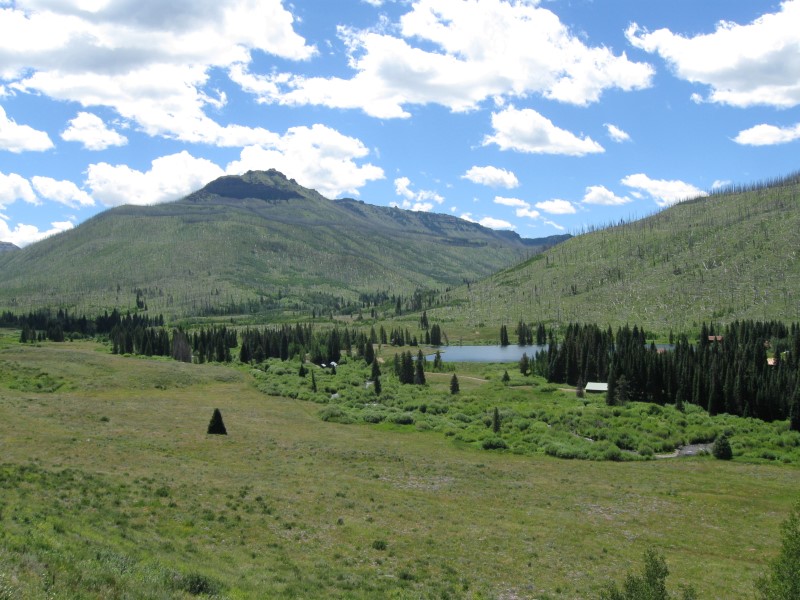
7/27/15 |
Meadows CG (USFS). 15+ mi SE of Steamboat Springs,CO
on US40. 9200 ft.
|
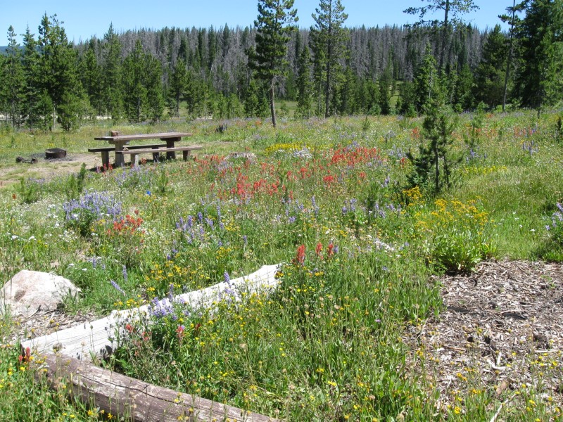
31 gravel sites in 2 loops on slightly sloping land. A few sites tent only and some others will need leveling blocks for RVs. Quite a few tall conifers, but several sites have no significant shade. Just off US40, but noise is not bad Very nice meadow when entering CG. Pit toilets. $10. Spent 1/2 day in nearby Steamboat Springs for laundry and haircut. Tried a nearby small USFS CG, but it was full. Decided to head out vs. stay at KOA and see more of town. |
|
|
31 |
7/26/15 |
Boondocking site (USFS) Not a developed campground. About
14 mi NW of Yampa, CO, on paved and gravel roads that
are part of the Flat Tops Scenic Trail. 9000 ft.
|
|
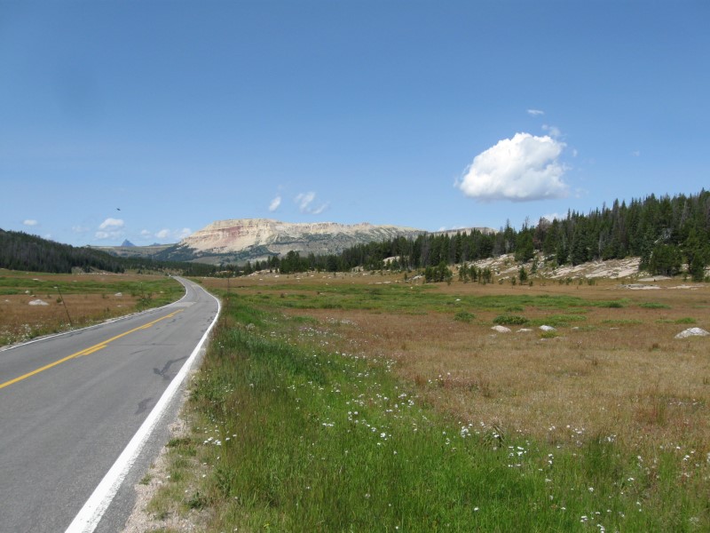
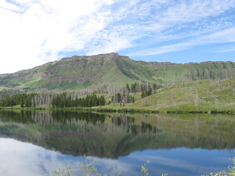
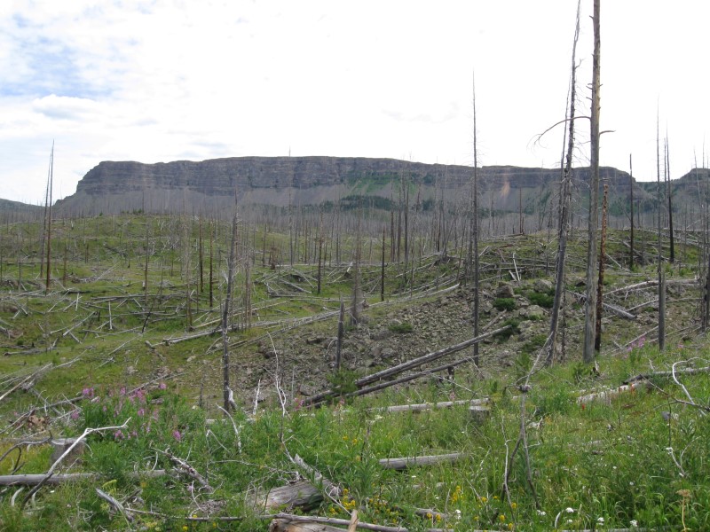
Just off CR-8 in a clearing. A line of tall trees block seeing the road, but you'll hear any cars passing. Fortunately, this is in the boonies and not many go by. The usual boondocking rate of $0. Crossed over 10,300 ft. Ripple Creek Pass today. This CG was my last stop on the beautiful Flat Tops Scenic Trail. 83 miles of beauty (about 2/3 good gravel, the rest paved). The ends are farming/ranching country, while the middle is high elevation forest with great views. I recommend you take it if you're in the area. |
|
30 |
7/25/15 |
Himes Peak CG (USFS). About 40 mi E of Meeker,
CO on CR-8 then 4+ mi SE on gravel CR-155. About
1/4 mi of somewhat steep, one lane dirt road. to reach CG.
8800 ft. |
|
11 dirt+grass sites on level land in a single loop. Many tall aspens trees, but several sites are full sun (mine is an exception). The White River is about 1/4 mi away, but not easy to access. Annoying flies & skeeters. Only 2 other sites occupied. Vault toilets. $15.
|
|
29 |
7/24/15 |
East Marvine CG (USFS). 28 mi E of Meeker,
CO on CR-8 then 6+ mi SE on CR-12. 8100 ft. |
|
7 dirt+grass sites on sloping land. A mix of aspens and tall conifers provide some shade to most sites. Fast flowing mountain stream provides music, even though it's about 50 yards away. Annoying flies & skeeters. Only one other site occupied. A larger CG is about 1/2 mi at the end of the road. These 2 CGs are popular with horse people, since they have corrals. Vault toilets. $13. |
|
28 |
7/23/15 |
North Fork CG (USFS). 33+ mi E of Meeker, CO
on CR-8. 7800 ft. |
28 dirt+grass sites in a single loop on sloping land. Sites are on the primitive side. Lots of trees & bushes, but not tall enough for much shade. Tall grass around each site. Narrow interior dirt road. Hill covered with tall conifers across the road. Little noise from the road. Only one other site occupied. Vault toilets. IMO overpriced at $22. I'm taking the 80+ mile Flat Tops Scenic Trail from Meeker to Yampa, with several stops. Today I passed through a beautiful valley with farms and ranches. |
|
|
27 |
7/21/15- |
Rangely Camper Park CG (County). In Rangely,
CO. 5200 ft. My first camping in Colorado since 2008. |
|
Nice little CG with 23 paved sites on level land. Plenty of cottonwood trees for shade in most sites. Clean, modern bathrooms that include showers. Large grassy park area to the rear of the camping area. Behind that is the medium size White River. On the edge of town for easy access to shopping and dining Free-to-campers dump station. $15 (or $20 w/elec). I decided to take a day off from driving and stayed 2 nights. Did some camper cleanup, computer work and pickin' on my mandolin. After leaving my 7/20 CG, I visited the Dinosaur NM fossil exhibit. After that I drove into the Colorado side of the NM and viewed the canyons. About 70 mi r/t from US40. A lot of driving for about 6 scenic lookout points. |
|
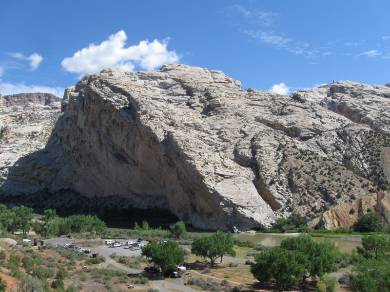
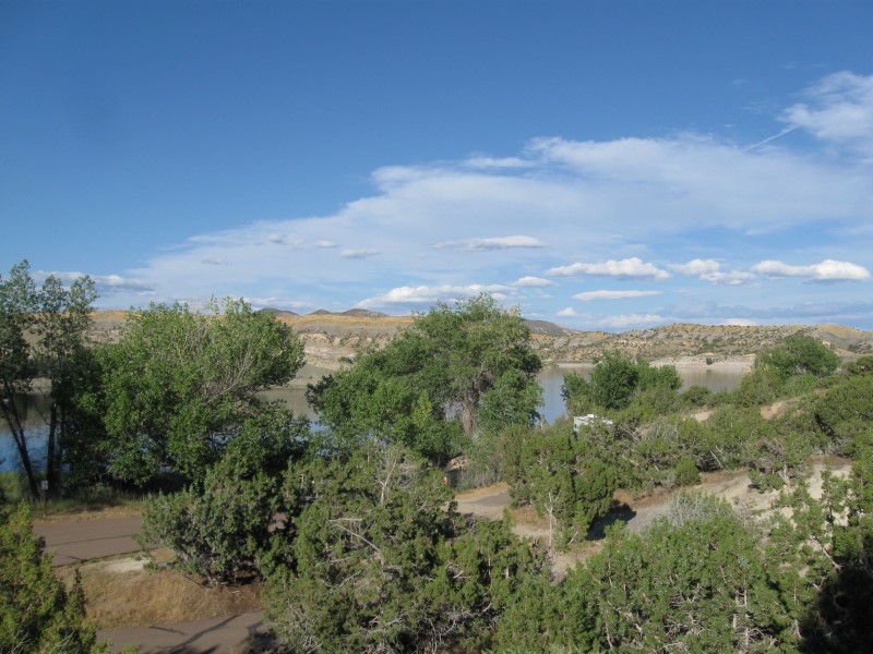
26 |
7/20/15 |
Green River CG (NPS) in Dinosaur National Monument.
10+ mi N and E of Jensen, UT on hwy 149. 4800 ft. |
|
83 paved sites on level land. Scattered large cottonwood trees for possible shade. The murky Green River is alongside, but not visible from sites, due to bushes. Short walk to it, though. Interesting mountains across from it. Flush toilets. $12. It rained lightly for most of the night. Most of the days in the last 2-1/2 weeks of travel have had at least a bit of rain. |
|
25 |
7/19/15 |
Steinaker State Park CG. 5+ mi N of Vernal,
UT on US191, then 2 mi SW on hwy 301. 5500 ft. |
|
31 paved sites on varying terrain near a large reservoir. Some sites have shade from large cottonwood trees. The short junipers don't provide much for other sites. Sun shelters over some picnic tables. Boat ramp. Very reasonably priced at $15. I chose my site based on view. Probably should have done it based on shade. Was very sunny and my camper remained hot inside for quite a while. |
|
24 |
7/18/15 |
Soldier Creek CG (USFS). On Strawberry Reservoir.
32+ mi SE of Heber Springs, UT, on US40 then 2+
mi S on dirt road (watch for CG sign on US40) 7600 ft. |
|
160 paved ites in two well separated areas, with about 80 sites each. The area I was in is on sloping ground. Nice view of the lake from the top of the CG. Little shade in most sites, except from shade structure over picnic tables. Little site privacy, due to lack of bushes.. A few sites (like the one I was in) are cut into an aspen grove for more shade and privacy. Flush toilets. $20. |
|
23 |
7/17/15 |
Boondocking site (USFS) Not a developed campground. 31+ mi S of Evanston,
WY on hwy 150, then 1+ mi on dirt (with potholes) Christmas Meadows
Rd. 8600 ft. |
Nice previously used site just off a dirt road to a CG. Can't see the road, but can hear some traffic on it. Good size clearing in the woods with a hill behind it. Found this site just by driving the road and looking for turnoffs. Later in the day someone else camped nearby, but can't see them. Low of 35F. Can't beat $0. Leaving this area Saturday and going towards Kamas, UT, I went over a 10,700 ft pass! |
|
|
22 |
7/16/15 |
Stillwater CG (USFS). 31+ mi S of Evanston,
WY on hwy 150. 8500 ft. |
Nice CG with about 19 gravel sites on level land. The Bear River (small at this point) runs alongside the CG. A mix of confiers and aspens provide some shade to most sites. Sites are usually well separated. Interior dirt road rather rough. Vault toilets. $18. I lucked out and got a great site: large, not close to any neighbors and a nice view of the river. I was in this area in 2013 and wanted to visit it again. Hwy 150 is loaded with USFS CGs and boondocking spots! |
|
|
21 |
7/15/15 |
Montpelier Canyon CG (USFS). About 3.5 mi E
of Montpelier, ID on US89. 6200 ft. |
|
16 gravel sites on level land. Most are primitive, although I got one that is better than others. Definitely not up to the typical standards of the FS CGs I've been in. Lots of bushes for site privacy, though, and blocking the view of the hwy alongside the CG. The hill behind the CG is loaded with tall conifers. Small creek runs through CG, but hard to see due to the bushes. Several rabbits and some skeeters. Old style pit toilet. $8. |
|
20 |
7/14/15 |
Boondocking site (USFS) Not a developed campground. About
53 mi N and E on ID34 from Soda Springs, ID. 5800 ft. Note: No campground sign, so watch for a small road on your right. |
|
This used to be Tincup CG, but the FS took out the toilet and left the picnic tables and fire rings. 4 small gravel sites in a tight circle on level land. Lots of leafy trees and bushes for shade. Tincup Creek only about 20 ft from my site and provided some nice music. Right beside a state hwy, but not much traffic or noise. The price is right at $0. Stopped in Soda Springs, ID on the way. Got to see real Oregon Trail wagon tracks (from mid 1800s) outside of town and also the town geyser, that is controlled to spew on the hour. Very convenient for tourists, like me. :) The scenery driving here was just beautiful. Green, green Idaho farming fields and tree covered mountains in the background. Wow! |
|
19 |
7/13/15 |
Redpoint CG (BLM). 9+ mi NE of Preston ID on
hwy 36, then 4 mi N on gravel Oneida Narrows Rd. 4600 ft. |
9 gravel sites on level land. Alongside the nice Bear River. Lots of leafy trees for good shade possibility in sites. The river appears to be popular with floaters. Saw a truck with several innertubes in the back. Off the beaten path, so nice and quiet at night. Vault toilets. $5. |
|
|
18 |
7/12/15 |
Curlew CG (USFS) in Curlew National Grassland (ID). About
8 mi N of Snowville, UT on paved Holbrook-Stone Rd and gravel
sideroad.
4600 ft.
|
|
14 gravel sites on level land, in 2 widely separated areas. Picnic tables have shade shelters. Next to narrow Stone Reservoir, which was very active Sunday afternoon with jet skis. Basically you're in farming country, so it's very peaceful at night. Vault toilets. $10 The friendly CG host showed me his yellow Missouri Primrose flowers (aka 8 O'clocks). They bloom at nightfall and open in less than a minute, right before your eyes. One of nature's wonders! After leaving yesterday's CG, I went to the nearby top of Mt. Harrison at 9200 ft. Wow, what a spectacular 360 degree view!! |
|
17 |
7/10/15- |
Lake Cleveland CG (USFS). 15+ mi from Albion
ID on paved Howell Canyon Rd. 8200 ft.
|
|
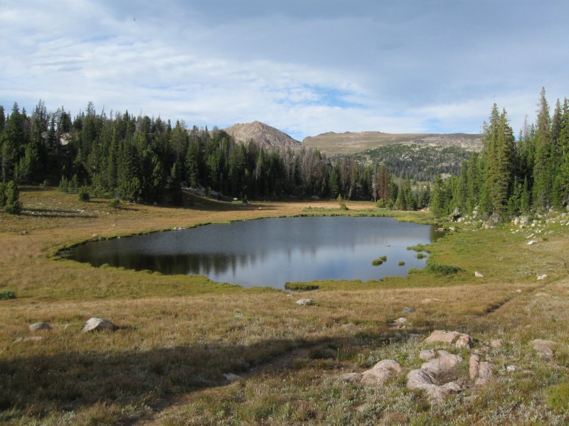
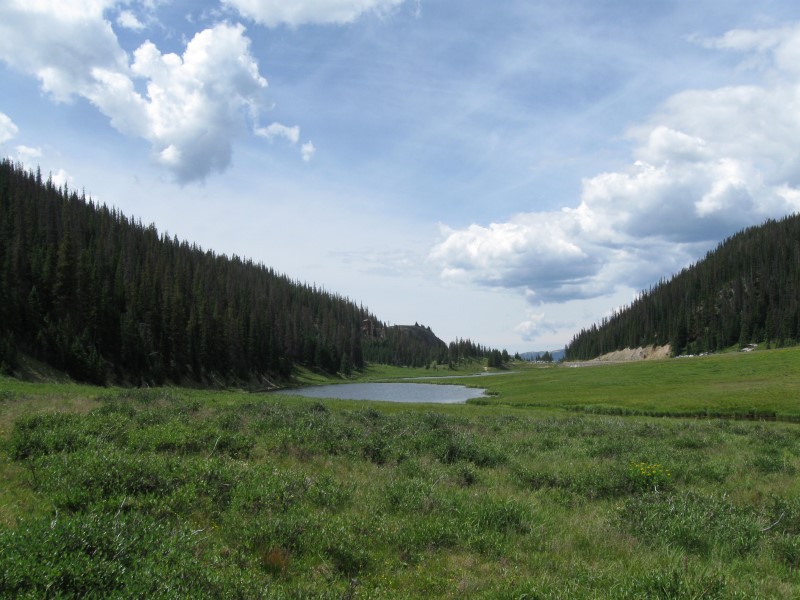
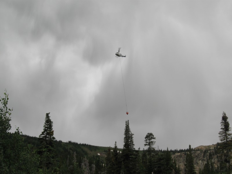
High elevation CG with a nice lake. About 22 dirt/gravel sites; most below the lake and no view of it. Sites below the lake on sloping land. Some tall, skinny spruce/fir type trees, but not enough for much shade. Lots of beautiful wildflowers. Vault toilets. No water. $10. I was lucky to get one of the 2 empty sites. I liked it here. A different feel than the typical USFS CG. Got rained on some everyday. Saturday afternoon I heard a "whop-whop" sound and it was a helicopter hovering over the lake. It came up and had a water bag dangling from a rope. Must have been a fire someplace near, as it came back every few minutes for an hour or so. |
|
16 |
7/9/15 |
Lower Penstemon CG (USFS). 26+ miles S of Hansen,
ID (on US30) on Rock Creek Rd (NF64). 6600 ft.
|
A canyon setting CG with 6 gravel sites on level land, spread out over a large area. Sites are nestled in aspen groves, but there is also a large meadow in the CG. Old style pit toilet. Alongside a road, so occasional daytime traffic. Another CG just up the road 1/4 mi. $8. I passed up 2 other small CGs until I got here. Glad I continued up the canyon to this one, with much more room. |
|
|
15 |
7/8/15 |
Angel Creek CG (USFS) 8 mi SW of Wells, NV on paved NV 231 and paved
side
road. 6800
ft. |
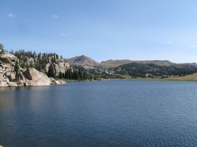
Nice secluded CG with 18 paved, mostly level sites in 2 loops. Sites in groves of aspen trees, but some very short. Shade varies with site. Gravel tent pads in most sites. Nice views from here. Four more miles to Angel Lake and another FS CG @ 8500 ft. 2nd time here. $15. Driving from Elko to Wells it was very windy. I saw a large dust devil (as wide as 2 lanes) working its way towards the Interstate. I slowed down just enough to miss all but the side of it. Otherwise, I might have been camping up in the sky. :) When I got to Wells it was raining very hard. Fortunately, it quit by the time I got to the CG. |
|
|
14 |
7/6/15- |
Thomas Canyon CG (USFS). Go about 20 mi SE of
Elko, NV on NV227 then 8 mi on FR660. In the Lamoille
Canyon of the Ruby
Mountains. 7500 ft. |
|
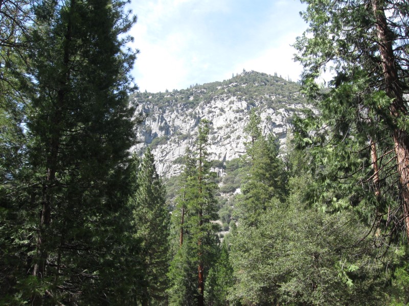
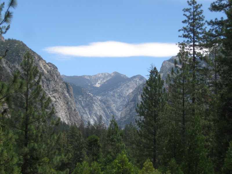
40 paved sites on level land in 3 loops. Lots of aspens. Nice creek flows through CG, making music. Good privacy and some shade in most sites. Absolutely spectacular scenery 360 degrees all around. If you think Nevada is all desert, you're wrong! Lots of hiking trails in the area (some photos from a hike I took in 2010 are here). Vault toilets. I got a primo site with the creek behind me! $17. I highly recommend visiting this area, even if not camping. It's beautiful! Be sure to drive about 5 more miles past the CG to the end of Lamoille Canyon Road for more beauty. On the way here I visited the very interesting California Trail Interpretive Center near Elko. And we think we have it tough these days. :) |
|
13 |
7/5/15 |
Water Canyon CG (BLM). About 5 mi SE of Winnemucca,
NV via Water Canyon Rd. 5700 ft. |
|
Unique CG in a small canyon. Dead-end dirt road runs into the canyon and primitive sites are sporadically located between it and a small creek (just a trickle now). Not sure how many sites, but guessing 10 or so. No trees except along creek. Nice view looking back down into the valley. Vehicles going by now and then in either direction. Very quiet at night. 2nd time here. The price is right @ $0. Sites along the creek I checked were taken, so I was in the open in what's probably a picnic area. |
|
12 |
7/2/15 - |
Alpine Meadows CG in Martis Creek Lake NRA (COE). From
I80 near Truckee, CA, take North Shore Blvd S about
3 mi then 2 mi E on Martis Creek Rd. 5800 ft.
|
|
Nice CG with 25 paved sites on level land. Groups of tall pines provide varying shade to sites. Beautiful view of large meadow from back of CG. Very peaceful at night. Dirt road from CG leads to small, narrow lake with good fishing reputation (catch & release only). Some small aircraft sounds from nearby airport. Some planes are towing up gliders. Third time here. I like this place! $20. Got here about 2:30 p.m. and several sites available. Next morning there were none. A bear walked right thru the sagebrush behind my camper, while I was in my camper!! |
|
11 |
6/23/15- |
Robinson Creek CG (USFS). 9 mi SW of Bridgeport, CA on
Twin Lakes Rd. 7000 ft. |
|
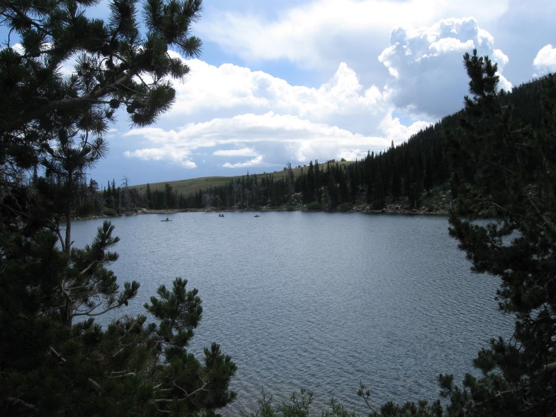
Very popular CG with 54 paved sites in tall pines on level land. Shade varies significantly with site. The very nice Robinson Creek wraps around the CG. Usually good fishing, if they have stocked recently. Many sites on the creek. My favorite Sierra CG. Several other CGs nearby. $22. Had a great time camping with my daughter and son and family. This was my 39th year to camp in this area. |
|
10 |
6/16/15 |
San Lorenzo CG (County). In King City, CA.
290 ft. |
Part of a large county park. Amost 100 sites, close together, on level land. In 3 concentric loops. A mix of paved and grass sites. Most sites have water & electric (25 have sewer, also). Many sites have significant shade, due to large leafy trees. About 1/2 mile away from busy US101, but noise level low. Flush toilets, showers & laundry. Agriculture museum in the park, along with much old farm equipment spread around the grounds. Was here in 2013. $37 w/water + elec.. |
|
|
9 |
6/15/15 |
Lake Cachuma CG (County). About 18 mi NW of Santa Barbara, CA on CA154.
|
|
Mega CG wiith over 450 sites above a large (but now very low) lake. All sites I saw were on dirt, close together and among numerous live oak trees. Some sites have good shade. Sites with full and partial hookups available. Yurts and cabins, also. Showers, pool, general store and laundromat. Dump station (free to campers). Was here in 2006. $28 |
|
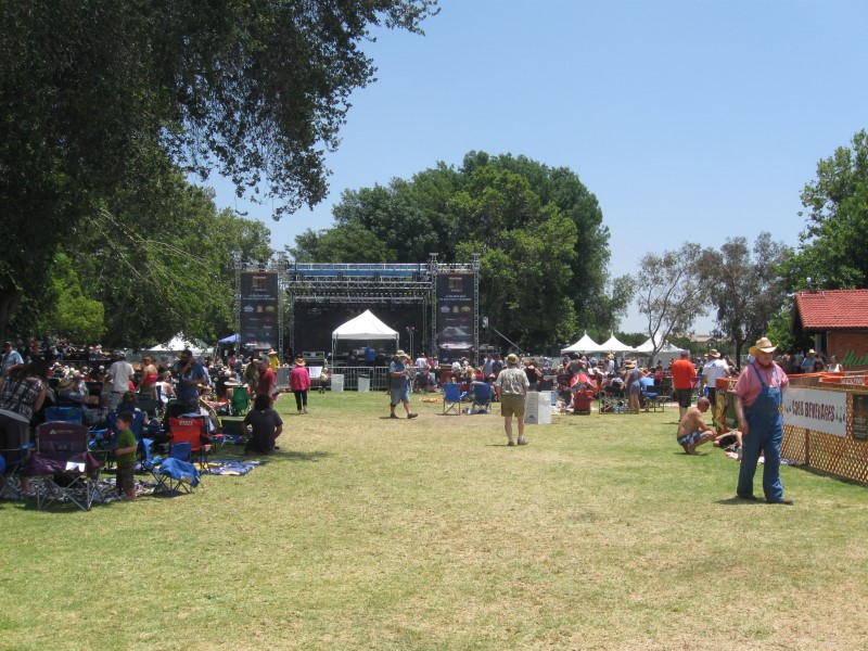
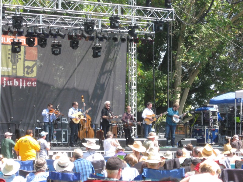
8 |
6/11/15- |
Cucamonga-Guasti Regional Park in Ontario, CA for
the Huck Finn Jubilee Bluegrass Festival. 1000
ft. Note: This place is not normally a campground, so don't try it. |
|
Great festival with several "A level" status bluegrass bands, including some of my favorites. Some other bands were not really bluegrass, but more "jamgrass" (for the young folk). Weather was great, but a bit warm on the final day. Camped with a long time musician friend of mine from SoCal. Got some jamming in with him and others. Stayed up too late a couple of nights (yawn). Small pavilion near us had workshops and "up close and personal" performances by some of the bands. |
|
7 |
6/2/15 |
Los Alamos CG (USFS/Dept. Water?), off I5 8 mi S of Gorman,
CA. Take Smokey Bear Rd exit, then S to lake entrance,
then right and follow road N & W about 2 mi. 2800
ft. Note: My Garmin GPS tried to route me another way from Smokey Bear Rd, which was longer and I don't think would have worked. |
93 sites in 3 loops on hilly, sandy land. No or little shade in sites, except for about 6 with shade structures. Flush toilets. Pyramid Lake nearby. Slight hum from I5, but overall very peaceful. Dump station. This place can't seem to make up it's mind about the Fed Senior Pass discount. Now the answer is "No". It's bounced back and forth the last few years. $20. |
|
|
6 |
6/1/15 |
Princess CG (USFS). Near Kings Canyon National
Park. 6+ mi NE of Grant Grove on hwy 180. 5900
ft. |
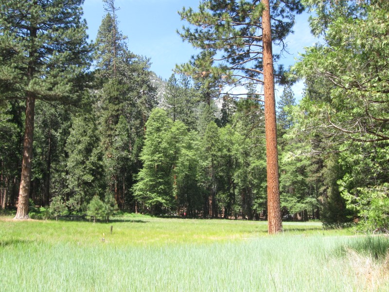
Nice CG with 88 paved or gravel sites on sloping land (more than slight at times). Plenty of tall trees for shade. Beautiful meadow outside CG as you drive in. Alongside a hwy with minimal traffic. Vault toilets. Dump station ($10; electronic box takes credit or debit card only). The coldest night since I've been here with a low of 38F. $24. Pretty Hume Lake about 4 mi away. |
|
|
5 |
5/31/15 |
Sunset CG, Kings Canyon National Park. 58 mi E of Fresno, CA
on hwy 180. 6500 ft. |
|
Mega CG with 157 paved sites on hilly land. Plenty of tall trees. Sites on W side of CG have a great view off into the valley, especially at sunset time. Store, restaurant and park visitor center less than a mile away. Flush toilets. $18. Back up to higher elevation, where it's a bit cooler. |
|
4 |
5/28/15- |
Sheep Creek CG, Kings Canyon National Park. 30
mi E of Grant Grove, Kings Canyon NP on hwy 180. 4500
ft. |
|
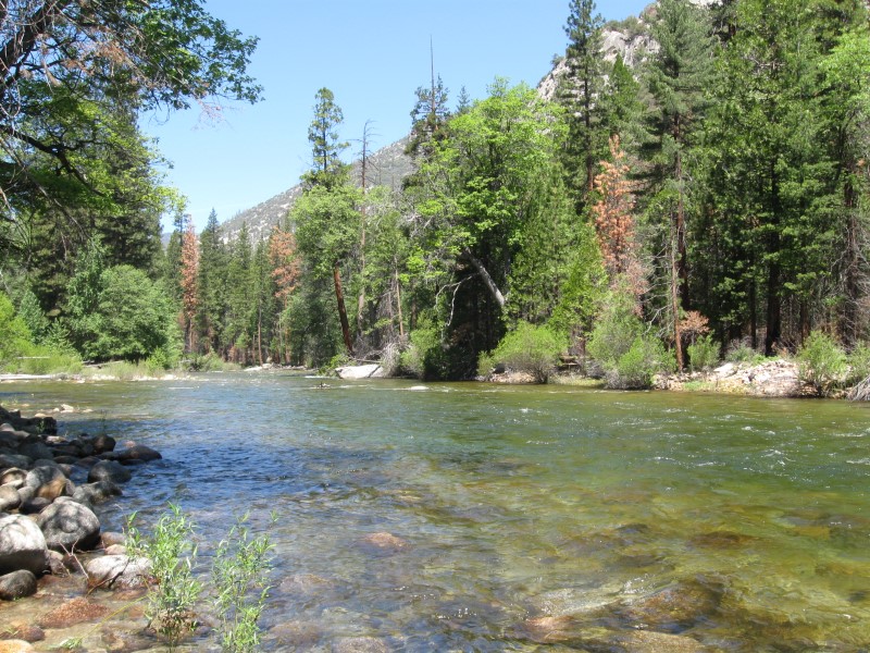
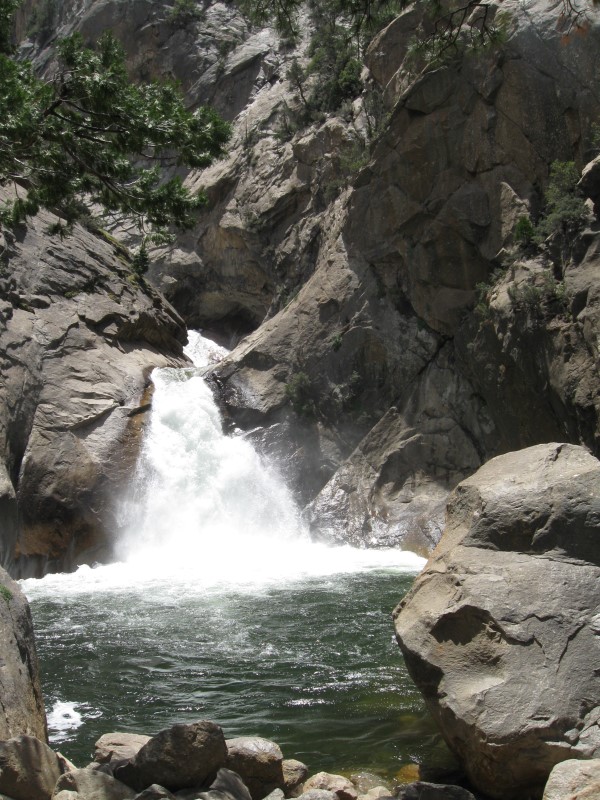
111 paved sites on sloped land. Plenty of "at least sometime" shade from tall conifer type trees. Many back-in sites are too small for a vehicle much larger than my 22 footer. Sites frequently close together. Sites at bottom of CG are near the Kings River (S Fk), but more than a stone's throw. Very nice view of tall bluffs across the river from some sites, mine included. Flush toilets. $18. Drove the 6 miles to "roads end" one day and checked out various scenic spots. I liked Roaring River Falls best (see picture). Usually don't spend 3 nights at one CG. However, I had a nice site w/o close neighbors and needed to rest up from "trip prep". In the evening, several skeeters met their end from my "zapper racquet". |
|
3 |
5/27/15 |
Sentinel CG, Kings Canyon National Park. 30
mi E of Grant Grove, Kings Canyon NP on hwy 180. 4500
ft. |
|
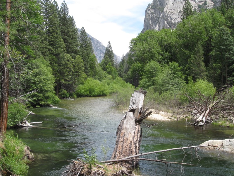
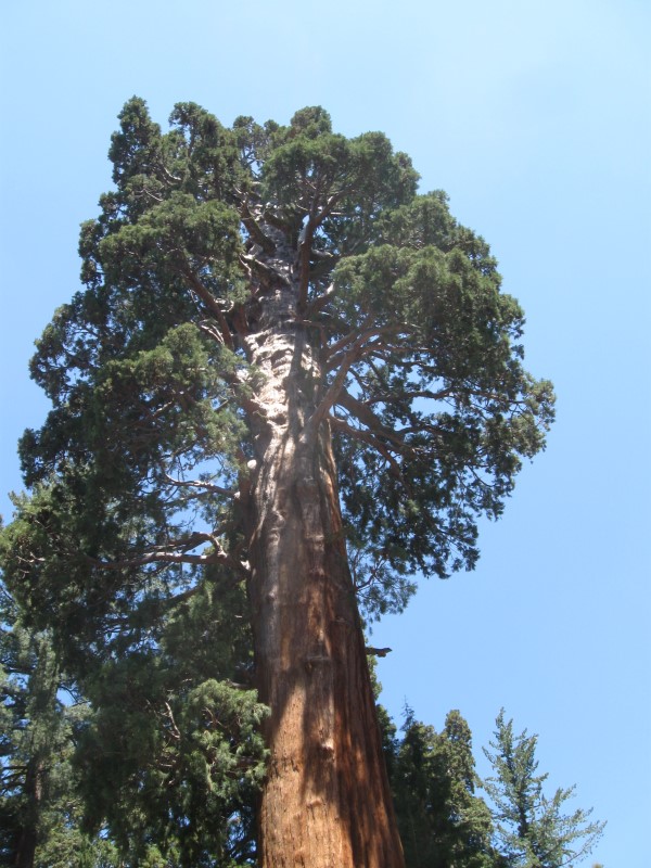
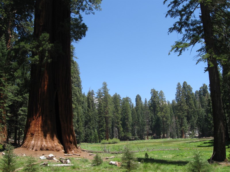
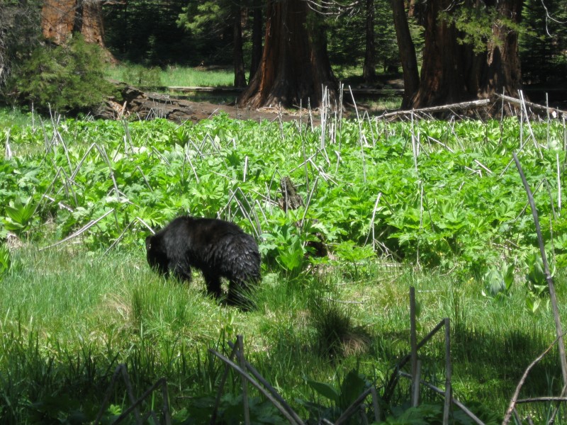
83 paved sites on slightly sloped land. Among a thick stand of very tall conifer type trees. Many sites full shade. Fast flowing Kings River (S Fk) alongside CG. A scenic large meadow at the bottom of the CG separates a few riverside sites from the rest. Flush toilets. Small market with snack bar close by. $18. When I was at this NP several years ago, I didn't come down into the canyon. Sure glad I did this time. Very scenic. On the way here I stopped at Round Meadow in Sequoia NP. Saw 5 bear in the meadow! |
|
2 |
5/26/15 |
Potwisha CG, Sequoia National Park, 40 E of Visalia, CA on hwy
198. 2100 ft. |
Nice CG with 40 paved sites, well apart and large sized. On sloping land, so RVs likely will need some leveling. Many large, live oak trees for shade. In a canyon for delayed sun-up and early sundown. Small flies and some skeeters annoyed me somewhat. Boulder strewn Kaweah River fork alongside CG, but not visible from sites. Flush toilets. Dump station across the road. Was here in 2008. $22. Feels great to be back on the road again!! :) |
|
|
|
|
Back at winter "home base" until after Memorial Day. |
|
|
|
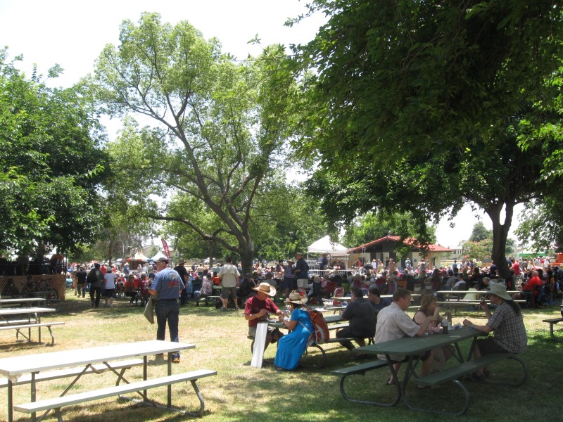
1 |
5/7 /15- 5/9/15 |
Parkfield, CA ("The Earthquake Capitol
of the World") for the Parkfield Bluegrass
Festival. NE of Paso Robles, CA in farming country. About
15 mi off of CA41/46 or 25 mi off US101, via San Miguel. 1500
ft. |
My 3rd time at this great mid-sized bluegrass festival. Try it, you'll like it. Weather not the best on Thur/Fri, but nice and sunny on Sat/Sun. Lots of good music by primarily regional and local acts. Way more campers than 4 years ago! |


|
[Home] [Camper Add-Ons] [Campsite Map] [Interviews] [Photo Albums] [Sporadic Blog] [Tips] [My Music] [Contact Me]
|